
Seiteninhalt
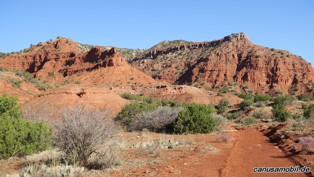
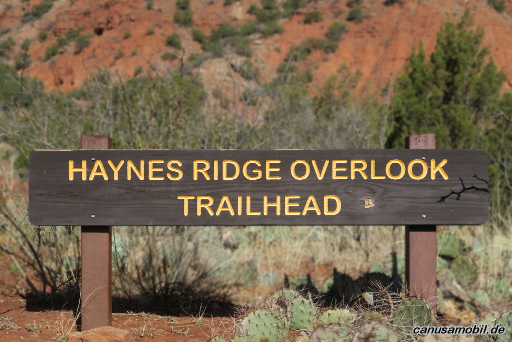
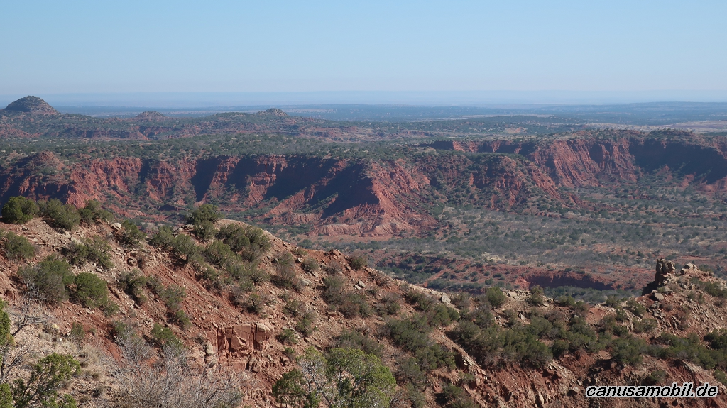
Caprock Canyons Trail, Texas, USA
Gesamtstrecke: 16.66 km
Maximale Höhe: 956 m
Minimale Höhe: 704 m
Gesamtanstieg: 458 m
Gesamtzeit: 04:35:57
Download file: Caprock Canyons Trail 2.gpx
Maximale Höhe: 956 m
Minimale Höhe: 704 m
Gesamtanstieg: 458 m
Gesamtzeit: 04:35:57
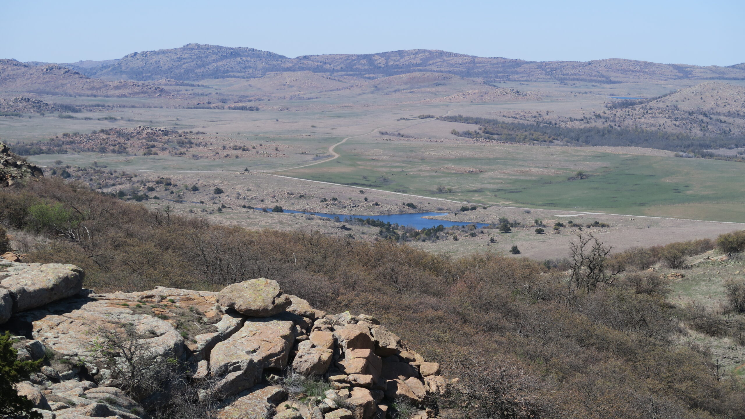
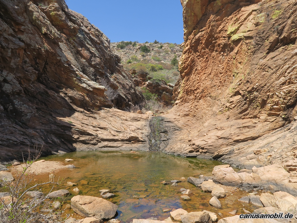
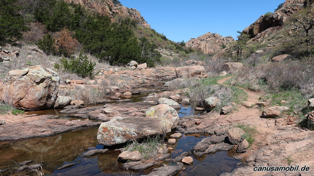
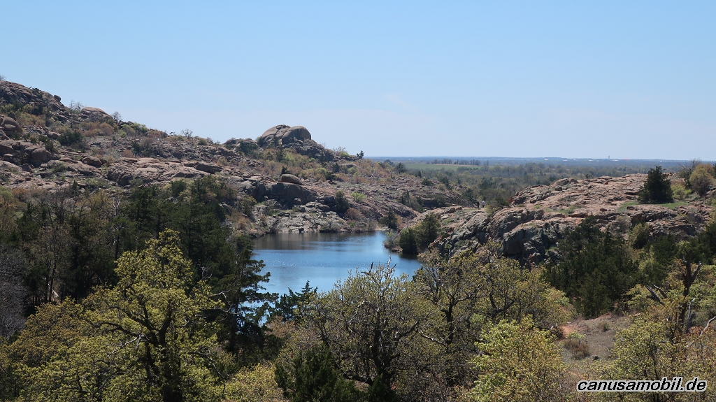
Charons Garden Trail mit Crab Eyes, Oklahoma, USA
Gesamtstrecke: 11.52 km
Maximale Höhe: 606 m
Minimale Höhe: 472 m
Gesamtanstieg: 400 m
Gesamtzeit: 04:24:11
Download file: Charons Garden Trail mit Crab Eyes.gpx
Maximale Höhe: 606 m
Minimale Höhe: 472 m
Gesamtanstieg: 400 m
Gesamtzeit: 04:24:11
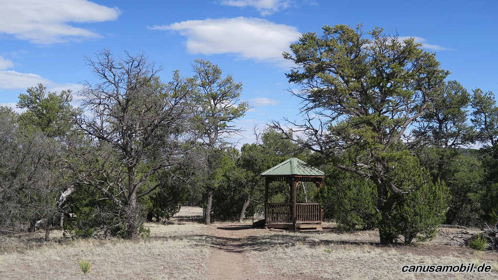
Datil Well Loop Trail, New Mexico, USA
Gesamtstrecke: 5.42 km
Maximale Höhe: 2345 m
Minimale Höhe: 2273 m
Gesamtanstieg: 149 m
Gesamtzeit: 01:18:25
Download file: Datil Well Loop Trail.gpx
Maximale Höhe: 2345 m
Minimale Höhe: 2273 m
Gesamtanstieg: 149 m
Gesamtzeit: 01:18:25
Elk Mountain Trail, Oklahoma, USA
Gesamtstrecke: 3.64 km
Maximale Höhe: 683 m
Minimale Höhe: 499 m
Gesamtanstieg: 195 m
Gesamtzeit: 01:31:31
Download file: Elk Mountain Trail.gpx
Maximale Höhe: 683 m
Minimale Höhe: 499 m
Gesamtanstieg: 195 m
Gesamtzeit: 01:31:31
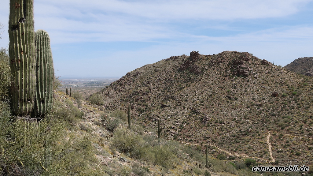
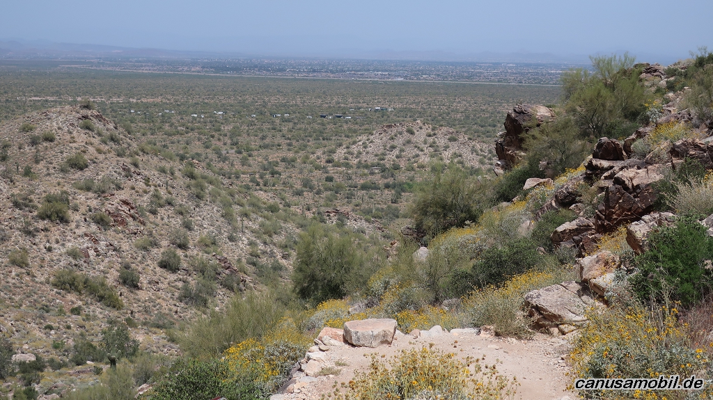
Los Caballos Trail, Arizona, USA
Gesamtstrecke: 25.45 km
Maximale Höhe: 2103 m
Minimale Höhe: 1898 m
Gesamtanstieg: 586 m
Gesamtzeit: 06:09:43
Download file: Los Caballos Trail.gpx
Maximale Höhe: 2103 m
Minimale Höhe: 1898 m
Gesamtanstieg: 586 m
Gesamtzeit: 06:09:43
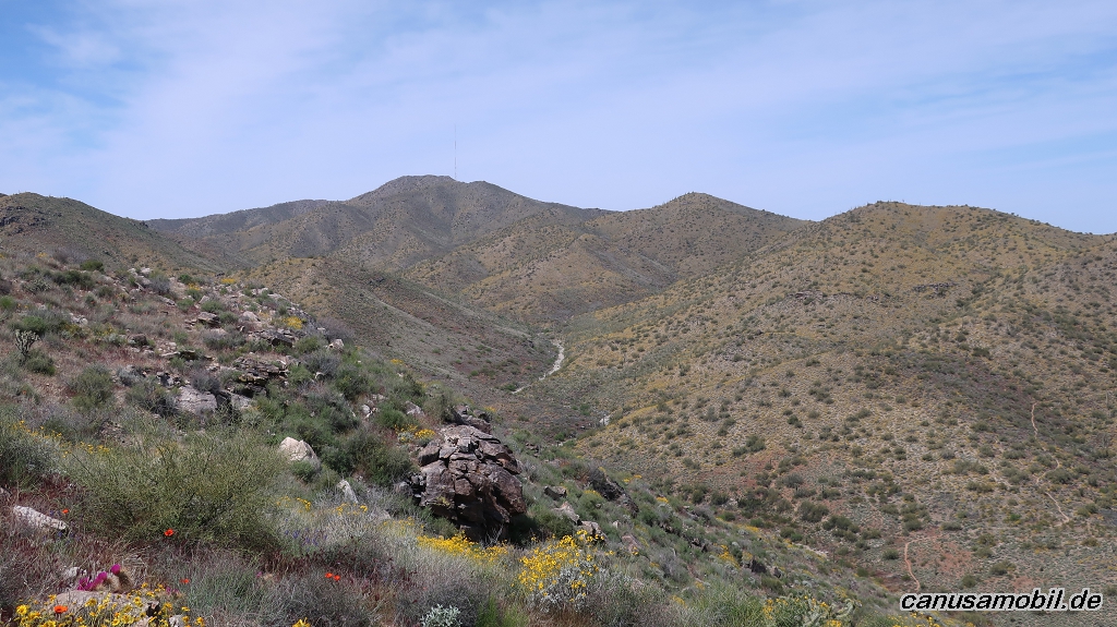
Mesquite Canyon mit Willow Canyon Trail, Arizona, USA
Gesamtstrecke: 19.13 km
Maximale Höhe: 870 m
Minimale Höhe: 460 m
Gesamtanstieg: 603 m
Gesamtzeit: 05:32:36
Download file: Mesquite Canyon mit Willow Canyon Trail.gpx
Maximale Höhe: 870 m
Minimale Höhe: 460 m
Gesamtanstieg: 603 m
Gesamtzeit: 05:32:36
Fotoalbum
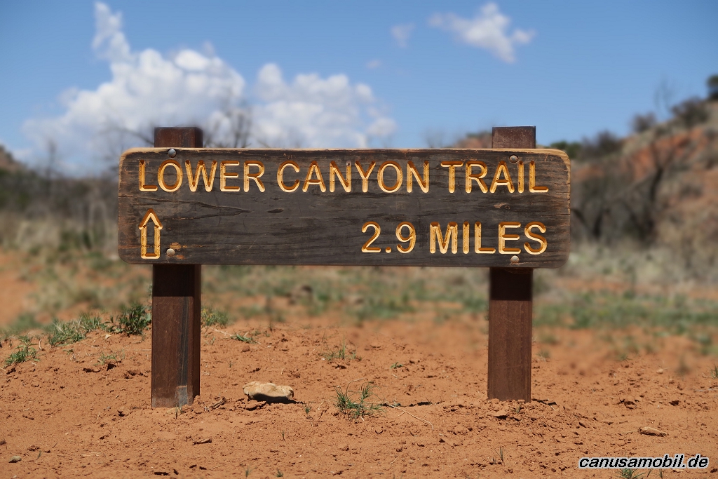
Caprock Canyons Trail 01
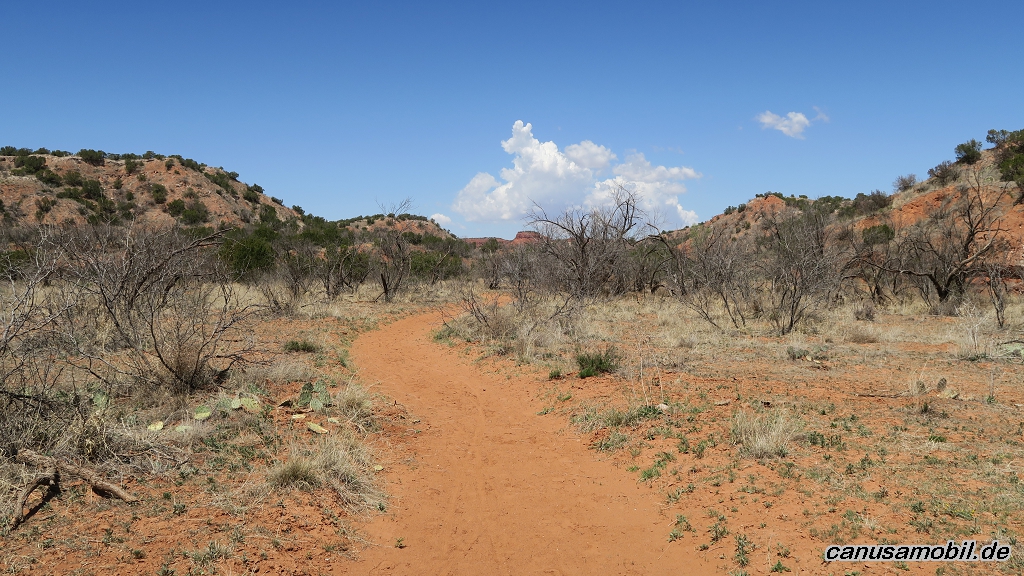
Caprock Canyons Trail 02
Caprock Canyons Trail 03
Caprock Canyons Trail 04
Caprock Canyons Trail 05
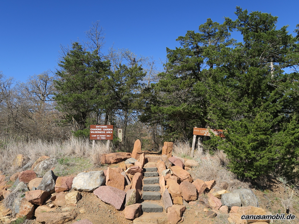
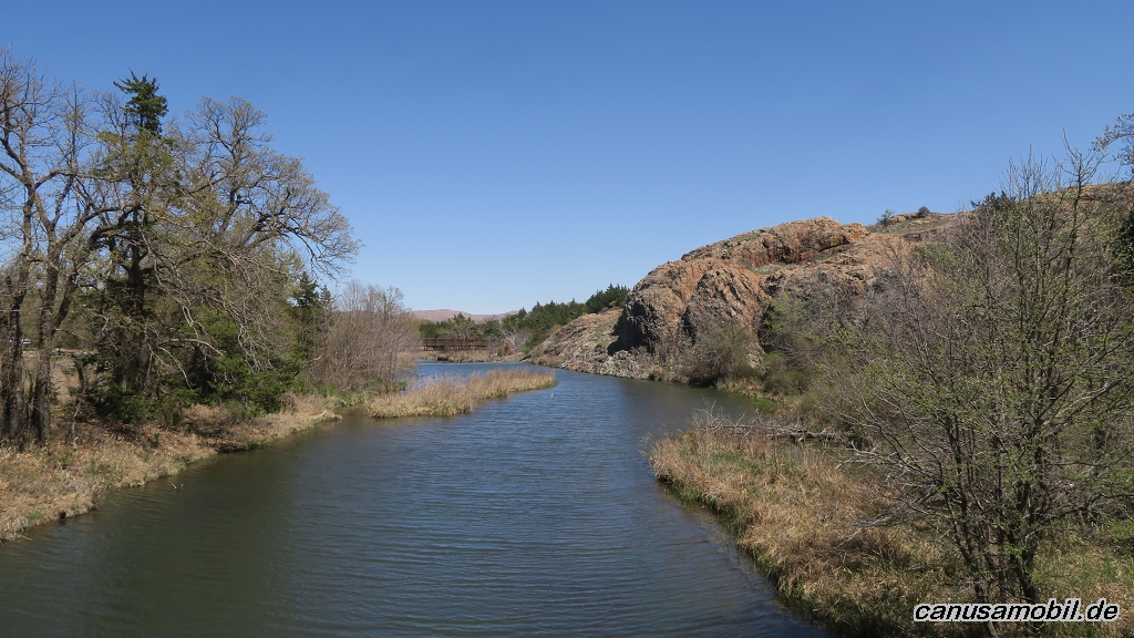
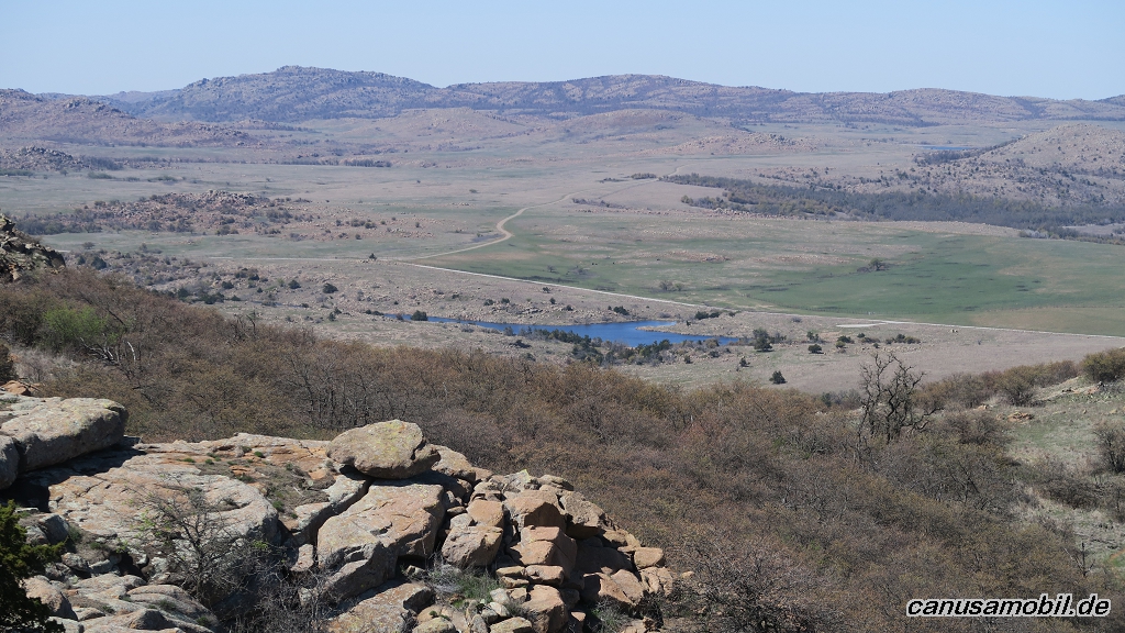
Charon Garden Trail 01
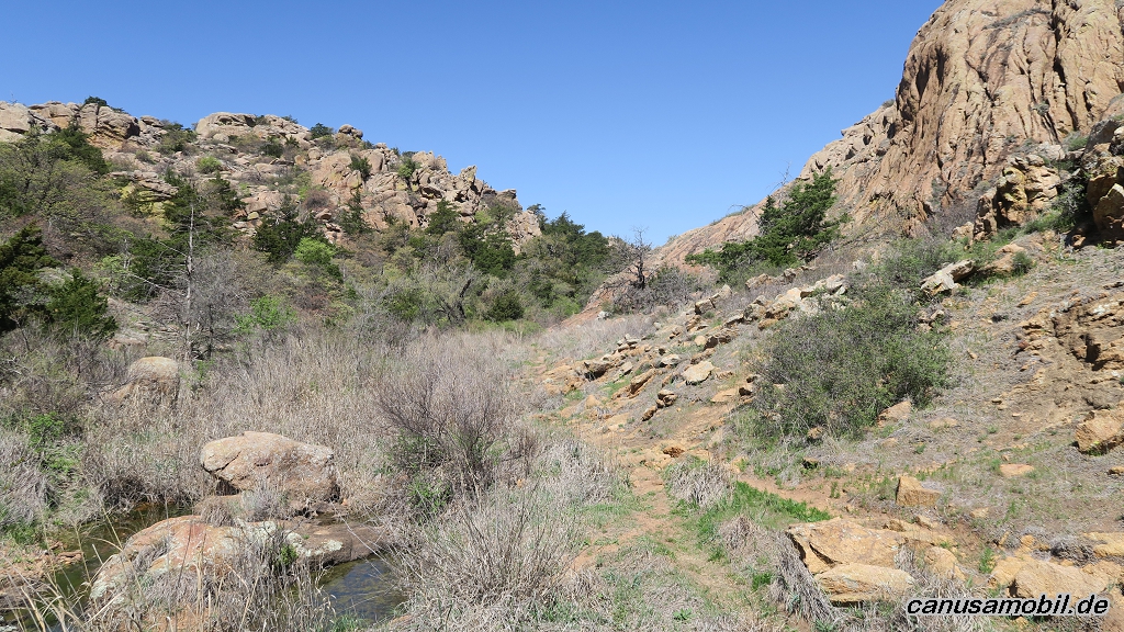
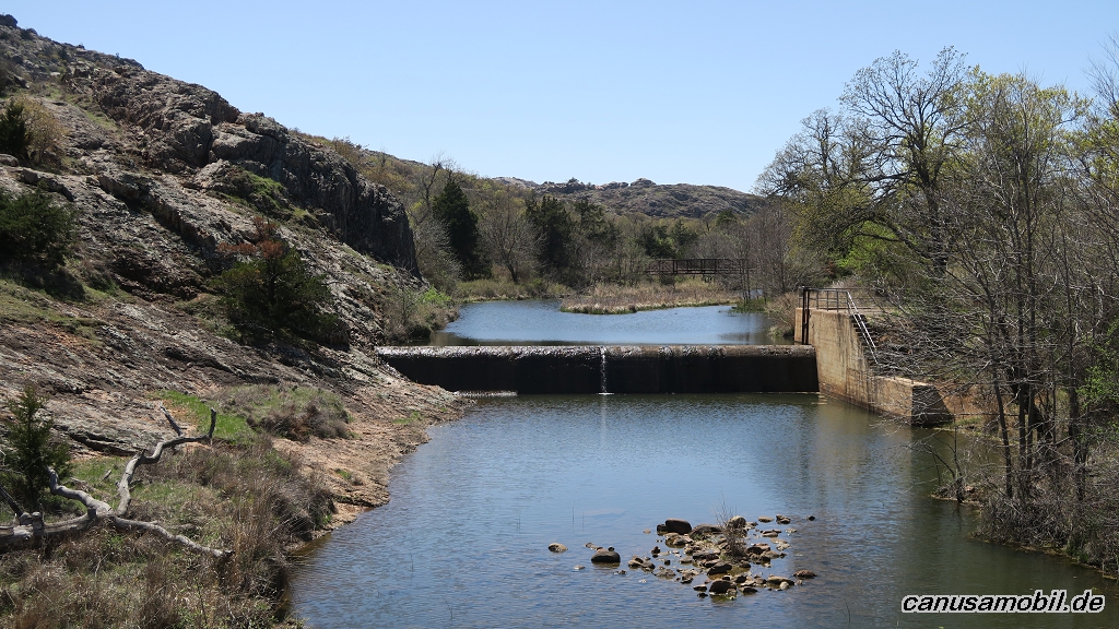
Charon Garden Trail 02
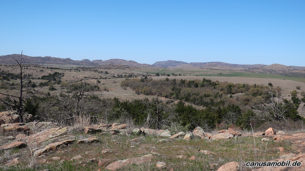
Charon Garden Trail 03
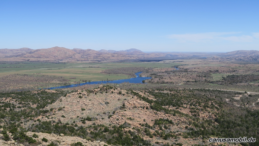
Charon Garden Trail 04
Charon Garden Trail 05
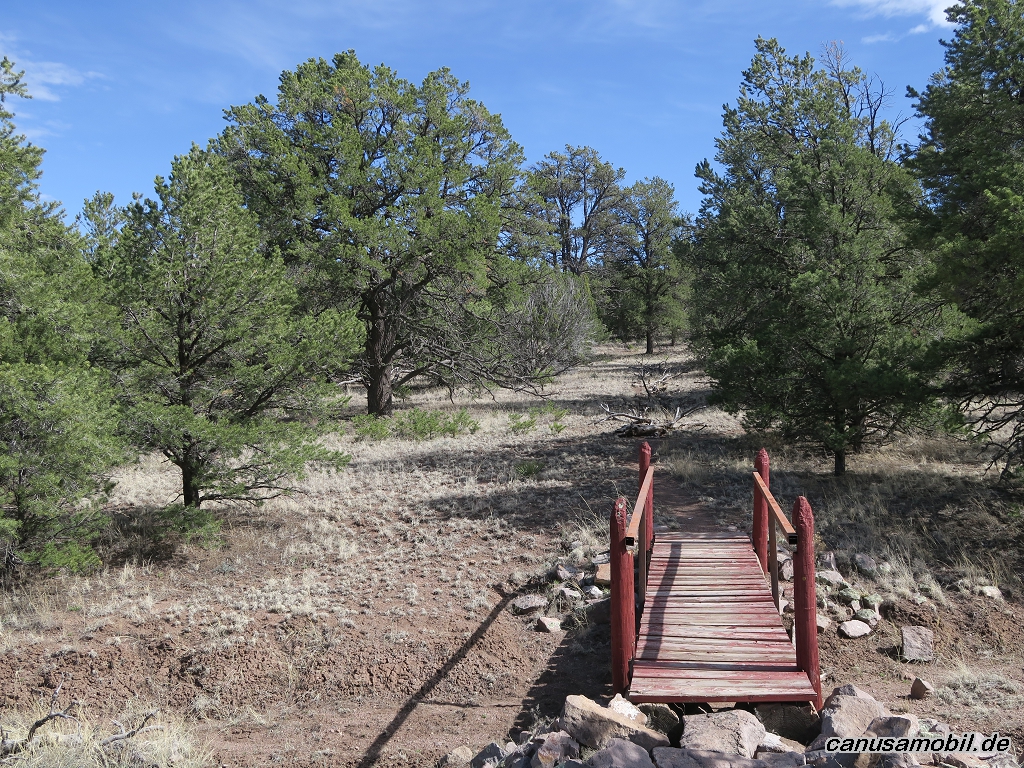
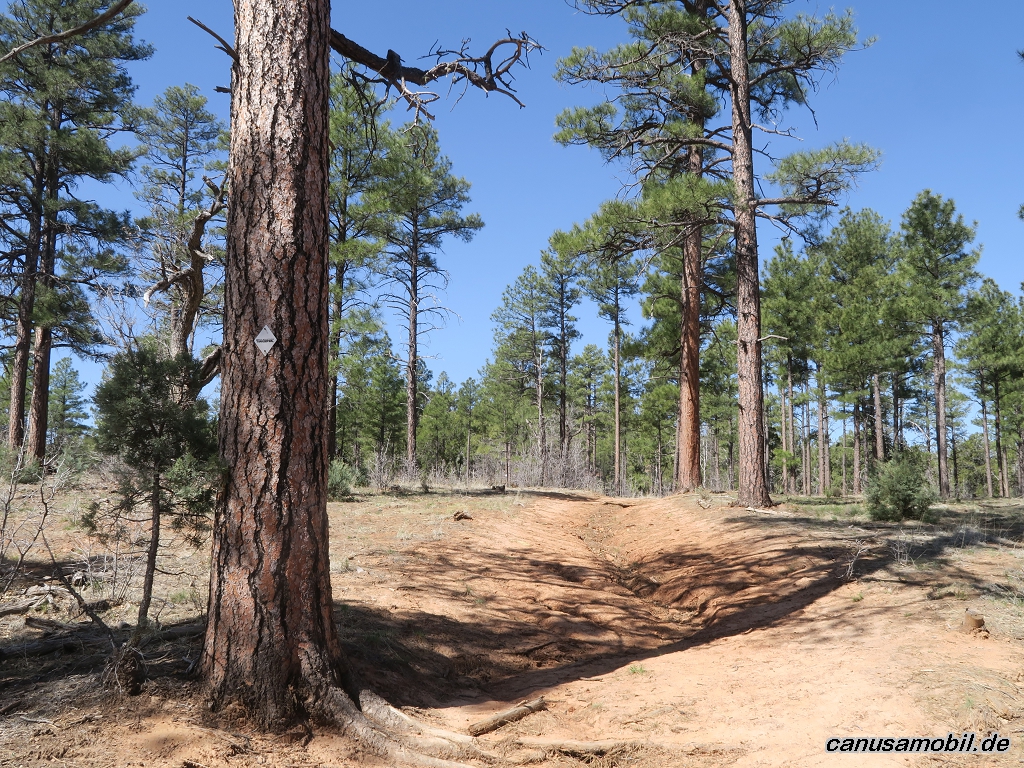
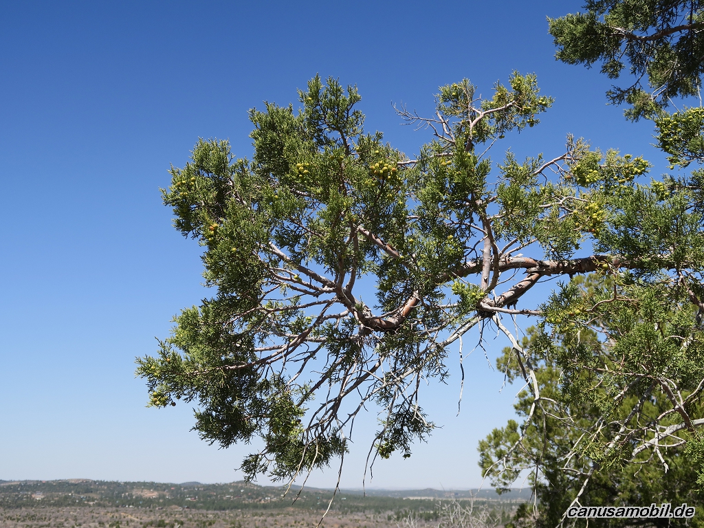
Datil Well Loop Trail 01
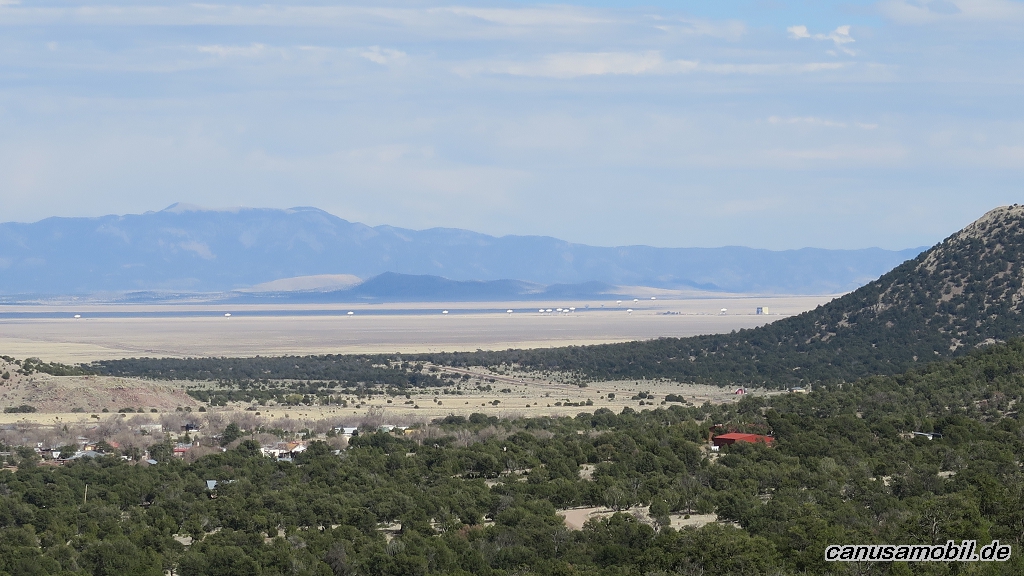
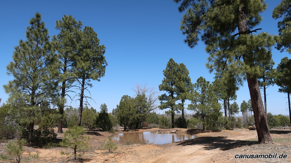
Datil Well Loop Trail 02
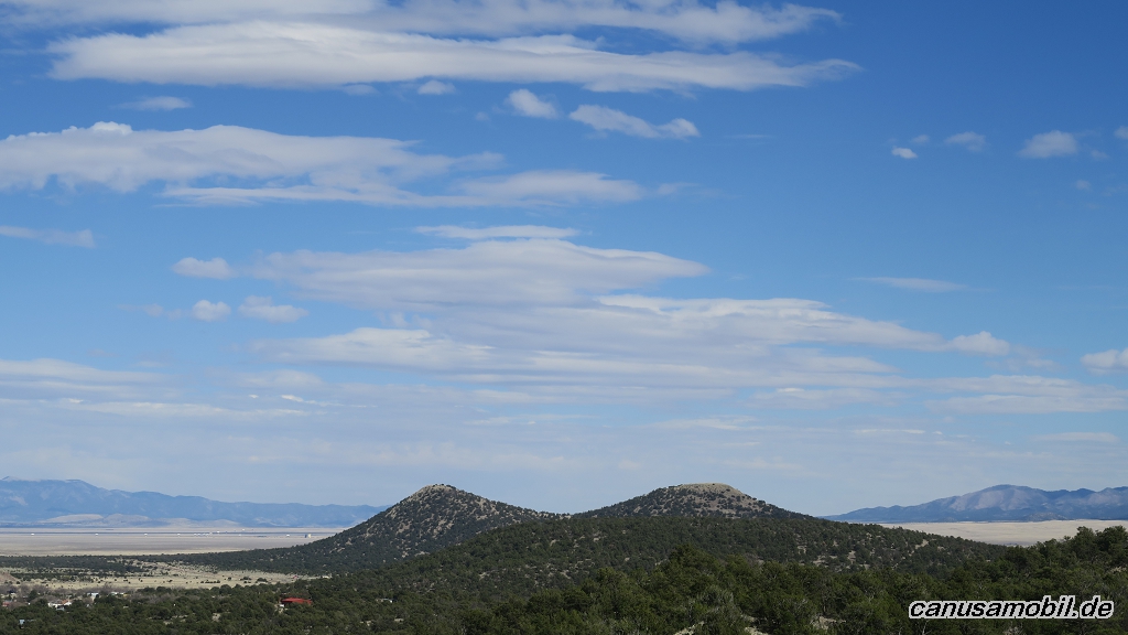
Datil Well Loop Trail 03
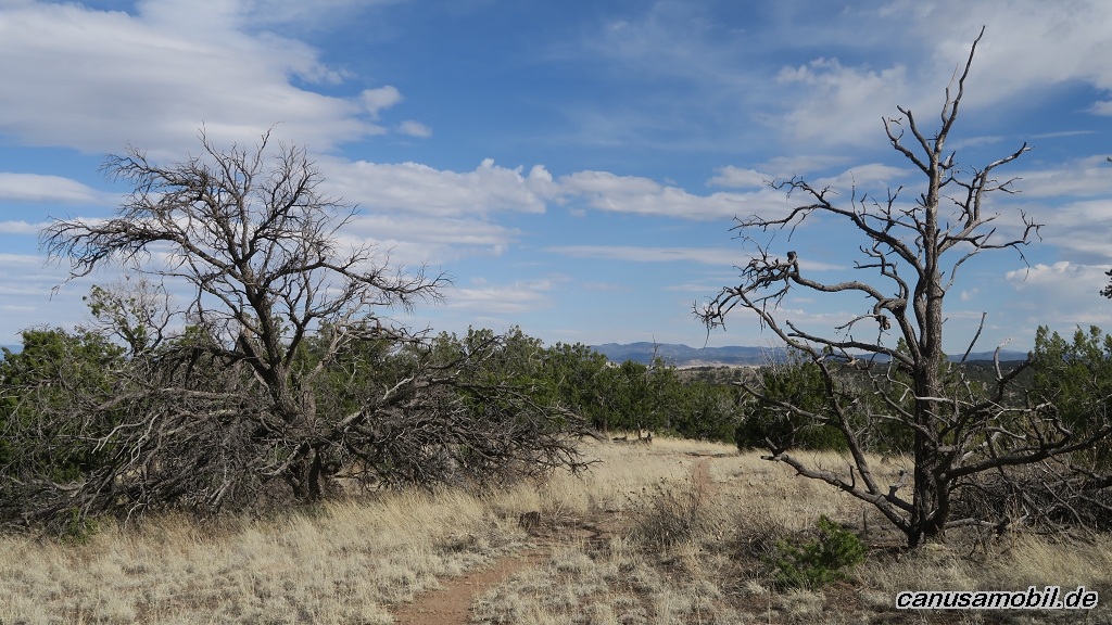
Datil Well Loop Trail 04
Datil Well Loop Trail 05
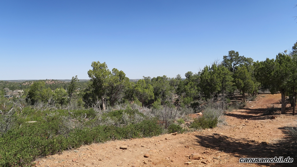
Elk Mountain Trail 01
Elk Mountain Trail 02
Elk Mountain Trail 03
Elk Mountain Trail 04
Elk Mountain Trail 05
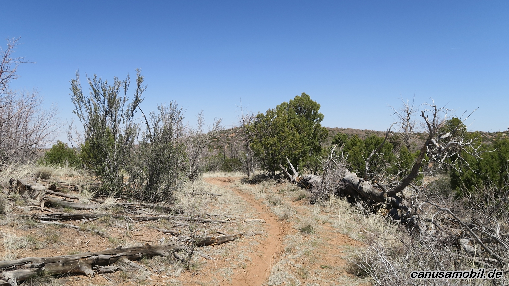
Los Caballos Trail 01
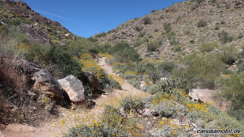
Los Caballos Trail 02
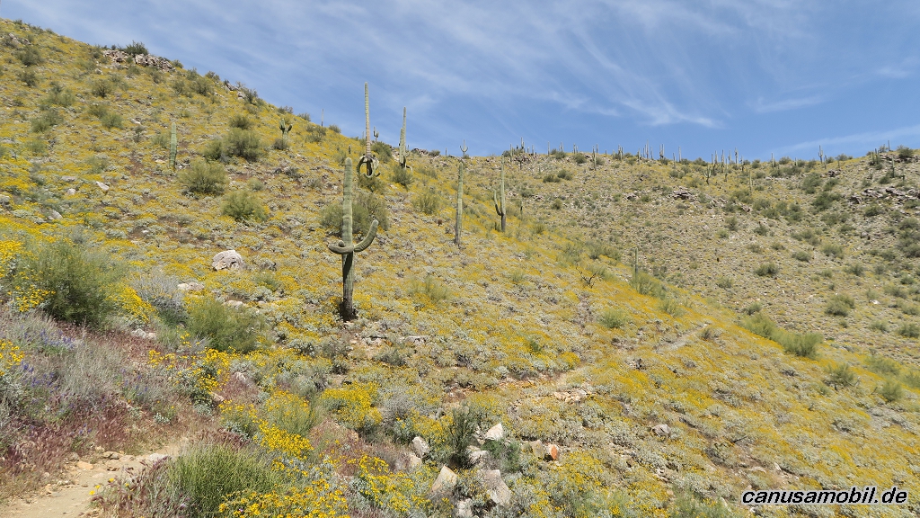
Los Caballos Trail 03
Los Caballos Trail 04
Los Caballos Trail 05
Mesquite Canyon mit Willow Canyon Trail 01
Mesquite Canyon mit Willow Canyon Trail 02
Mesquite Canyon mit Willow Canyon Trail 03
Mesquite Canyon mit Willow Canyon Trail 04
Mesquite Canyon mit Willow Canyon Trail 05