Seiteninhalt
Barber Peak Loop Trail, Kalifornien, USA
Gesamtstrecke: 8.66 km
Maximale Höhe: 1419 m
Minimale Höhe: 1267 m
Gesamtanstieg: 297 m
Gesamtzeit: 03:03:50
Download file: Barber Peak Loop Trail.gpx
Maximale Höhe: 1419 m
Minimale Höhe: 1267 m
Gesamtanstieg: 297 m
Gesamtzeit: 03:03:50
Boulder Canyon Trail, Arizona, USA
Gesamtstrecke: 7.37 km
Maximale Höhe: 725 m
Minimale Höhe: 514 m
Gesamtanstieg: 440 m
Gesamtzeit: 02:45:34
Download file: Boulder Canyon Trail.gpx
Maximale Höhe: 725 m
Minimale Höhe: 514 m
Gesamtanstieg: 440 m
Gesamtzeit: 02:45:34
Chaco Canyon, New Mexico, USA
Gesamtstrecke: 28.85 km
Maximale Höhe: 1979 m
Minimale Höhe: 1870 m
Gesamtanstieg: 369 m
Gesamtzeit: 08:23:23
Download file: Chaco Canyon.gpx
Maximale Höhe: 1979 m
Minimale Höhe: 1870 m
Gesamtanstieg: 369 m
Gesamtzeit: 08:23:23
Copper Canyon mit South Baldy Trail, New Mexico, USA
Gesamtstrecke: 21.95 km
Maximale Höhe: 3253 m
Minimale Höhe: 2095 m
Gesamtanstieg: 1295 m
Gesamtzeit: 07:48:31
Download file: Copper Canyon mit South Baldy Trail.gpx
Maximale Höhe: 3253 m
Minimale Höhe: 2095 m
Gesamtanstieg: 1295 m
Gesamtzeit: 07:48:31
Ghost of the Coyote Trail, Arizona, USA
Gesamtstrecke: 20.76 km
Maximale Höhe: 2007 m
Minimale Höhe: 1918 m
Gesamtanstieg: 403 m
Gesamtzeit: 05:20:17
Download file: Ghost of the Coyote Trail.gpx
Maximale Höhe: 2007 m
Minimale Höhe: 1918 m
Gesamtanstieg: 403 m
Gesamtzeit: 05:20:17
Kelso Dunes Trail, Kalifornien, USA
Gesamtstrecke: 4.39 km
Maximale Höhe: 935 m
Minimale Höhe: 755 m
Gesamtanstieg: 231 m
Gesamtzeit: 01:50:45
Download file: Kelso Dunes Trail.gpx
Maximale Höhe: 935 m
Minimale Höhe: 755 m
Gesamtanstieg: 231 m
Gesamtzeit: 01:50:45
Lost Palms Oasis mit Mastodon Mine Loop Trail, Kalifornien, USA
Gesamtstrecke: 14.33 km
Maximale Höhe: 1053 m
Minimale Höhe: 905 m
Gesamtanstieg: 527 m
Gesamtzeit: 05:35:56
Download file: Lost Palms Oasis mit Mastodon Mine Loop Trail.gpx
Maximale Höhe: 1053 m
Minimale Höhe: 905 m
Gesamtanstieg: 527 m
Gesamtzeit: 05:35:56
Rings Loop Trail, Kalifornien, USA
Gesamtstrecke: 2.3 km
Maximale Höhe: 1295 m
Minimale Höhe: 1248 m
Gesamtanstieg: 82 m
Gesamtzeit: 00:41:02
Download file: Rings Loop Trail.gpx
Maximale Höhe: 1295 m
Minimale Höhe: 1248 m
Gesamtanstieg: 82 m
Gesamtzeit: 00:41:02
Ryan Mountain Trail, Kalifornien, USA
Gesamtstrecke: 4.71 km
Maximale Höhe: 1644 m
Minimale Höhe: 1331 m
Gesamtanstieg: 321 m
Gesamtzeit: 01:42:59
Download file: Ryan Mountain Trail.gpx
Maximale Höhe: 1644 m
Minimale Höhe: 1331 m
Gesamtanstieg: 321 m
Gesamtzeit: 01:42:59
Siphon Draw Trail, Kalifornien, USA
Gesamtstrecke: 12.12 km
Maximale Höhe: 1397 m
Minimale Höhe: 630 m
Gesamtanstieg: 1128 m
Gesamtzeit: 07:13:57
Download file: Siphon Draw Trail.gpx
Maximale Höhe: 1397 m
Minimale Höhe: 630 m
Gesamtanstieg: 1128 m
Gesamtzeit: 07:13:57
Fotoalbum
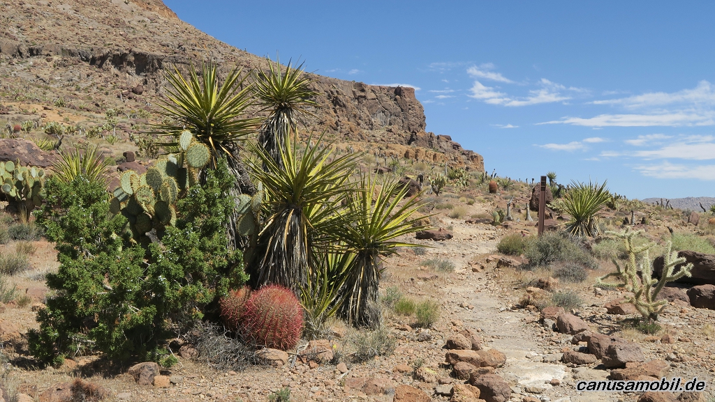
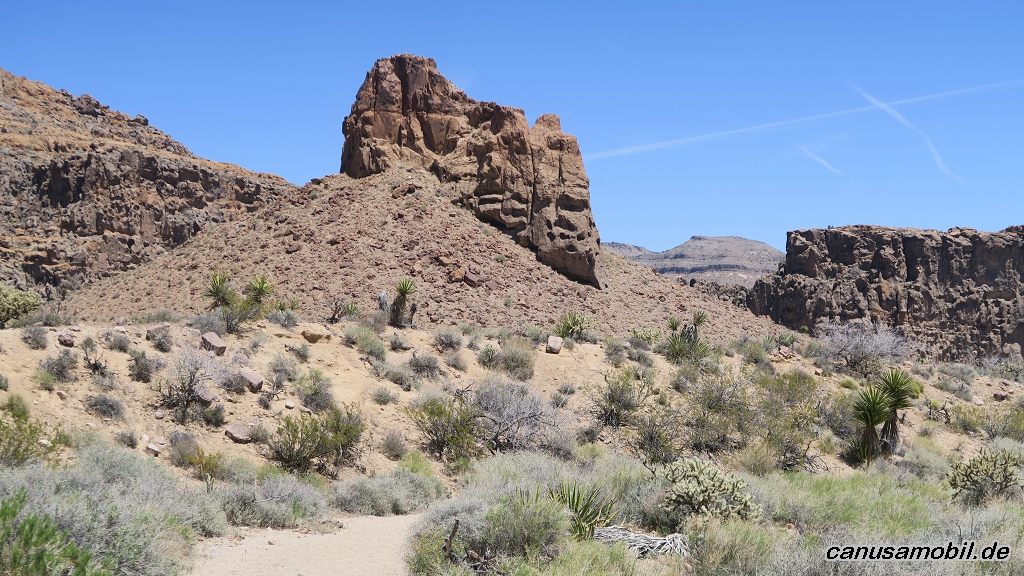
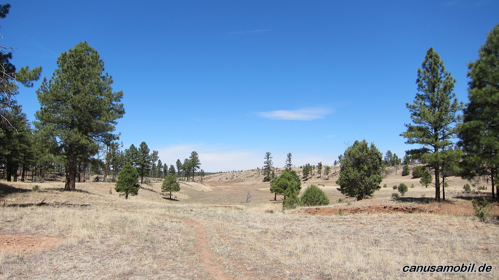
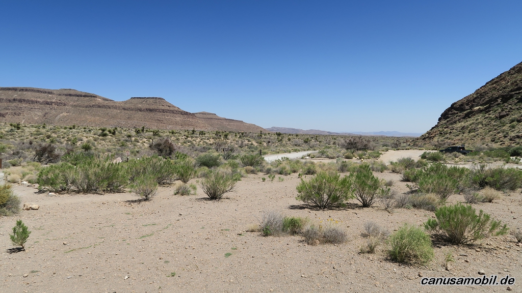
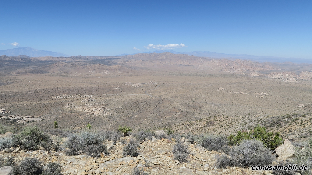
Barber Peak Loop Trail 01
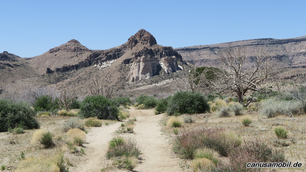
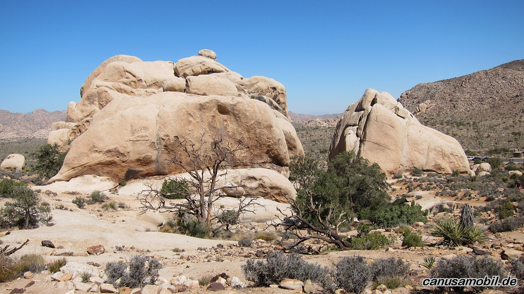
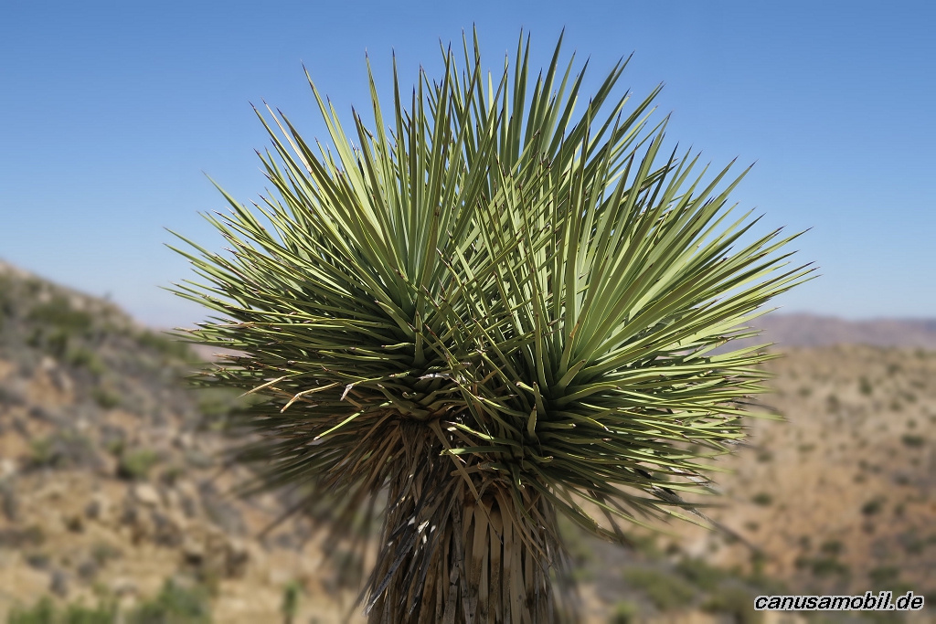
Barber Peak Loop Trail 02
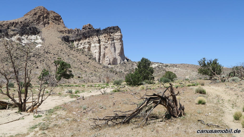
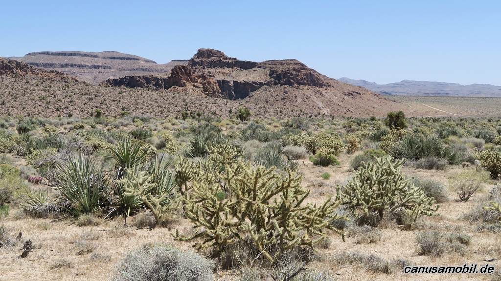
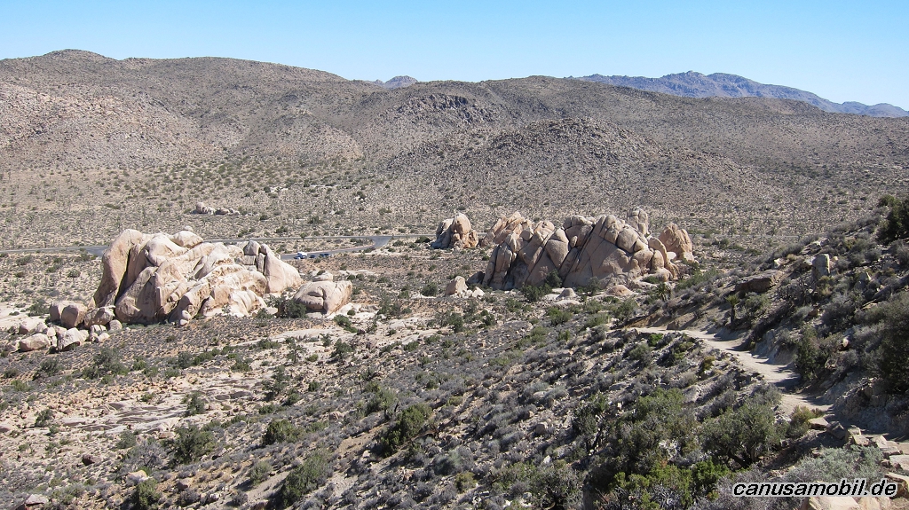
Barber Peak Loop Trail 03
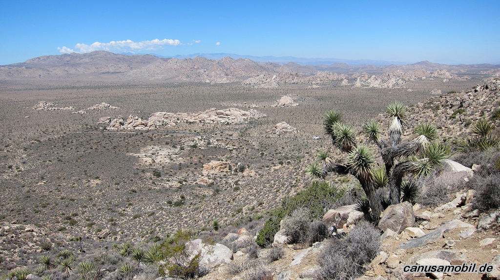
Barber Peak Loop Trail 04
Barber Peak Loop Trail 05
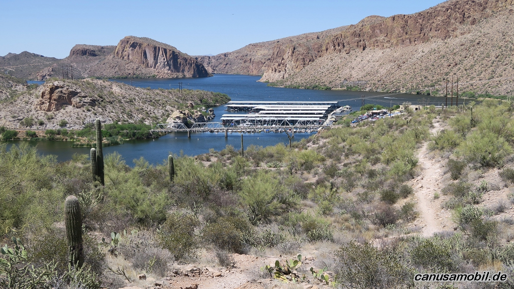
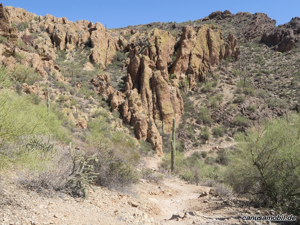
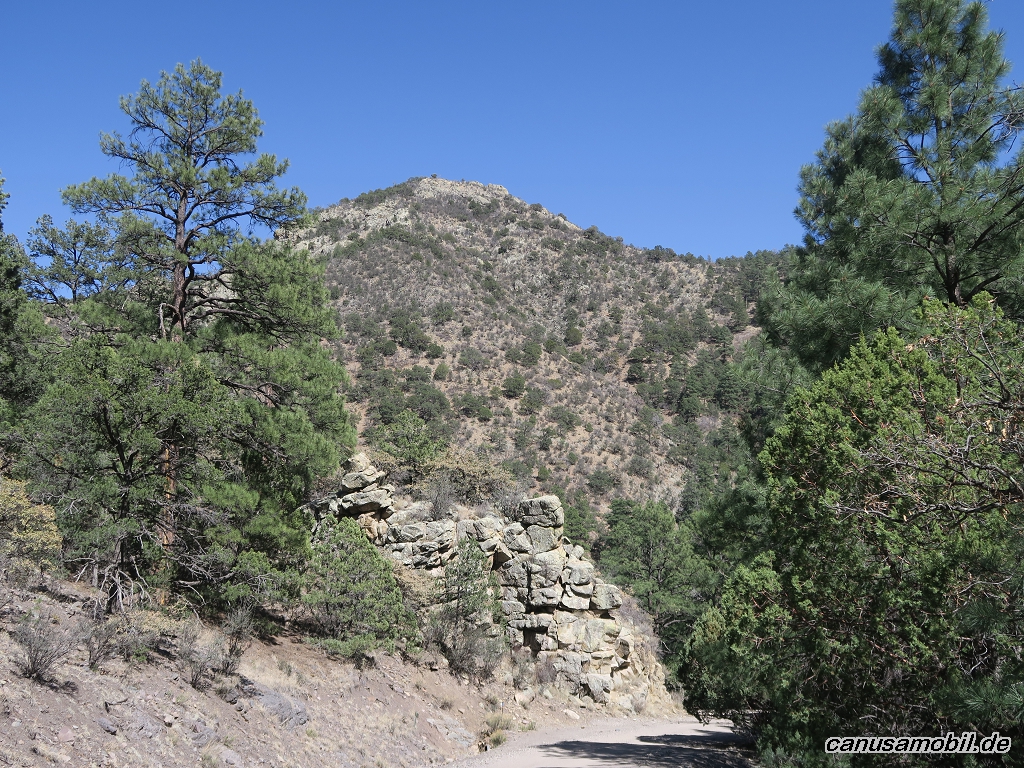
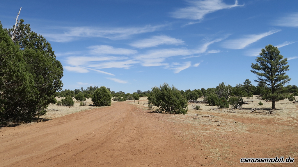
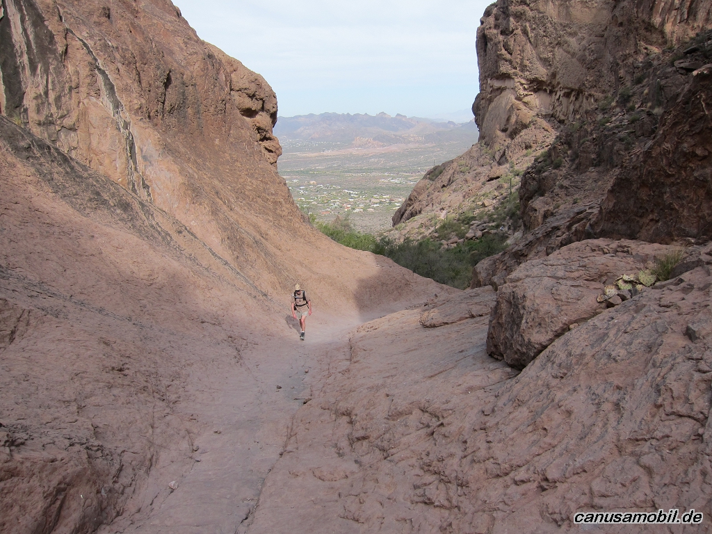
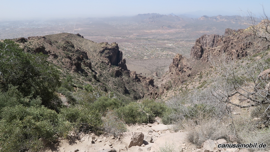
Boulder Canyon Trail 01
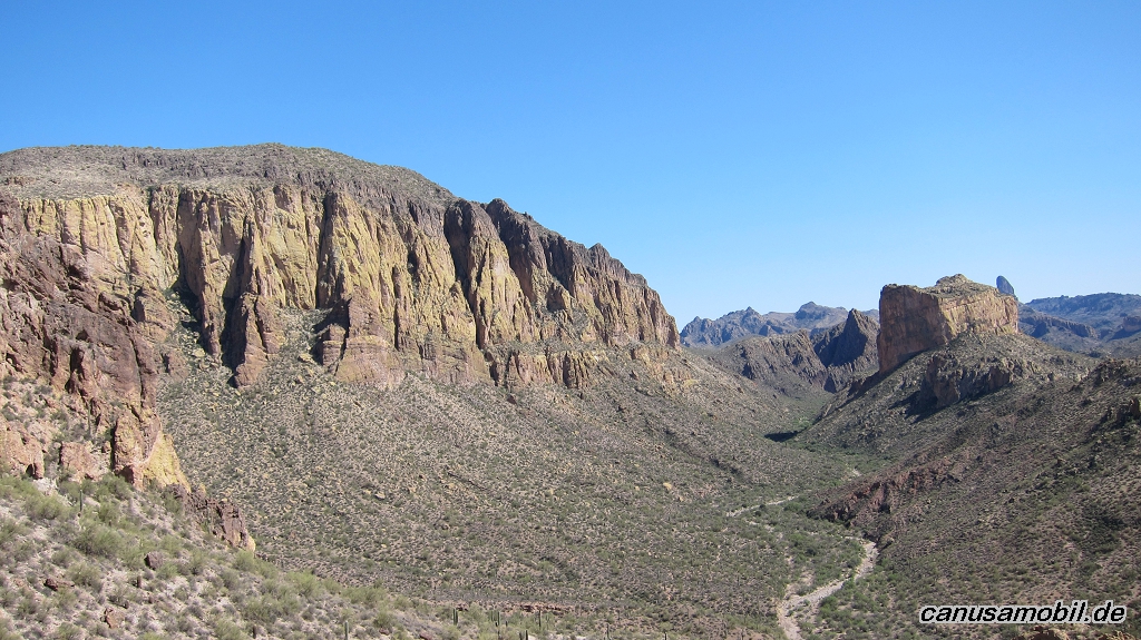
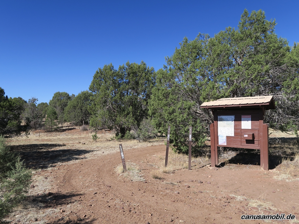
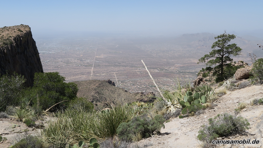
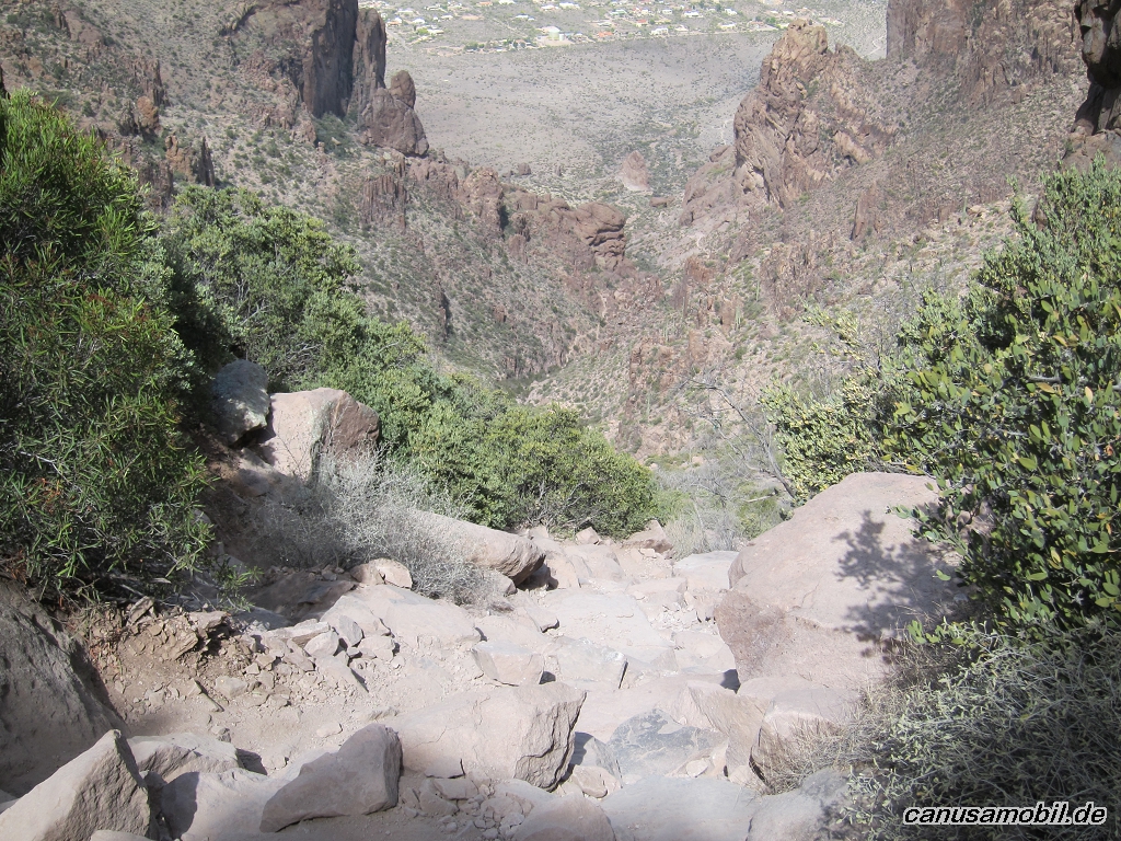
Boulder Canyon Trail 02
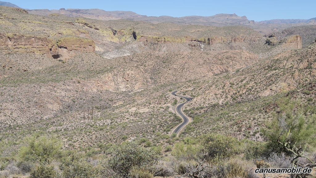
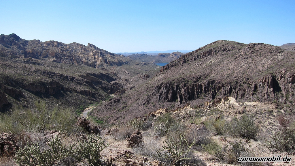
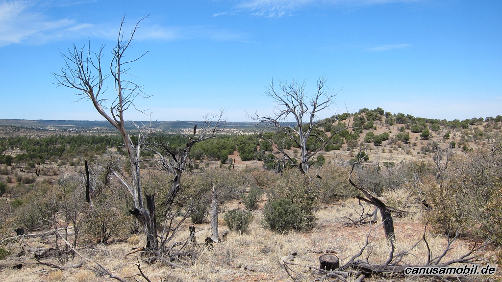
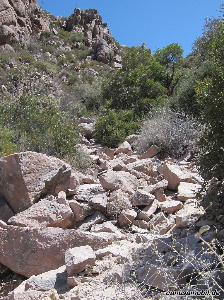
Boulder Canyon Trail 03
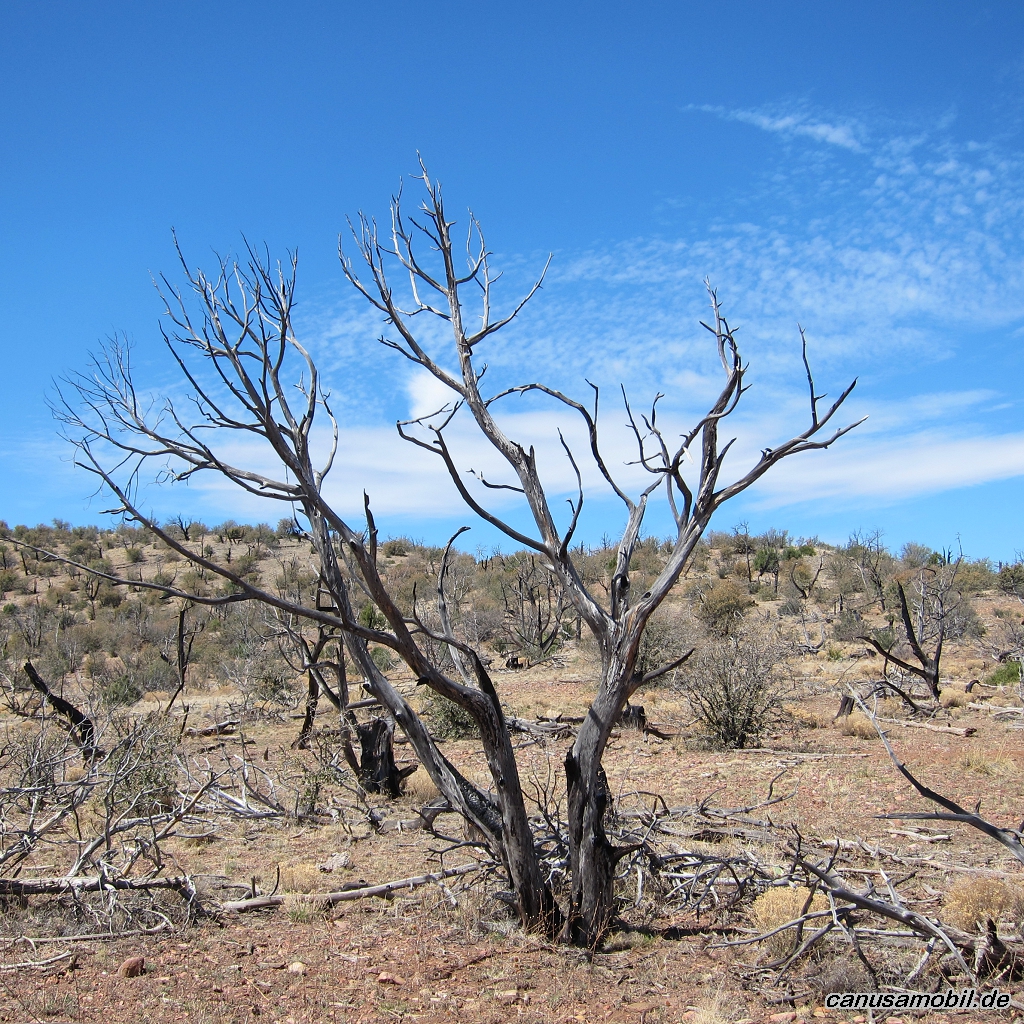
Boulder Canyon Trail 04
Boulder Canyon Trail 05
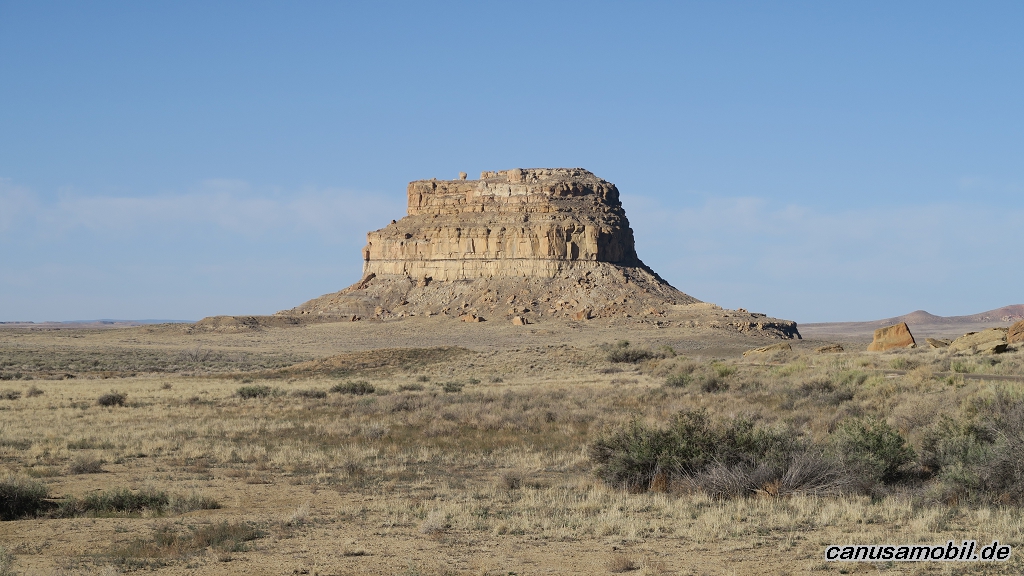
Chaco Canyon 01
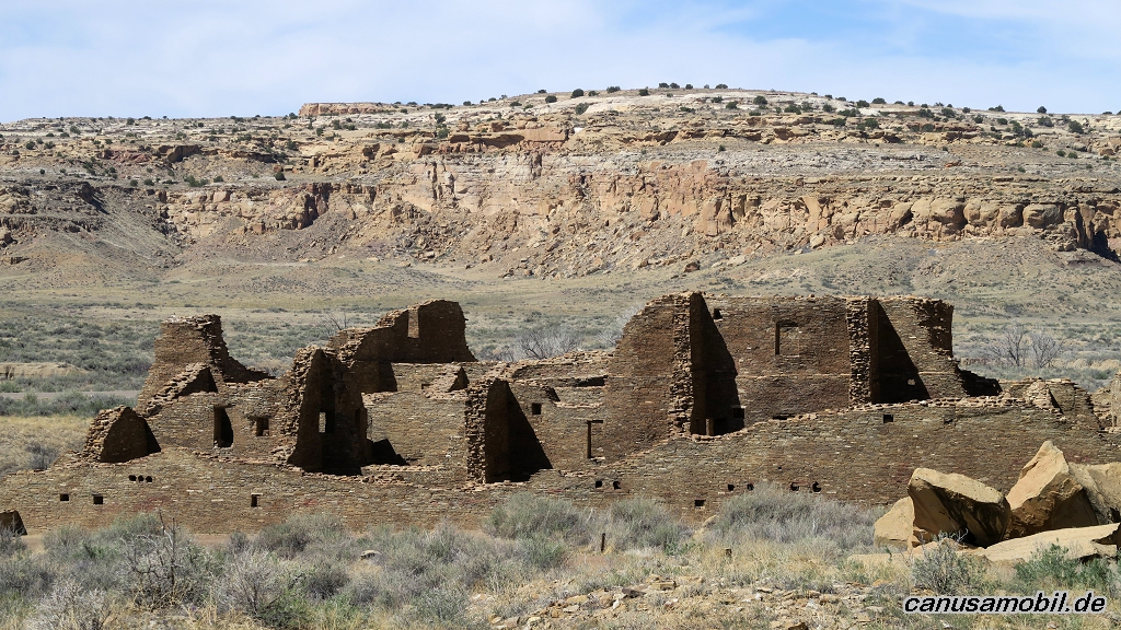
Chaco Canyon 02
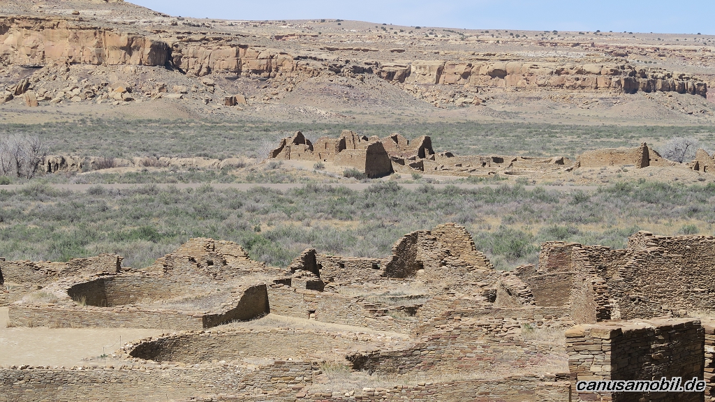
Chaco Canyon 03
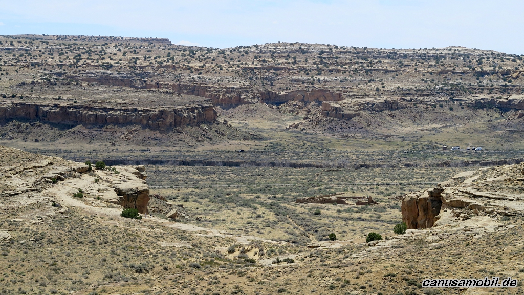
Chaco Canyon 04
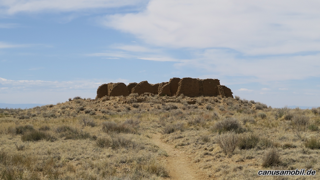
Chaco Canyon 05
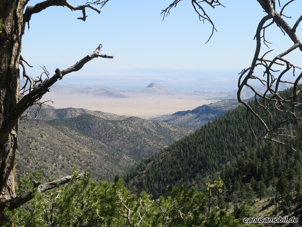
Copper Canyon mit South Baldy Trail 01
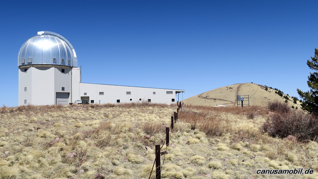
Copper Canyon mit South Baldy Trail 02
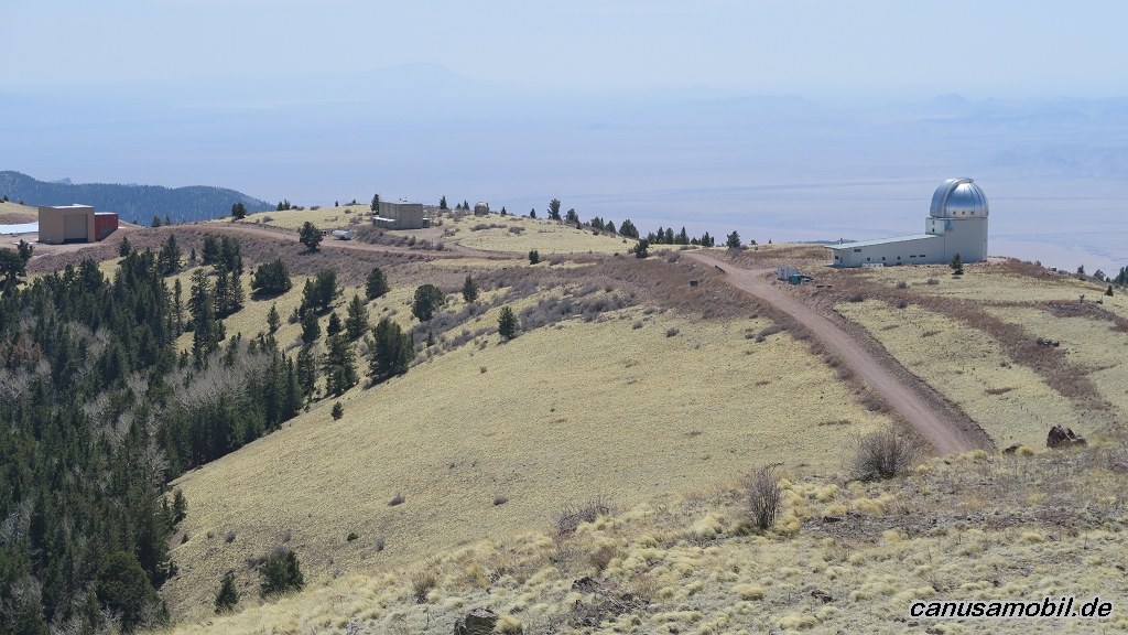
Copper Canyon mit South Baldy Trail 03
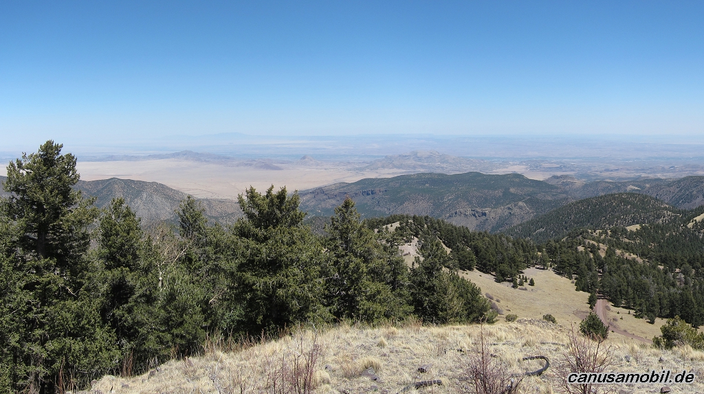
Copper Canyon mit South Baldy Trail 04
Copper Canyon mit South Baldy Trail 05
Ghost of the Coyote Trail 01
Ghost of the Coyote Trail 02
Ghost of the Coyote Trail 03
Ghost of the Coyote Trail 04
Ghost of the Coyote Trail 05
Kelso Dunes Trail 01
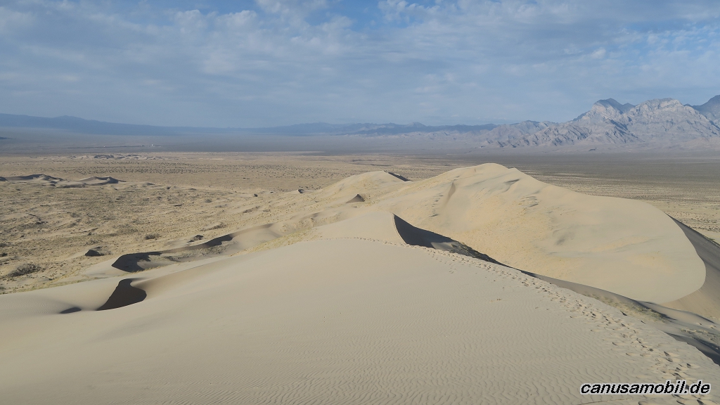
Kelso Dunes Trail 02
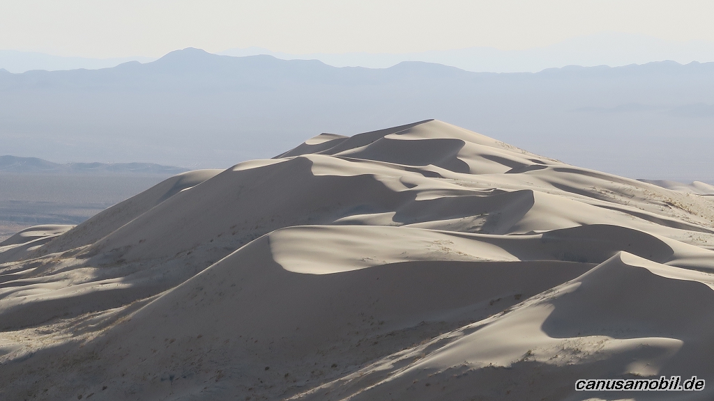
Kelso Dunes Trail 03
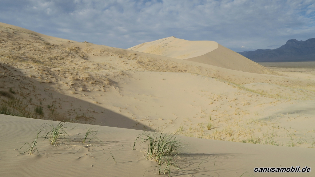
Kelso Dunes Trail 04
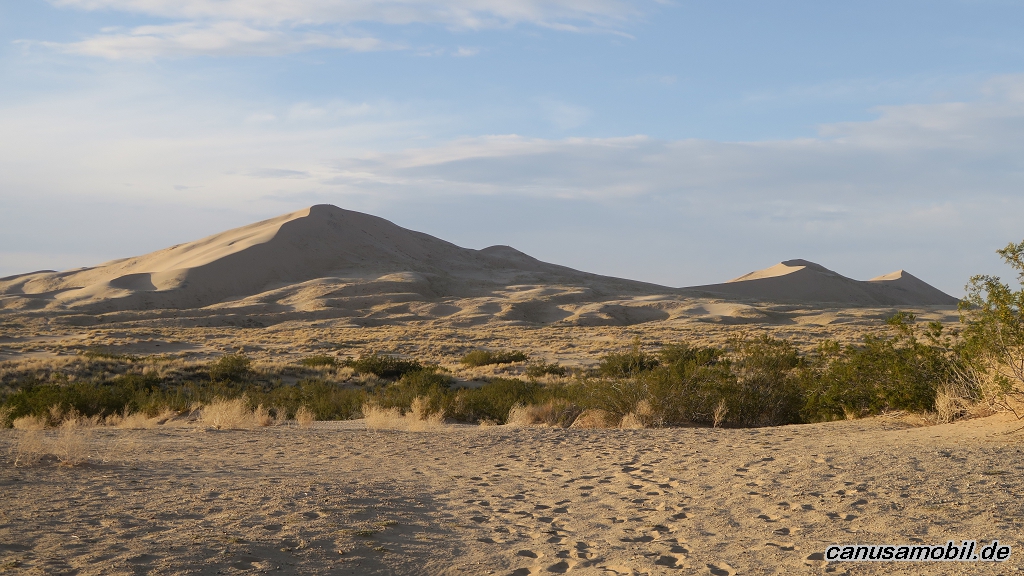
Kelso Dunes Trail 05
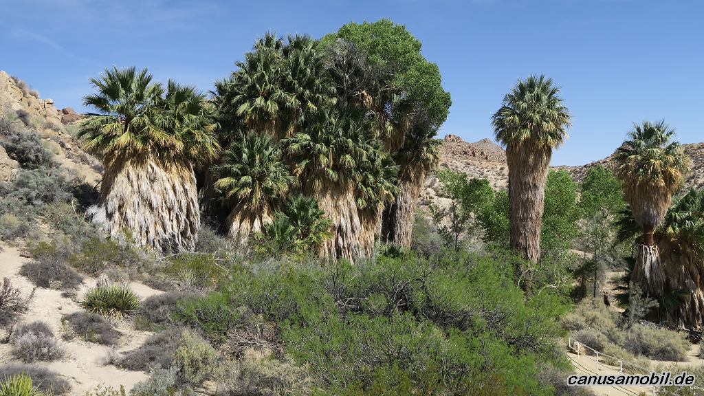
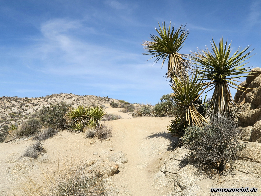
Lost Palms Oasis mit Mastodon Mine Loop Trail 01
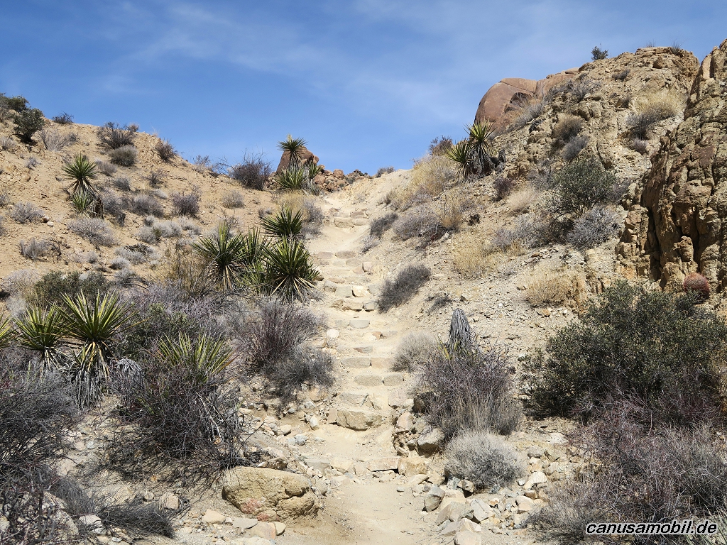
Lost Palms Oasis mit Mastodon Mine Loop Trail 02
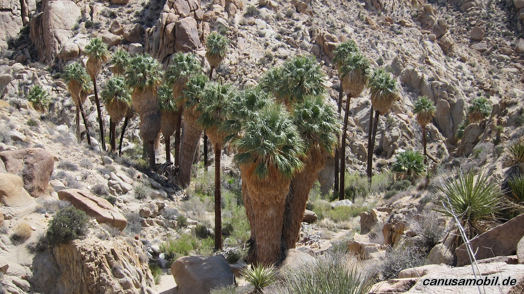
Lost Palms Oasis mit Mastodon Mine Loop Trail 03
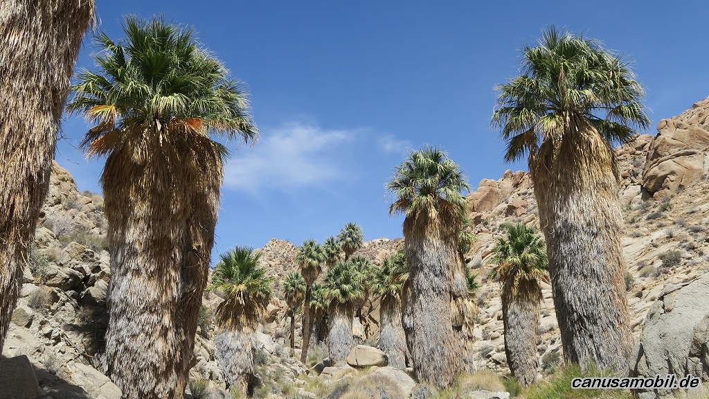
Lost Palms Oasis mit Mastodon Mine Loop Trail 04
Lost Palms Oasis mit Mastodon Mine Loop Trail 05
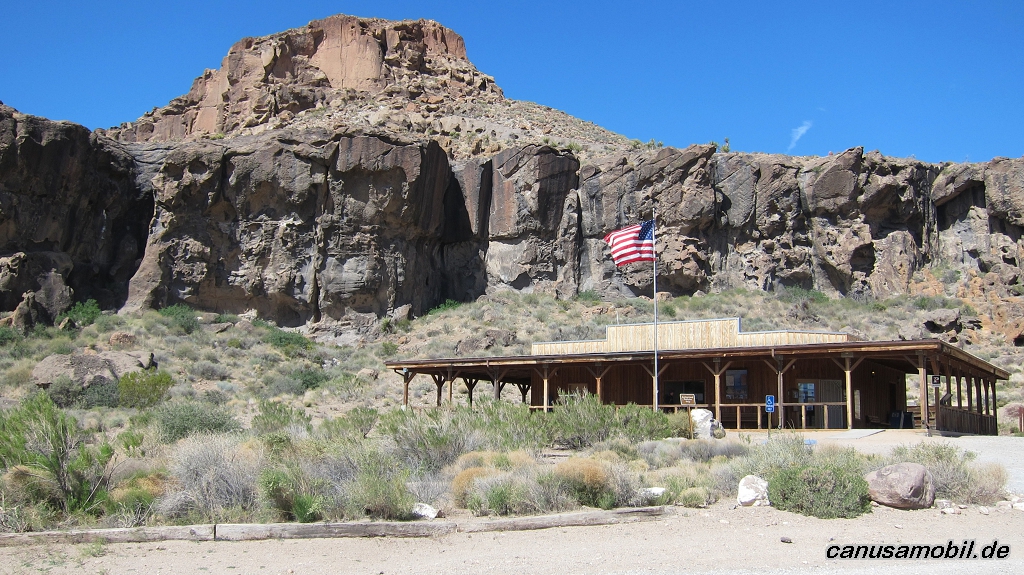
Rings Loop Trail 01
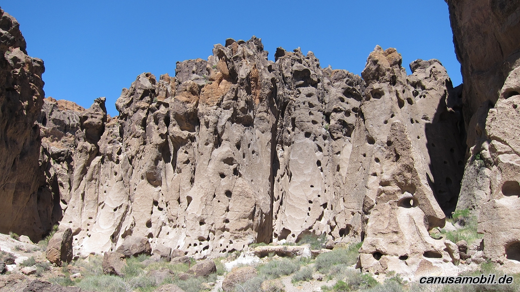
Rings Loop Trail 02
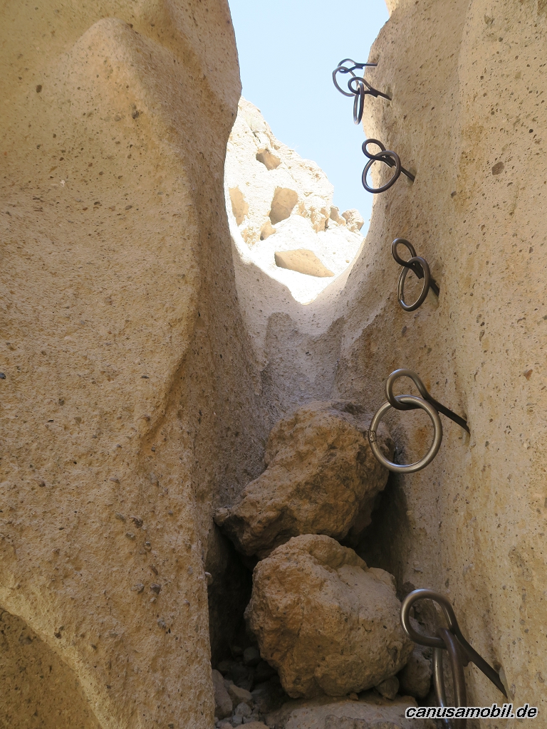
Rings Loop Trail 03
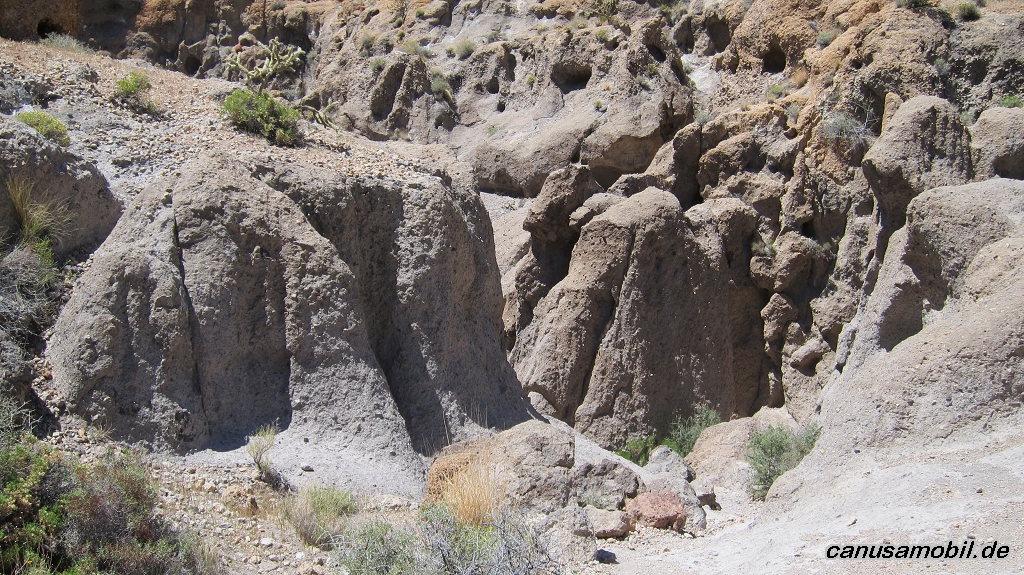
Rings Loop Trail 04
Rings Loop Trail 05
Ryan Mountain Trail 01
Ryan Mountain Trail 02
Ryan Mountain Trail 03
Ryan Mountain Trail 04
Ryan Mountain Trail 05
Siphon Draw Trail 01
Siphon Draw Trail 02
Siphon Draw Trail 03
Siphon Draw Trail 04
Siphon Draw Trail 05