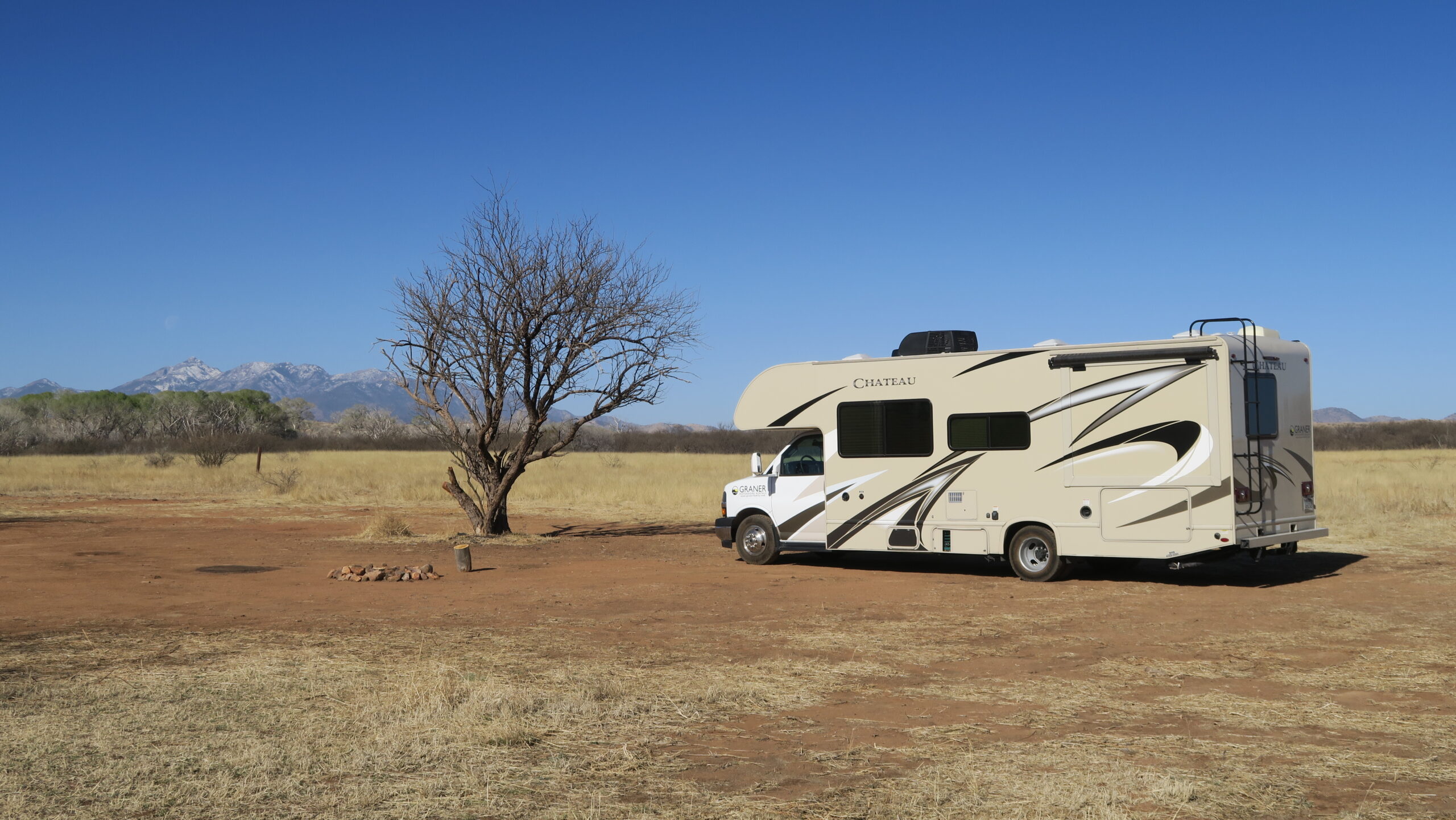
Seiteninhalt
Aneroid Lake, Oregon, USA
Gesamtstrecke: 25.53 km
Maximale Höhe: 2323 m
Minimale Höhe: 1361 m
Gesamtanstieg: 1011 m
Gesamtzeit: 07:52:29
Download file: Aneroid Lake.gpx
Maximale Höhe: 2323 m
Minimale Höhe: 1361 m
Gesamtanstieg: 1011 m
Gesamtzeit: 07:52:29
Cascade Pass mit Sahale Gletscher, Washington, USA
Gesamtstrecke: 16.47 km
Maximale Höhe: 2018 m
Minimale Höhe: 1116 m
Gesamtanstieg: 983 m
Gesamtzeit: 06:19:34
Download file: Cascade Pass mit Sahale Gletscher.gpx
Maximale Höhe: 2018 m
Minimale Höhe: 1116 m
Gesamtanstieg: 983 m
Gesamtzeit: 06:19:34
Gobblers Knob, Washington, USA
Gesamtstrecke: 19.82 km
Maximale Höhe: 1666 m
Minimale Höhe: 861 m
Gesamtanstieg: 864 m
Gesamtzeit: 05:23:42
Download file: Gobblers Knob.gpx
Maximale Höhe: 1666 m
Minimale Höhe: 861 m
Gesamtanstieg: 864 m
Gesamtzeit: 05:23:42
Ice Lake, Oregon, USA
Gesamtstrecke: 23.34 km
Maximale Höhe: 2119 m
Minimale Höhe: 1362 m
Gesamtanstieg: 908 m
Gesamtzeit: 07:12:08
Download file: Ice Lake.gpx
Maximale Höhe: 2119 m
Minimale Höhe: 1362 m
Gesamtanstieg: 908 m
Gesamtzeit: 07:12:08
Reflection Lake mit Pinnacle Peak, Washington, USA
Gesamtstrecke: 15.05 km
Maximale Höhe: 1806 m
Minimale Höhe: 1351 m
Gesamtanstieg: 971 m
Gesamtzeit: 05:44:51
Download file: Reflection Lake mit Pinnacle Peak.gpx
Maximale Höhe: 1806 m
Minimale Höhe: 1351 m
Gesamtanstieg: 971 m
Gesamtzeit: 05:44:51
Stanton Lake, Montana, USA
Gesamtstrecke: 19.04 km
Maximale Höhe: 2069 m
Minimale Höhe: 1077 m
Gesamtanstieg: 1198 m
Gesamtzeit: 06:15:40
Download file: Stanton Lake.gpx
Maximale Höhe: 2069 m
Minimale Höhe: 1077 m
Gesamtanstieg: 1198 m
Gesamtzeit: 06:15:40
Strawberry Mountain, Oregon, USA
Gesamtstrecke: 21.33 km
Maximale Höhe: 2696 m
Minimale Höhe: 1776 m
Gesamtanstieg: 1102 m
Gesamtzeit: 07:34:30
Download file: Strawberry Mountain.gpx
Maximale Höhe: 2696 m
Minimale Höhe: 1776 m
Gesamtanstieg: 1102 m
Gesamtzeit: 07:34:30
Thornton Lakes, Washington, USA
Gesamtstrecke: 15.03 km
Maximale Höhe: 1533 m
Minimale Höhe: 765 m
Gesamtanstieg: 869 m
Gesamtzeit: 05:51:54
Download file: Thornton Lakes.gpx
Maximale Höhe: 1533 m
Minimale Höhe: 765 m
Gesamtanstieg: 869 m
Gesamtzeit: 05:51:54
Fotoalbum
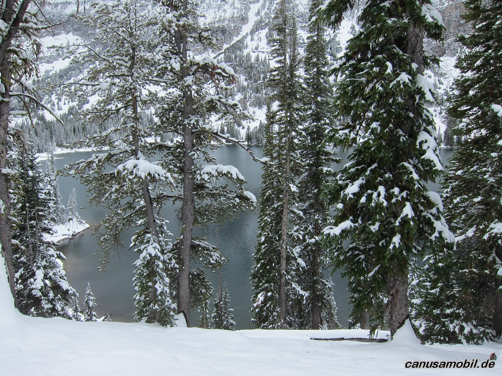
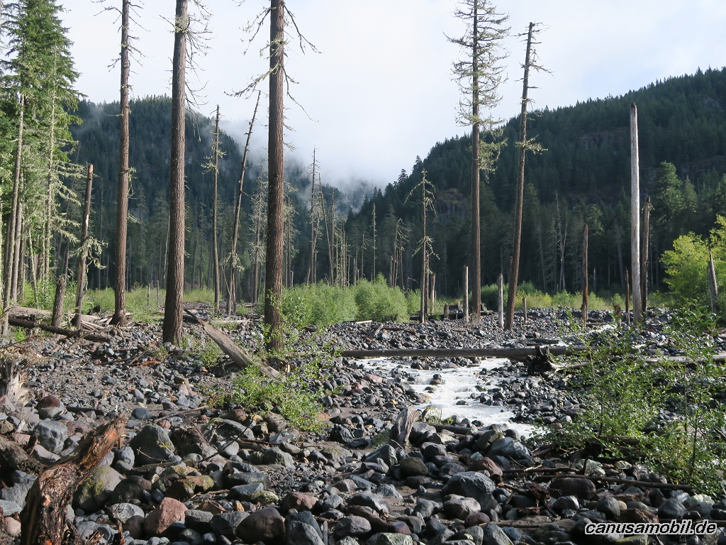
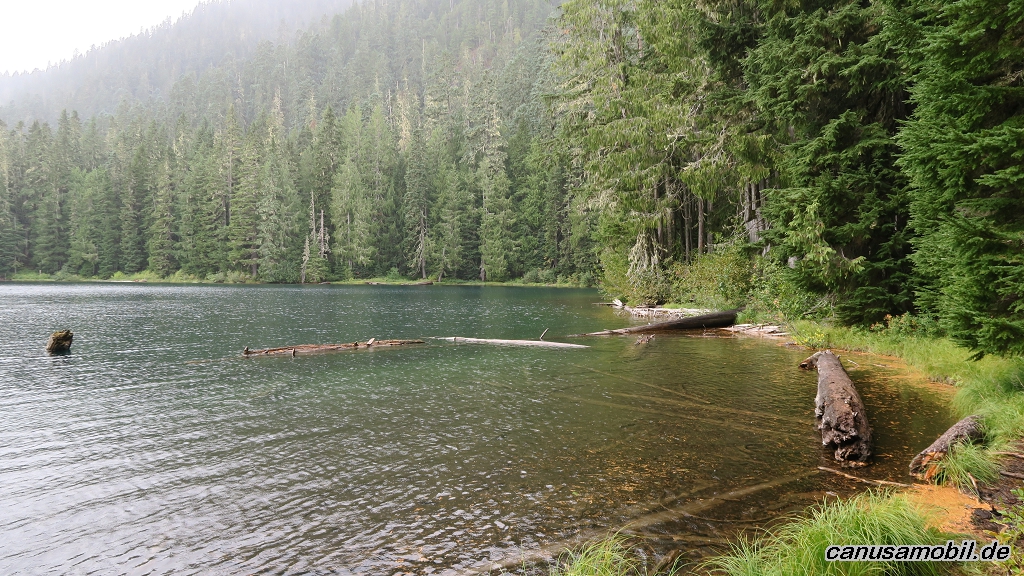
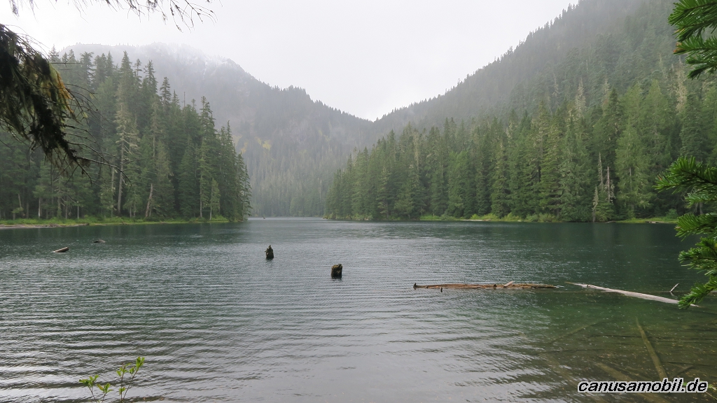
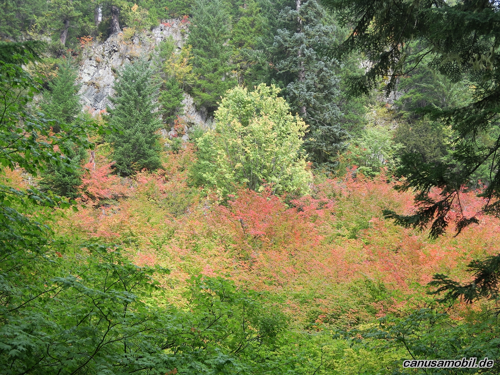
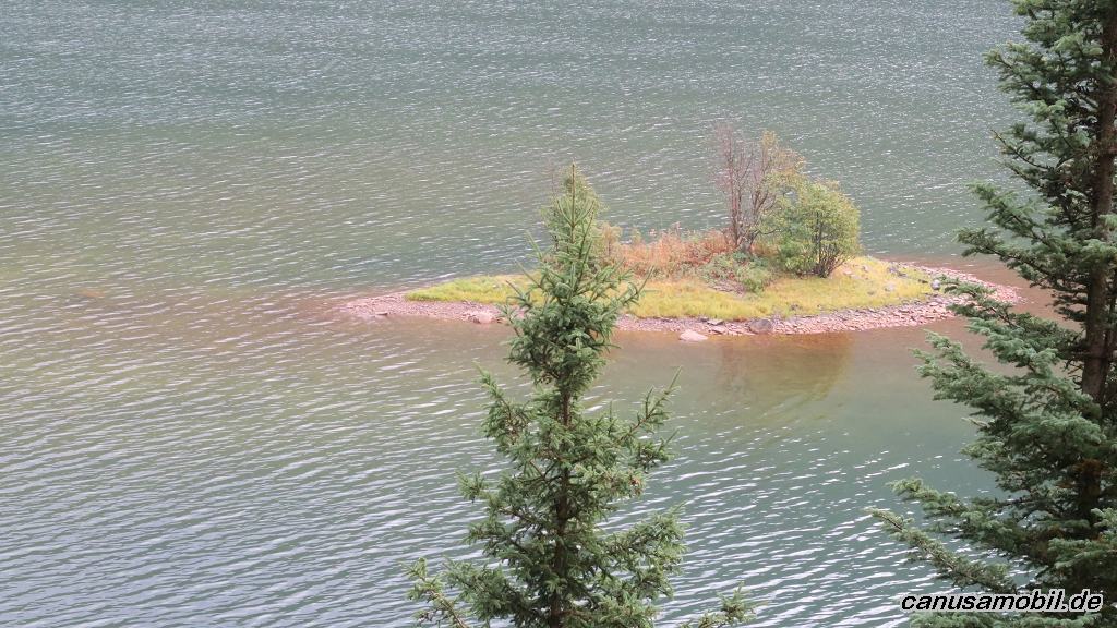
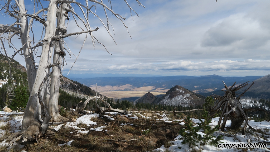
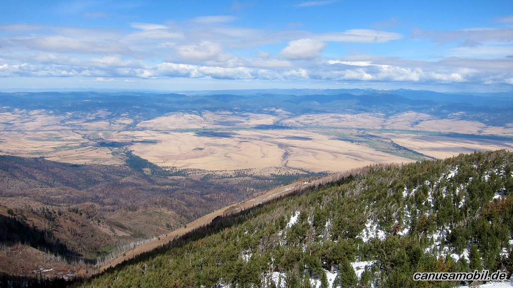
Aneroid Lake 01
Aneroid Lake 02
Aneroid Lake 03
Aneroid Lake 04
Aneroid Lake 05
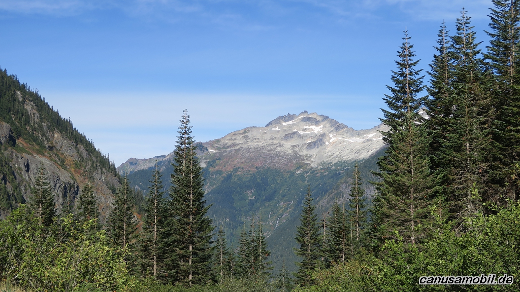
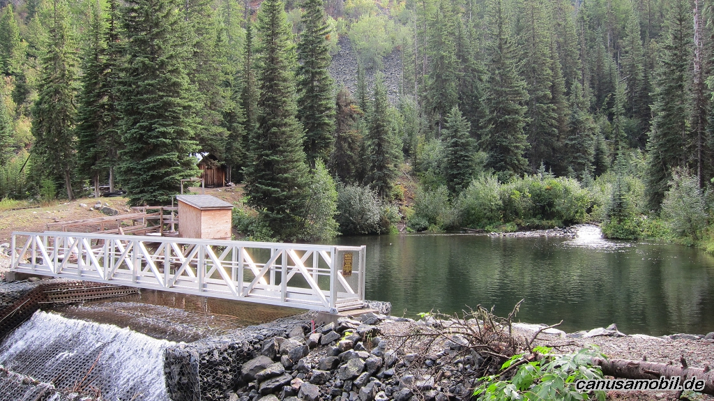
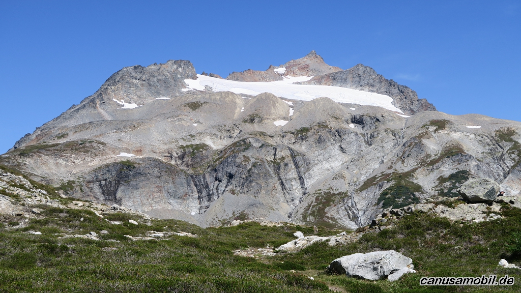
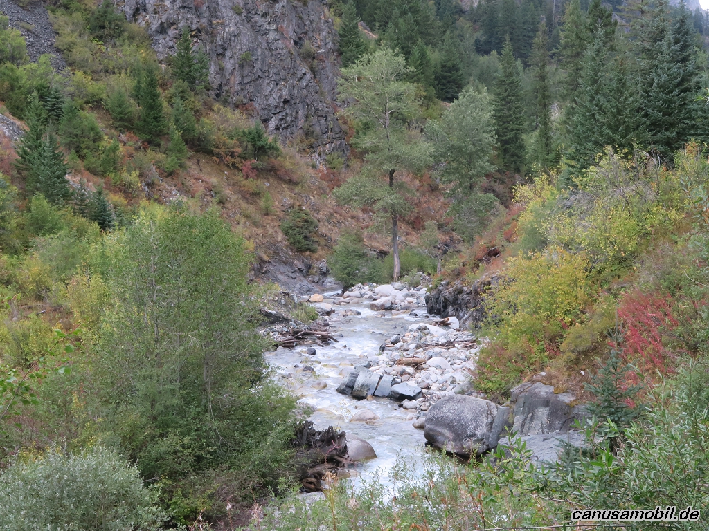
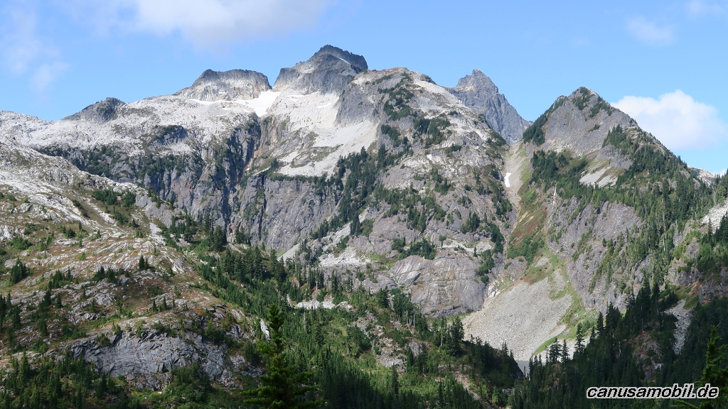
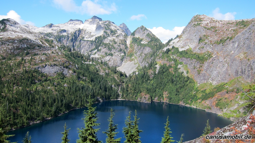
Cascade Pass mit Sahale Gletscher 01
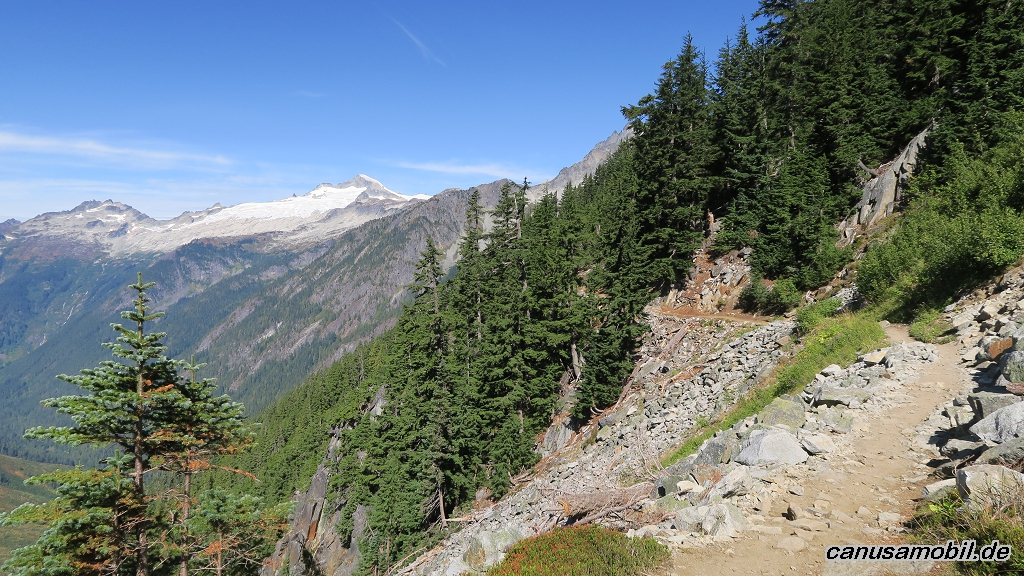
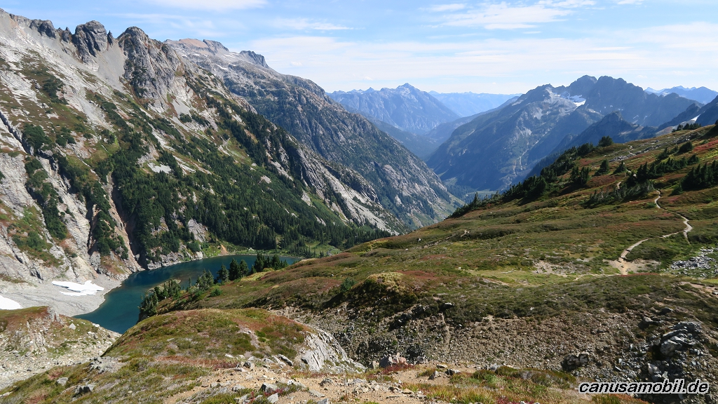
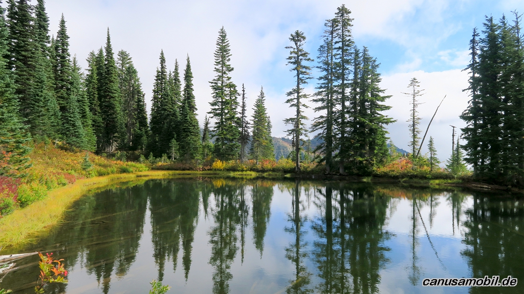
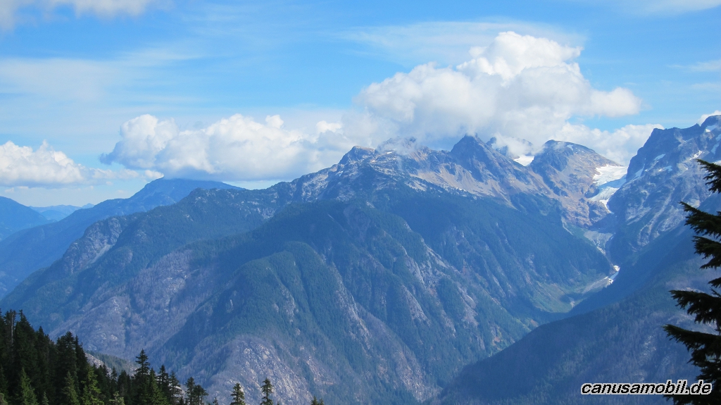
Cascade Pass mit Sahale Gletscher 02
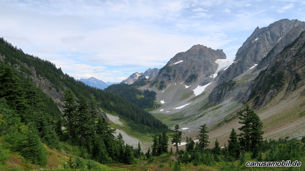
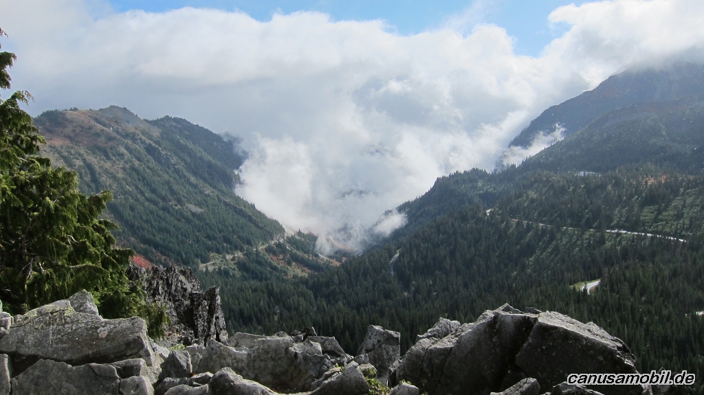
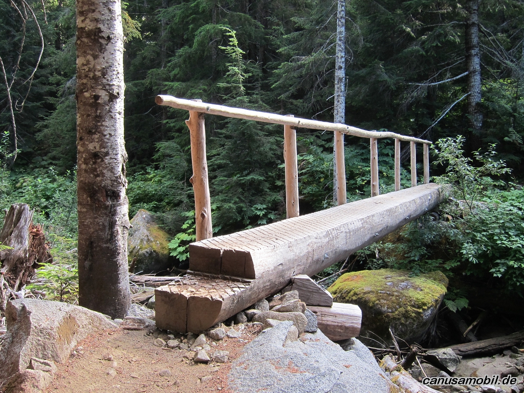
Cascade Pass mit Sahale Gletscher 03
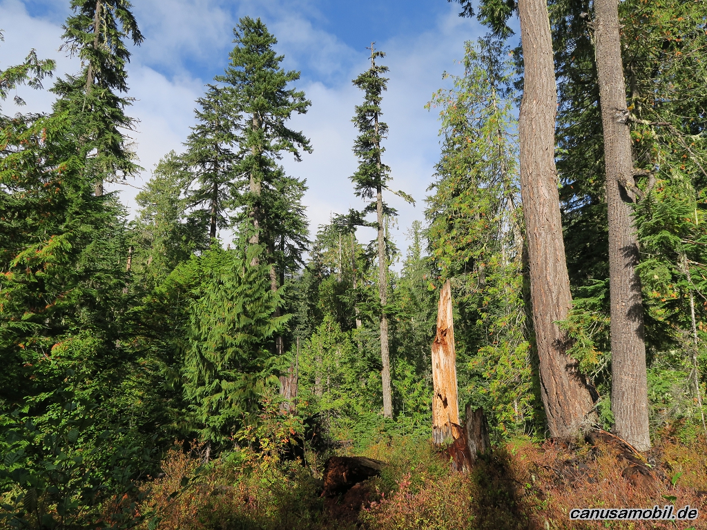
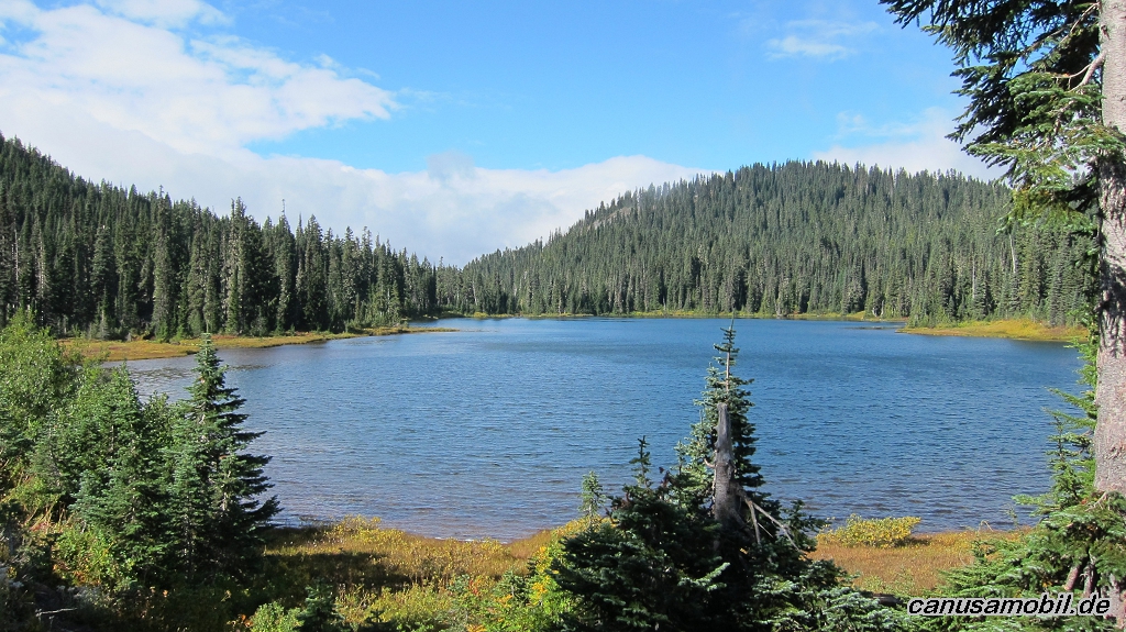
Cascade Pass mit Sahale Gletscher 04
Cascade Pass mit Sahale Gletscher 05
Gobblers Knob 01
Gobblers Knob 02
Gobblers Knob 03
Gobblers Knob 04
Gobblers Knob 05
Ice Lake 01
Ice Lake 02
Ice Lake 03
Ice Lake 04
Ice Lake 05
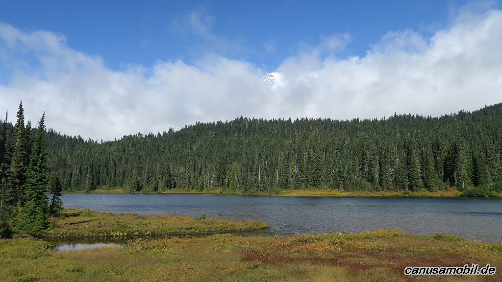
Reflection Lake mit Pinnacle Peak 01
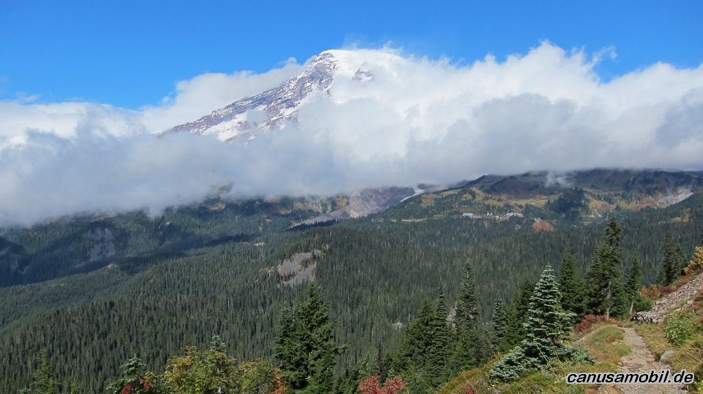
Reflection Lake mit Pinnacle Peak 02
Reflection Lake mit Pinnacle Peak 03
Reflection Lake mit Pinnacle Peak 04
Reflection Lake mit Pinnacle Peak 05
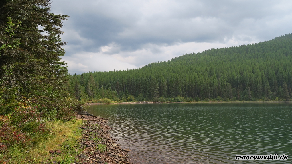
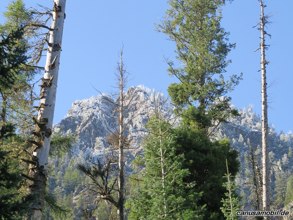
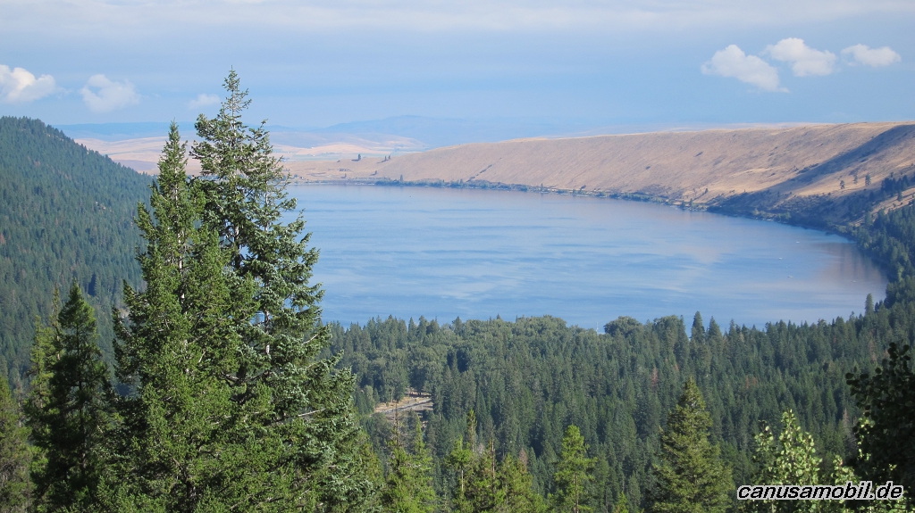
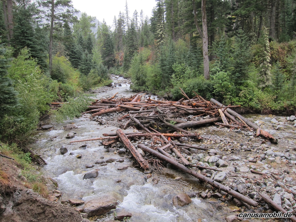
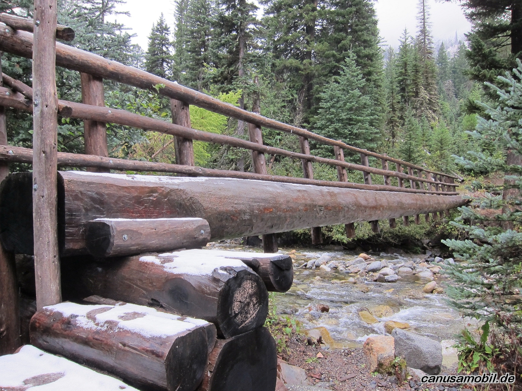
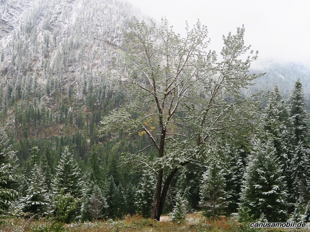
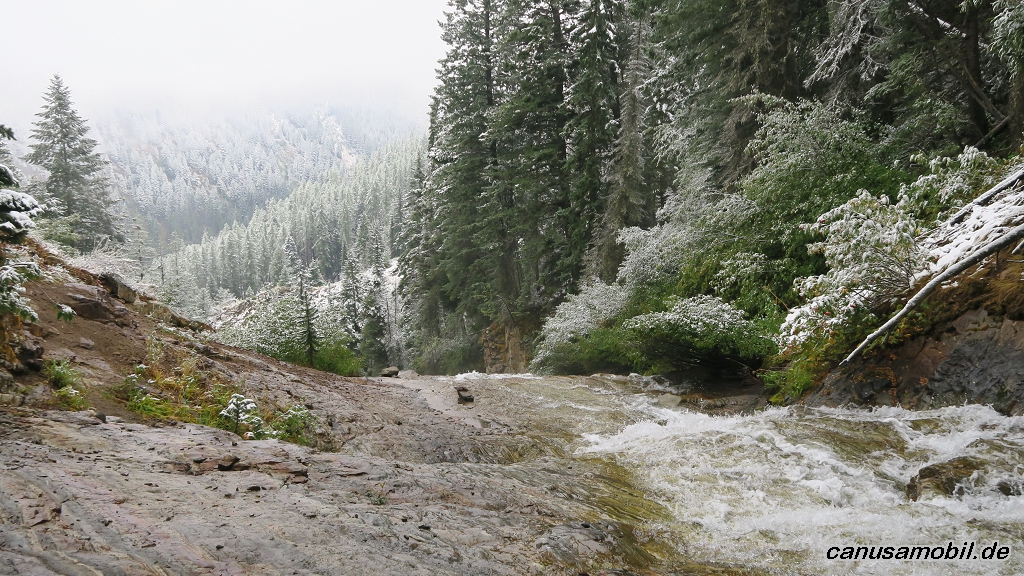
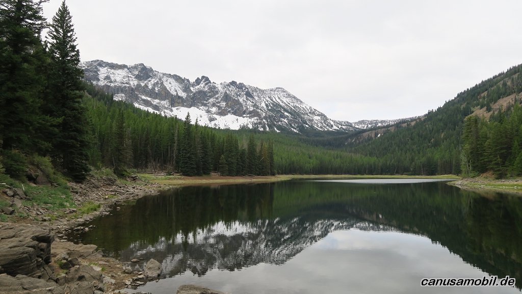
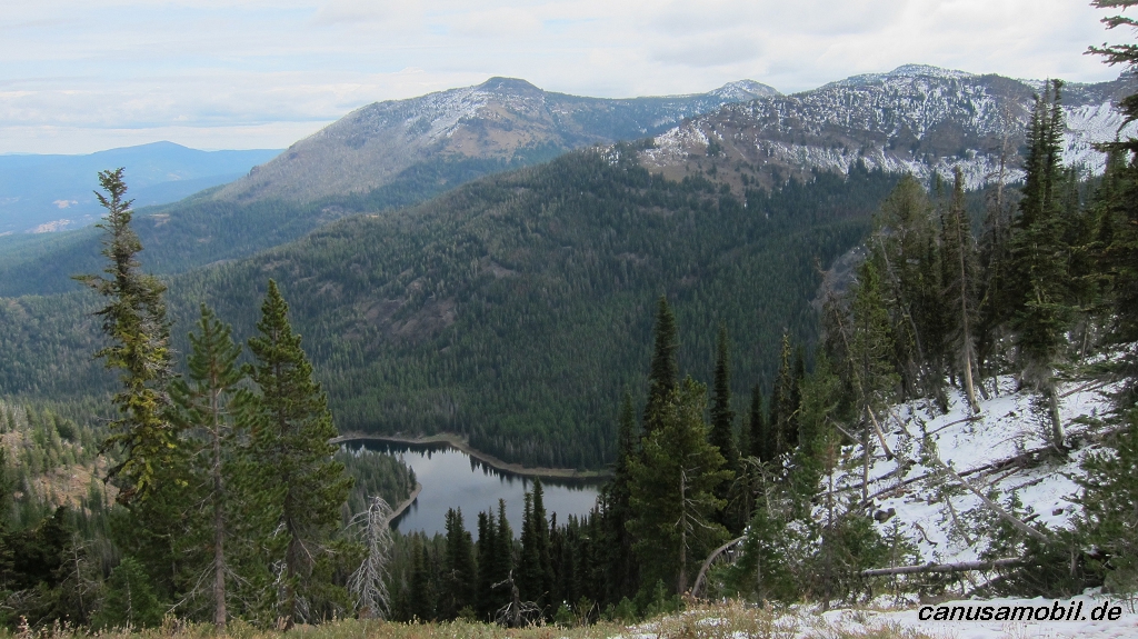
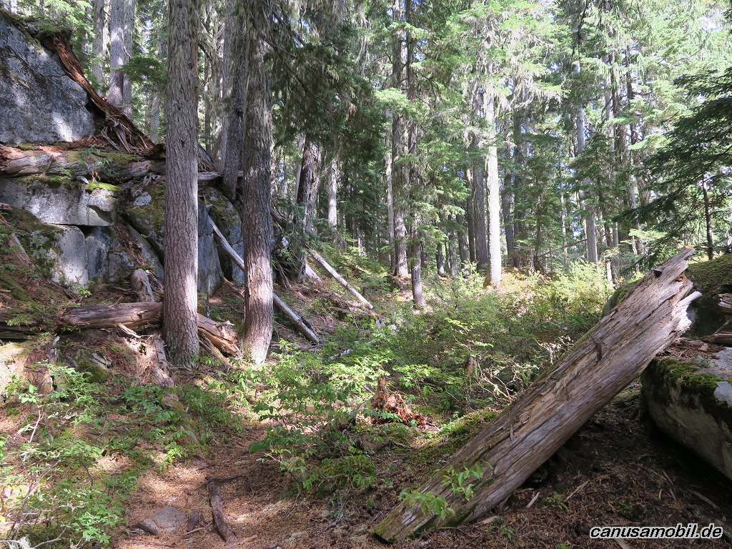
Stanton Lake 01
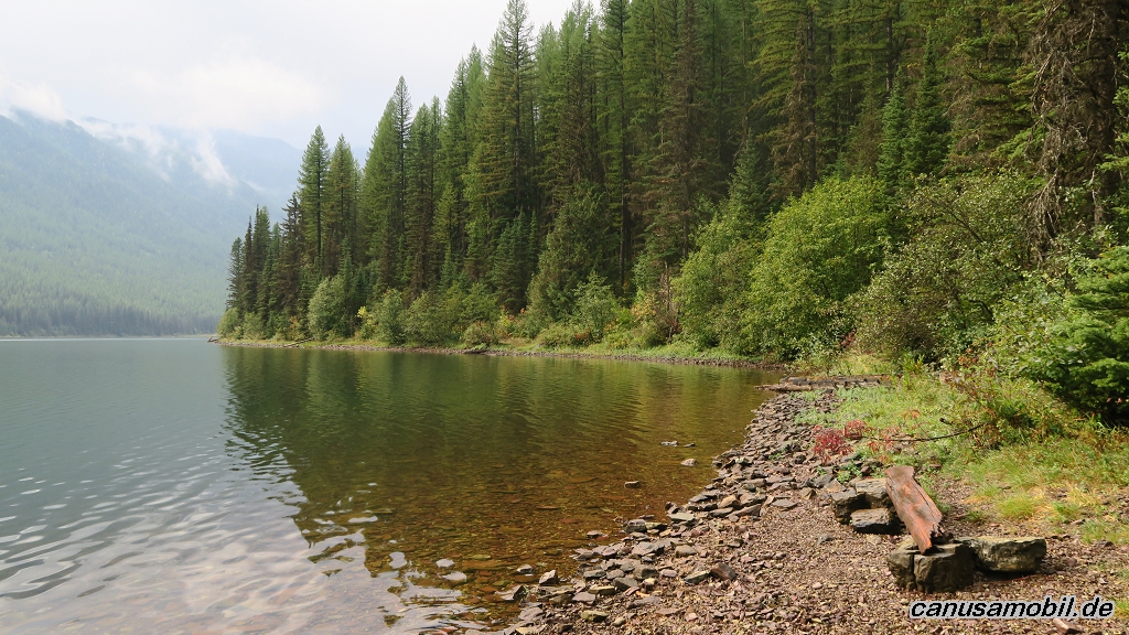
Stanton Lake 02
Stanton Lake 03
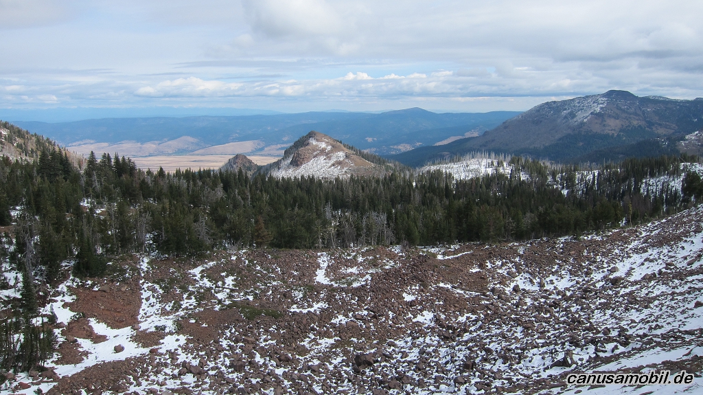
Strawberry Mountain 01
Strawberry Mountain 02
Strawberry Mountain 03
Strawberry Mountain 04
Strawberry Mountain 05
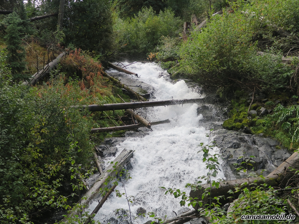
Thornton Lakes 01
Thornton Lakes 02
Thornton Lakes 03
Thornton Lakes 04
Thornton Lakes 05