Seiteninhalt
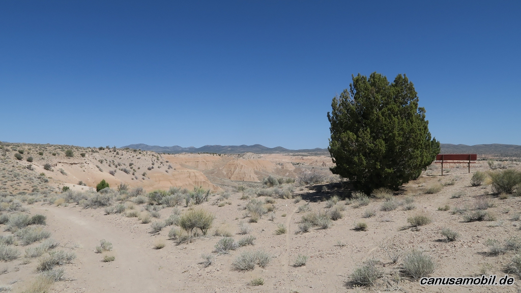
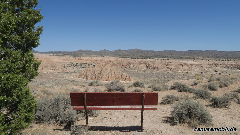
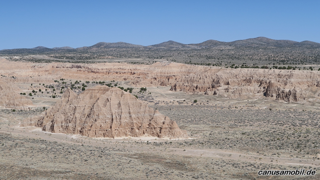
Cathedral Gorge Loop, Nevada, USA
Gesamtstrecke: 10.89 km
Maximale Höhe: 1513 m
Minimale Höhe: 1439 m
Gesamtanstieg: 159 m
Gesamtzeit: 02:46:30
Download file: Cathedral-Gorge-Loop.gpxMaximale Höhe: 1513 m
Minimale Höhe: 1439 m
Gesamtanstieg: 159 m
Gesamtzeit: 02:46:30
Cave Creek Boundary Trail, Arizona, USA
Gesamtstrecke: 18.23 km
Maximale Höhe: 793 m
Minimale Höhe: 595 m
Gesamtanstieg: 558 m
Gesamtzeit: 04:45:49
Download file: Cave-Creek-Boundary-Trail.gpxMaximale Höhe: 793 m
Minimale Höhe: 595 m
Gesamtanstieg: 558 m
Gesamtzeit: 04:45:49
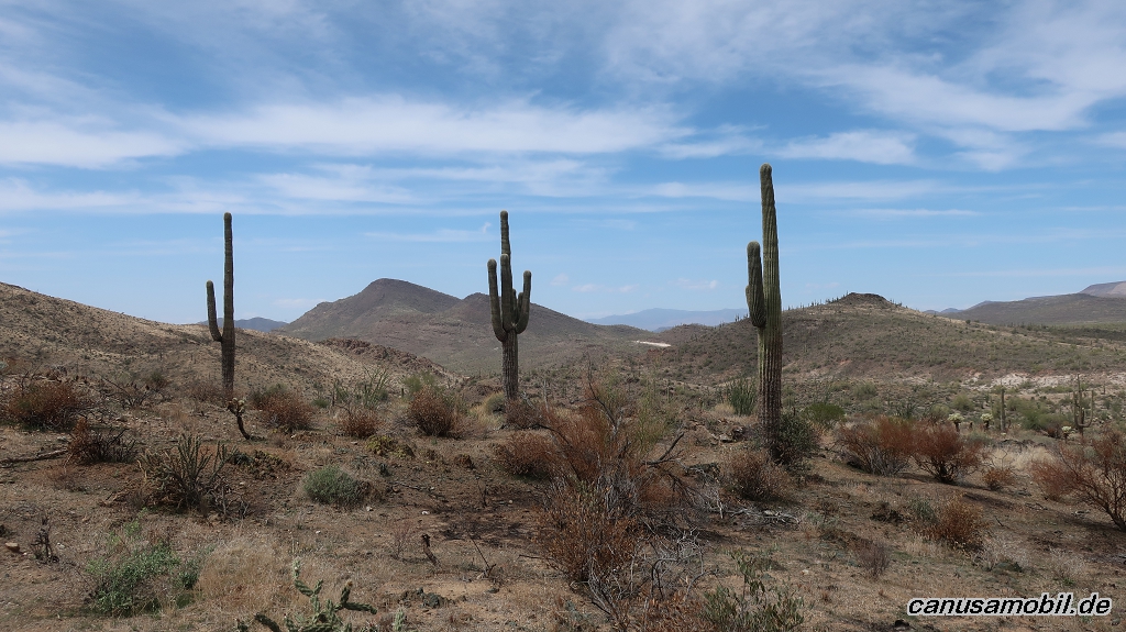
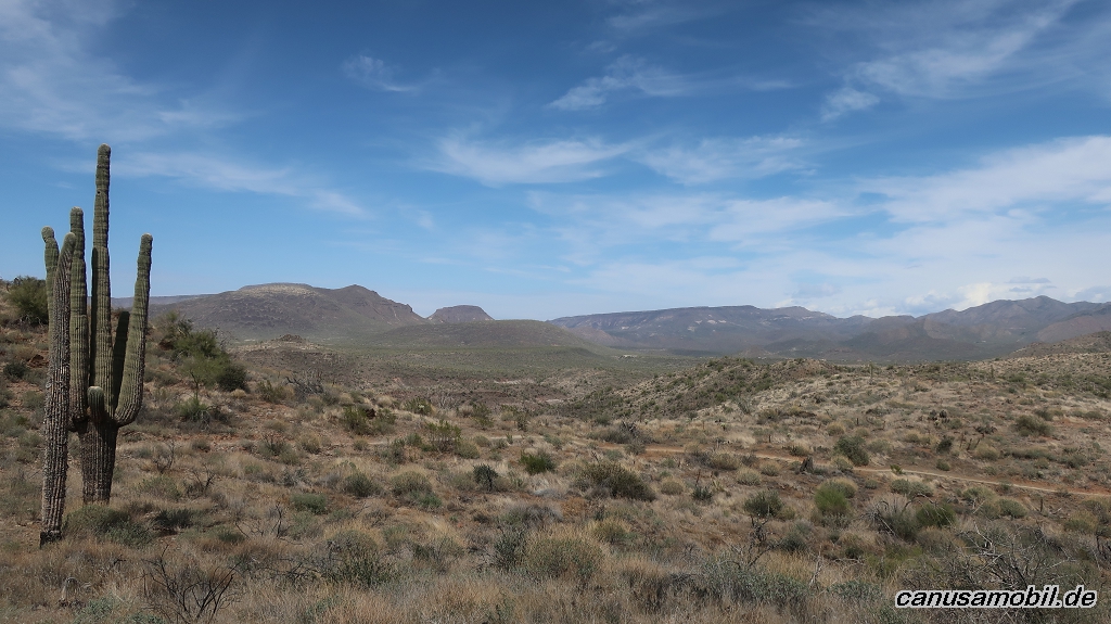
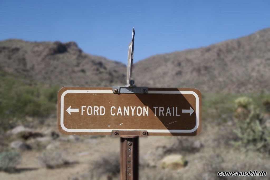
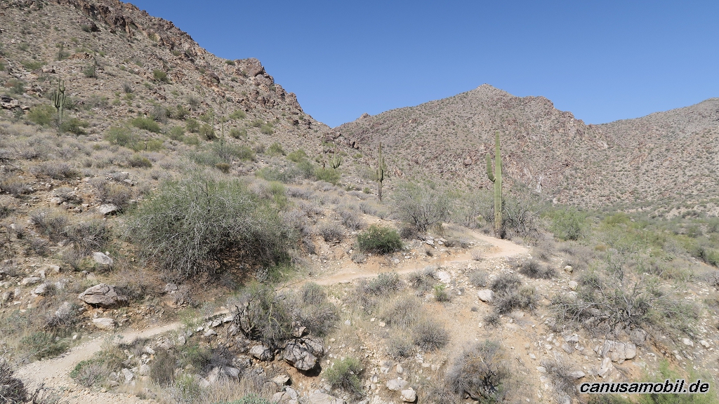
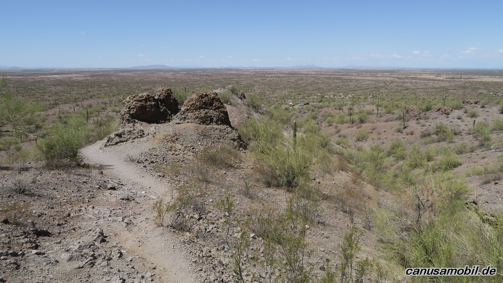
Ford Canyon Trail, Arizona, USA
Gesamtstrecke: 19.88 km
Maximale Höhe: 871 m
Minimale Höhe: 459 m
Gesamtanstieg: 638 m
Gesamtzeit: 05:41:54
Download file: Ford-Canyon-Trail.gpxMaximale Höhe: 871 m
Minimale Höhe: 459 m
Gesamtanstieg: 638 m
Gesamtzeit: 05:41:54
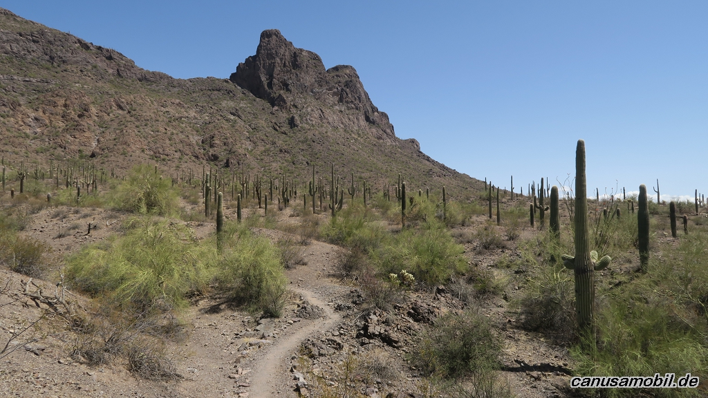
Hunter Trail mit Sunset Trail, Arizona, USA
Gesamtstrecke: 9.8 km
Maximale Höhe: 889 m
Minimale Höhe: 555 m
Gesamtanstieg: 526 m
Gesamtzeit: 03:26:51
Download file: Hunter-Trail-mit-Sunset-Trail.gpxMaximale Höhe: 889 m
Minimale Höhe: 555 m
Gesamtanstieg: 526 m
Gesamtzeit: 03:26:51
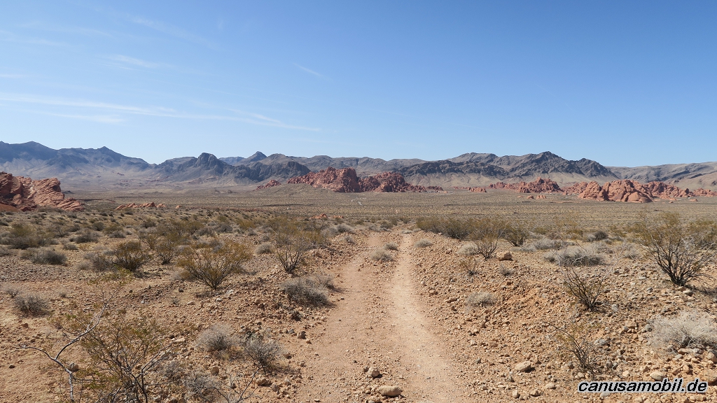
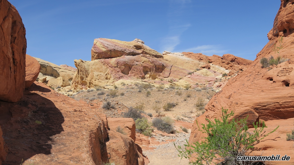
Prospect Trail mit Fire Wave, Arizona, USA
Gesamtstrecke: 18.48 km
Maximale Höhe: 754 m
Minimale Höhe: 573 m
Gesamtanstieg: 460 m
Gesamtzeit: 06:03:37
Download file: Prospect-Trail.gpxMaximale Höhe: 754 m
Minimale Höhe: 573 m
Gesamtanstieg: 460 m
Gesamtzeit: 06:03:37
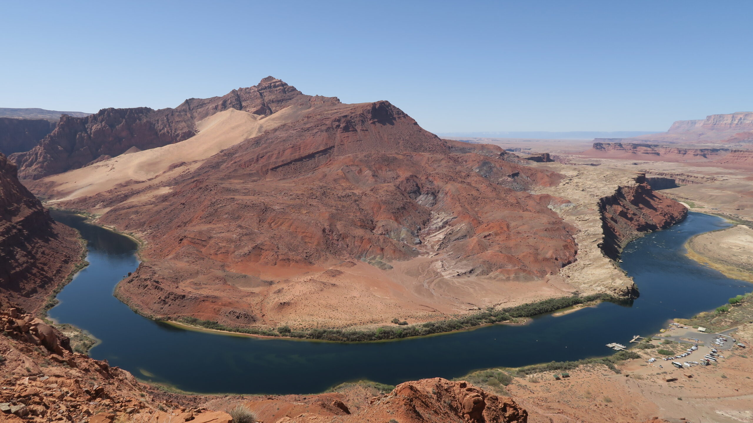
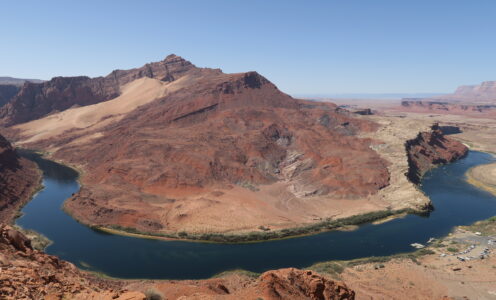
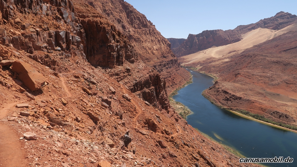
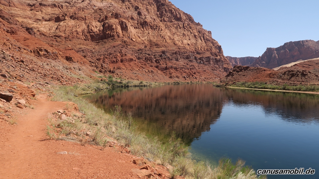
Spencer Trail, Arizona, USA
Gesamtstrecke: 7.78 km
Maximale Höhe: 1406 m
Minimale Höhe: 949 m
Gesamtanstieg: 578 m
Gesamtzeit: 04:05:36
Download file: Spencer-Trail.gpxMaximale Höhe: 1406 m
Minimale Höhe: 949 m
Gesamtanstieg: 578 m
Gesamtzeit: 04:05:36
Fotoalbum
Cathedral Gorge Loop 01
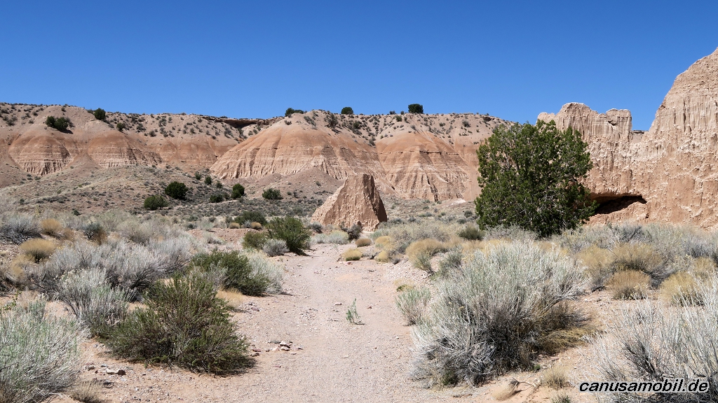
Cathedral Gorge Loop 02
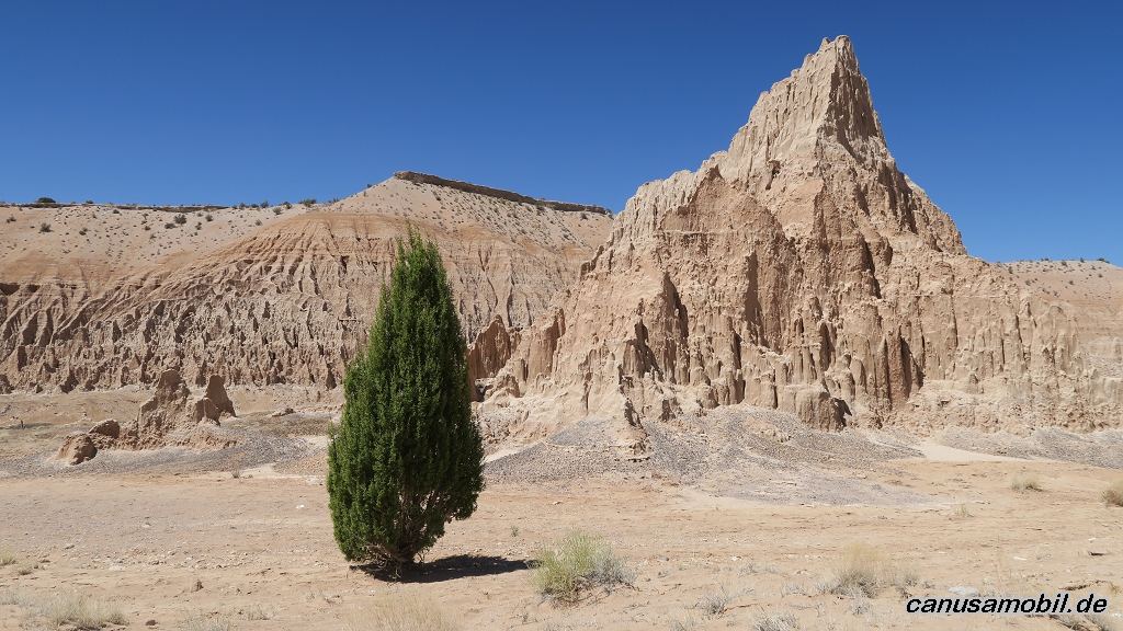
Cathedral Gorge Loop 03
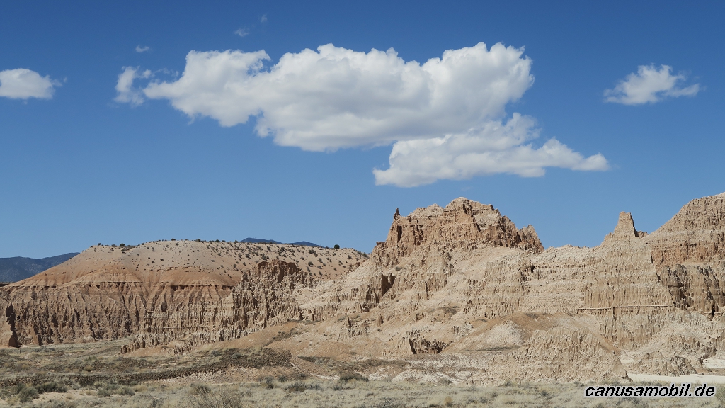
Cathedral Gorge Loop 04
Cathedral Gorge Loop 05
Cathedral Gorge Loop 06
Cave Creek Boundary Trail 01
Cave Creek Boundary Trail 02
Cave Creek Boundary Trail 03
Cave Creek Boundary Trail 04
Cave Creek Boundary Trail 05
Cave Creek Boundary Trail 06
Ford Canyon Trail 01
Ford Canyon Trail 02
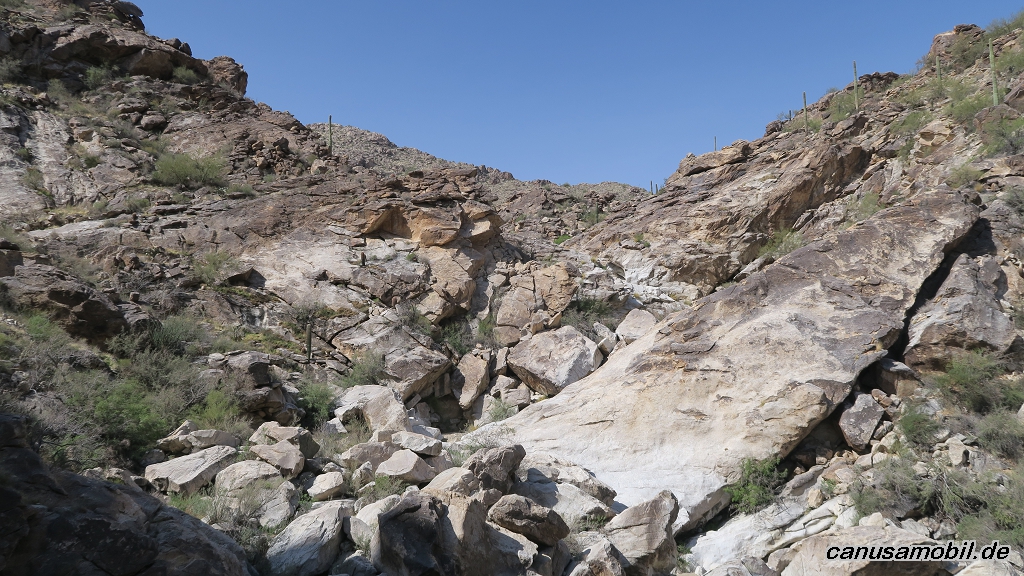
Ford Canyon Trail 03
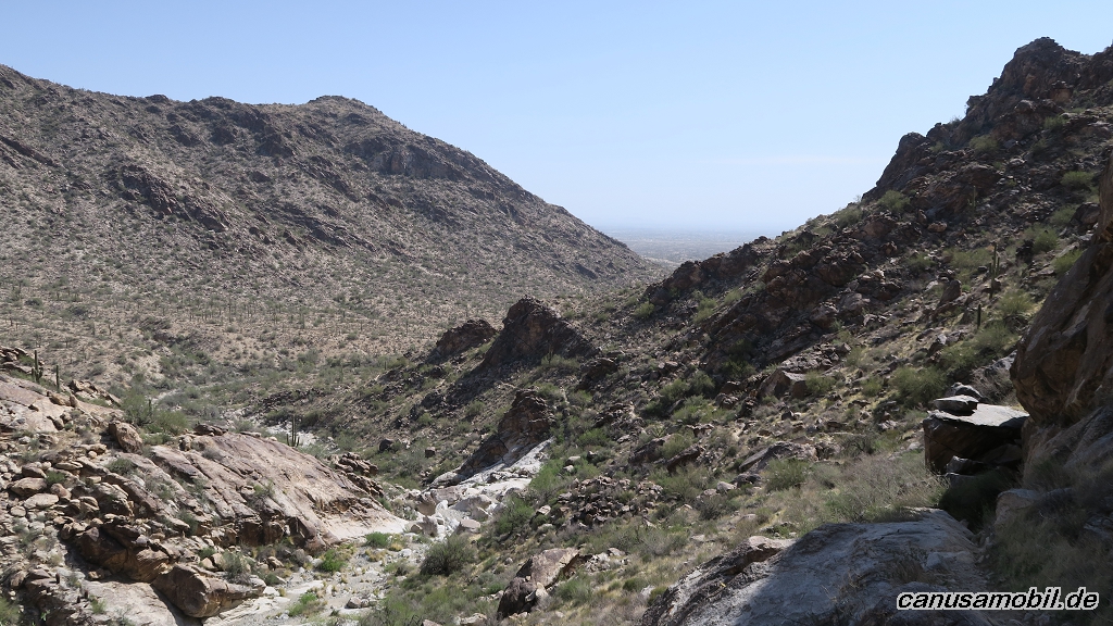
Ford Canyon Trail 04
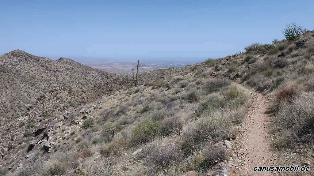
Ford Canyon Trail 05
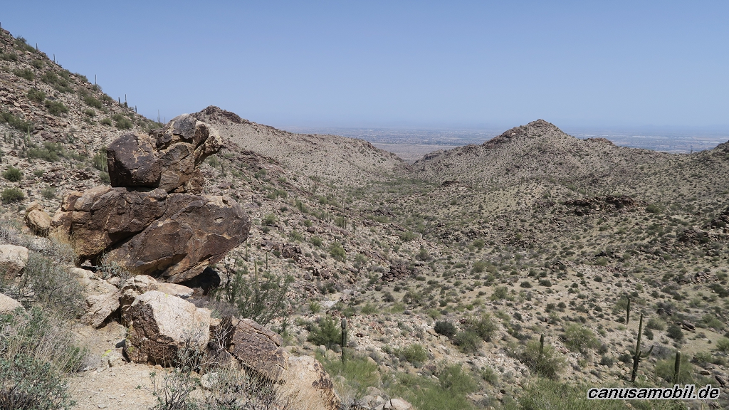
Ford Canyon Trail 06
Hunter Trail mit Sunset Trail 01
Hunter Trail mit Sunset Trail 02
Hunter Trail mit Sunset Trail 03
Hunter Trail mit Sunset Trail 04
Hunter Trail mit Sunset Trail 05
Hunter Trail mit Sunset Trail 06
Prospect Trail 01
Prospect Trail 02
Prospect Trail 03
Prospect Trail 04
Prospect Trail 05
Prospect Trail 06
Spencer Trail 01
Spencer Trail 02
Spencer Trail 03
Spencer Trail 04
Spencer Trail 05
Spencer Trail 06