
Seiteninhalt
Baylor Pass, New Mexico, USA
Map of the route “2024 – Überführung USA 2 – Wanderungen”: 17,48 km, 753 m of climbing and 724 m of descent, elevation between 1.505 m and 1.949 m, time 05:31:28. It is a loop that starts and ends at 32.37182, -106.56163 (latitude, longitude).
Gesamtstrecke: 17.48 km
Maximale Höhe: 1950 m
Minimale Höhe: 1504 m
Gesamtanstieg: 753 m
Gesamtzeit: 05:31:28
Download file: Baylor-Pass.gpxMaximale Höhe: 1950 m
Minimale Höhe: 1504 m
Gesamtanstieg: 753 m
Gesamtzeit: 05:31:28
Table Mountain Trail, New Mexico, USA
Map of the route “2024 – Überführung USA 2 – Wanderungen”: 10,16 km, 251 m of climbing and 240 m of descent, elevation between 1.588 m and 1.749 m, time 03:19:06. It starts at 32.58820, -107.97394 and ends at 32.58790, -107.97640 (latitude, longitude).
Gesamtstrecke: 10.16 km
Maximale Höhe: 1749 m
Minimale Höhe: 1588 m
Gesamtanstieg: 251 m
Gesamtzeit: 03:19:06
Download file: Table-Mountain-Trail.gpxMaximale Höhe: 1749 m
Minimale Höhe: 1588 m
Gesamtanstieg: 251 m
Gesamtzeit: 03:19:06
Fotoalbum
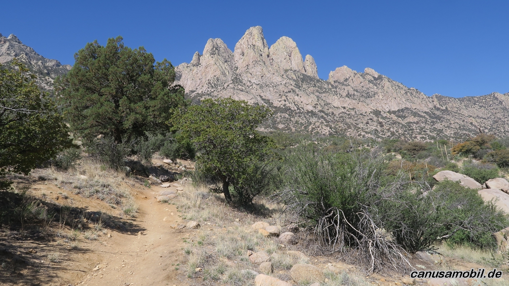
Baylor Pass 01
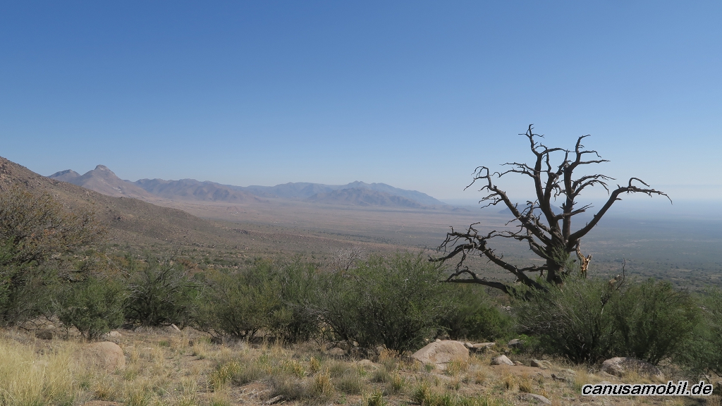
Baylor Pass 02
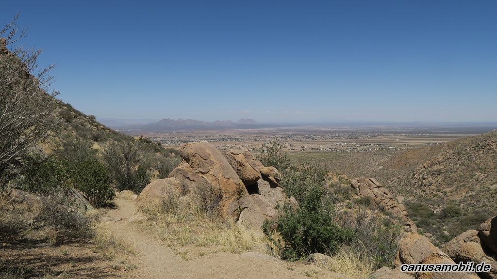
Baylor Pass 03
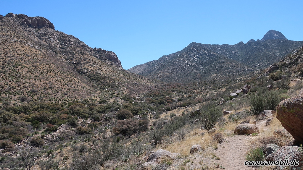
Baylor Pass 04
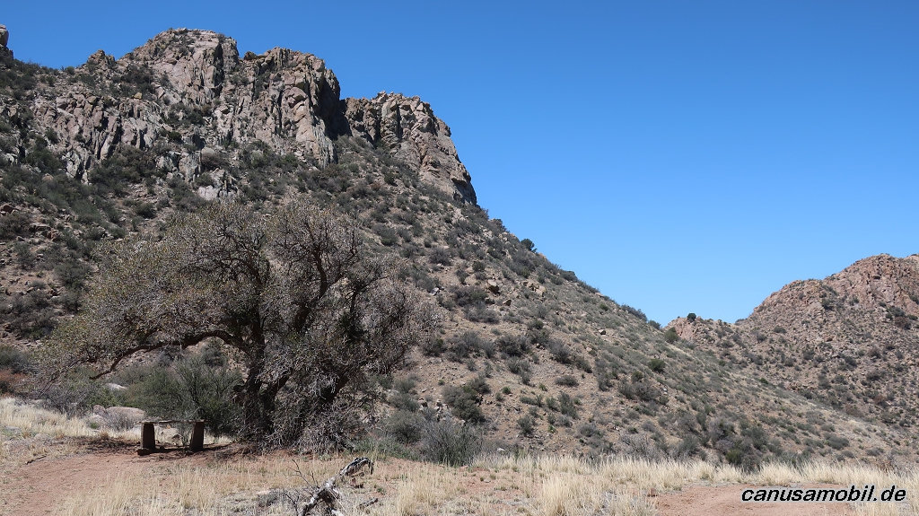
Baylor Pass 05
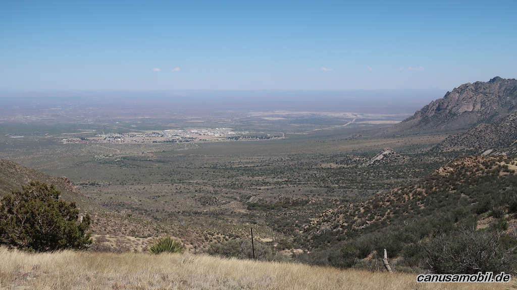
Baylor Pass 06

Table Mountain Trail 01
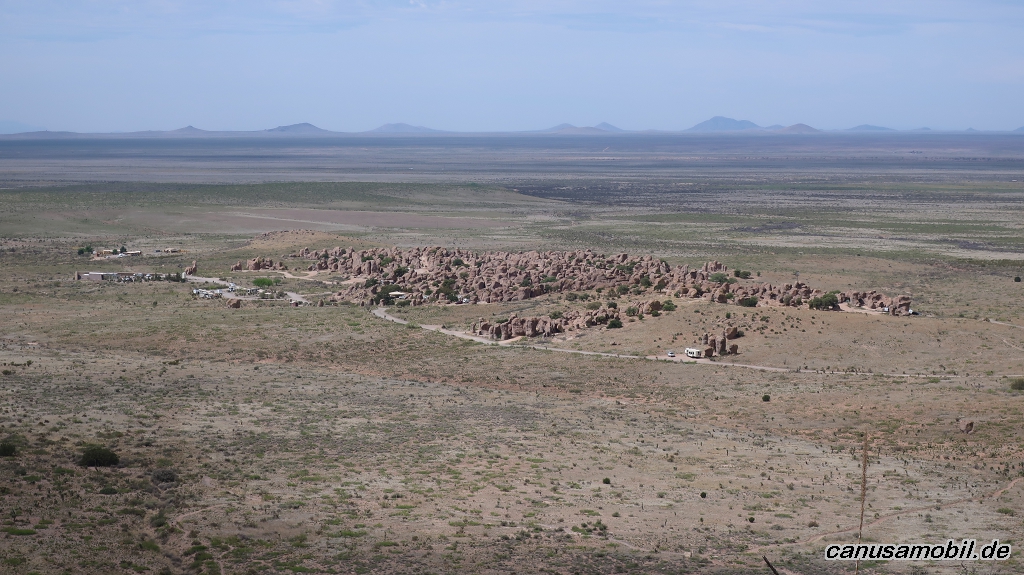
Table Mountain Trail 02

Table Mountain Trail 03
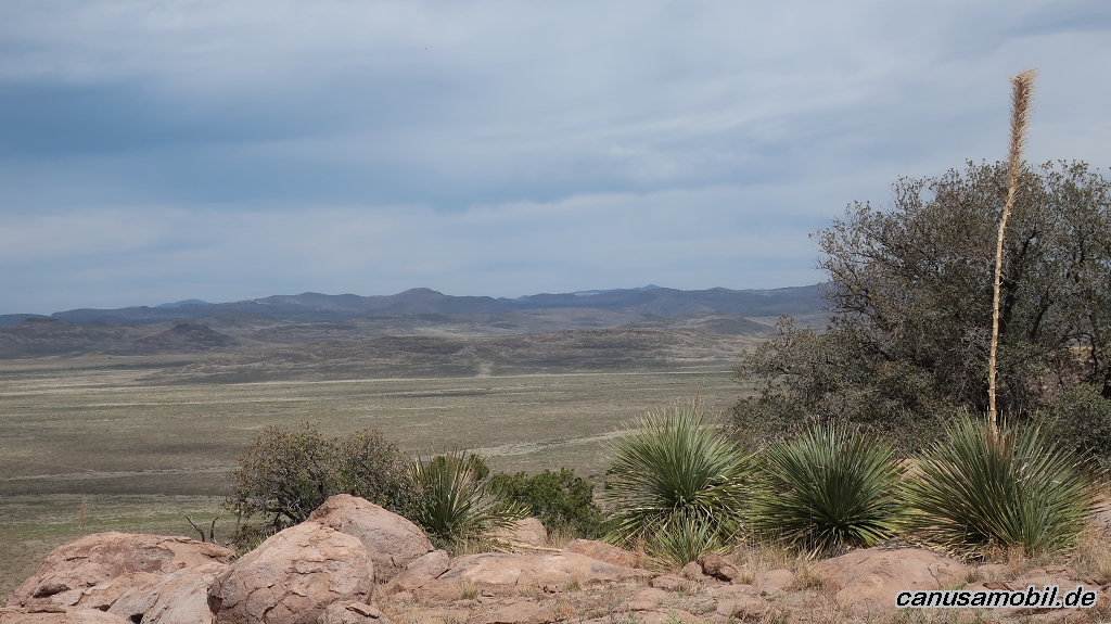
Table Mountain Trail 04
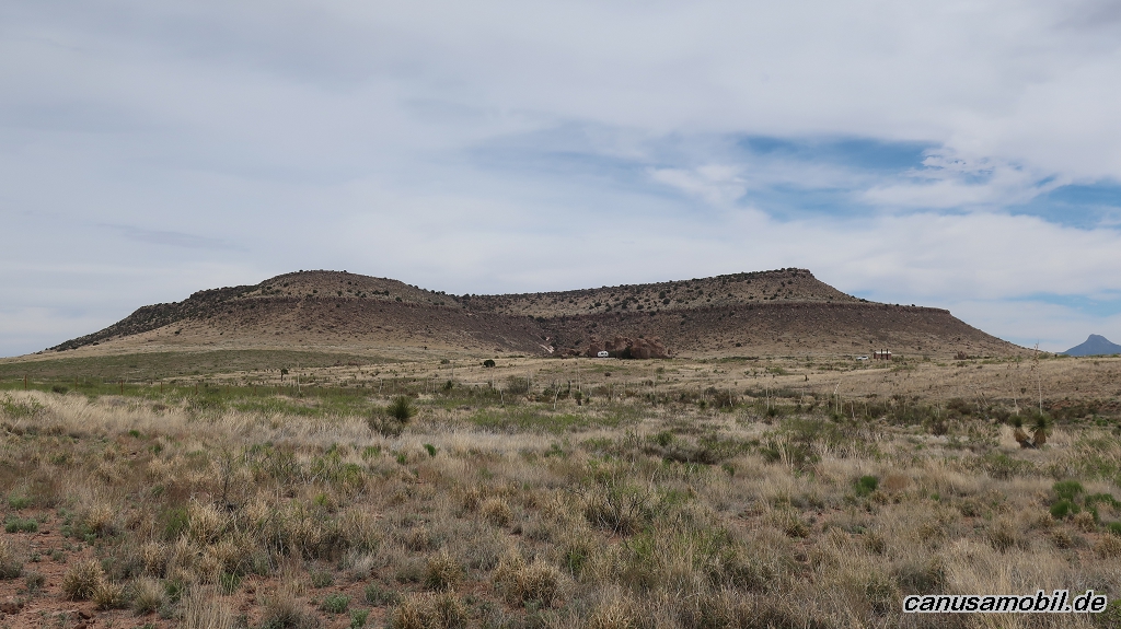
Table Mountain Trail 05

Table Mountain Trail 06