Seiteninhalt
Arch Canyon Trail, Arizona, USA
Gesamtstrecke: 4.27 km
Maximale Höhe: 1061 m
Minimale Höhe: 782 m
Gesamtanstieg: 352 m
Gesamtzeit: 02:22:54
Download file: Arch-Canyon-Trail.gpxMaximale Höhe: 1061 m
Minimale Höhe: 782 m
Gesamtanstieg: 352 m
Gesamtzeit: 02:22:54
Broadway Cave, Arizona, USA
Gesamtstrecke: 13.76 km
Maximale Höhe: 831 m
Minimale Höhe: 627 m
Gesamtanstieg: 337 m
Gesamtzeit: 03:58:38
Download file: Broadway-Cave.gpxMaximale Höhe: 831 m
Minimale Höhe: 627 m
Gesamtanstieg: 337 m
Gesamtzeit: 03:58:38
Brown Mountain Trail, Arizona, USA
Gesamtstrecke: 7.83 km
Maximale Höhe: 938 m
Minimale Höhe: 794 m
Gesamtanstieg: 289 m
Gesamtzeit: 07:17:06
Download file: Brown-Mountain-Trail.gpxMaximale Höhe: 938 m
Minimale Höhe: 794 m
Gesamtanstieg: 289 m
Gesamtzeit: 07:17:06
Butcher Jones Trail, Arizona, USA
Gesamtstrecke: 7.7 km
Maximale Höhe: 513 m
Minimale Höhe: 447 m
Gesamtanstieg: 214 m
Gesamtzeit: 02:24:36
Download file: Butcher-Jones-Trail.gpxMaximale Höhe: 513 m
Minimale Höhe: 447 m
Gesamtanstieg: 214 m
Gesamtzeit: 02:24:36
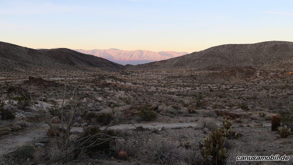
Calcite Mine, Kalifornien, USA
Gesamtstrecke: 7.98 km
Maximale Höhe: 359 m
Minimale Höhe: 167 m
Gesamtanstieg: 329 m
Gesamtzeit: 02:50:02
Download file: Calcite-Mine.gpxMaximale Höhe: 359 m
Minimale Höhe: 167 m
Gesamtanstieg: 329 m
Gesamtzeit: 02:50:02
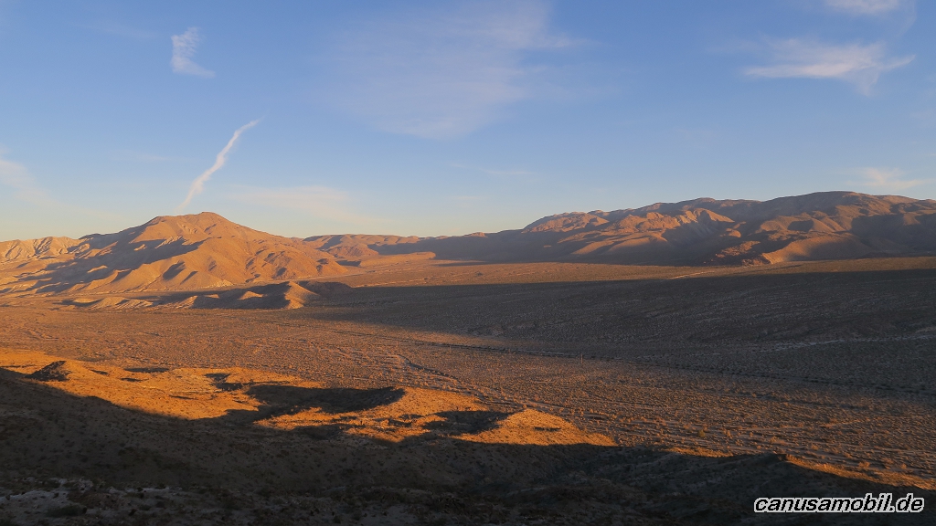
Mountain Palm Springs Loop Trail, Kalifornien, USA
Gesamtstrecke: 7.63 km
Maximale Höhe: 361 m
Minimale Höhe: 231 m
Gesamtanstieg: 256 m
Gesamtzeit: 02:51:45
Download file: Mountain-Palm-Springs-Loop-Trail.gpxMaximale Höhe: 361 m
Minimale Höhe: 231 m
Gesamtanstieg: 256 m
Gesamtzeit: 02:51:45
Picacho Peak, Arizona, USA
Gesamtstrecke: 11.58 km
Maximale Höhe: 1015 m
Minimale Höhe: 536 m
Gesamtanstieg: 723 m
Gesamtzeit: 05:19:00
Download file: Picacho-Peak.gpxMaximale Höhe: 1015 m
Minimale Höhe: 536 m
Gesamtanstieg: 723 m
Gesamtzeit: 05:19:00
Praying Hands mit Massacre Falls Trail, Arizona, USA
Gesamtstrecke: 14.06 km
Maximale Höhe: 961 m
Minimale Höhe: 624 m
Gesamtanstieg: 599 m
Gesamtzeit: 05:27:10
Download file: Praying-Hands-mit-Massacre-Falls-Trail.gpxMaximale Höhe: 961 m
Minimale Höhe: 624 m
Gesamtanstieg: 599 m
Gesamtzeit: 05:27:10
Victoria Mine mit Lost Cabin Mine Trail, Arizona, USA
Gesamtstrecke: 13.03 km
Maximale Höhe: 529 m
Minimale Höhe: 467 m
Gesamtanstieg: 301 m
Gesamtzeit: 03:47:15
Download file: Victoria-Mine-mit-Lost-Cabin-Mine-Trail.gpxMaximale Höhe: 529 m
Minimale Höhe: 467 m
Gesamtanstieg: 301 m
Gesamtzeit: 03:47:15
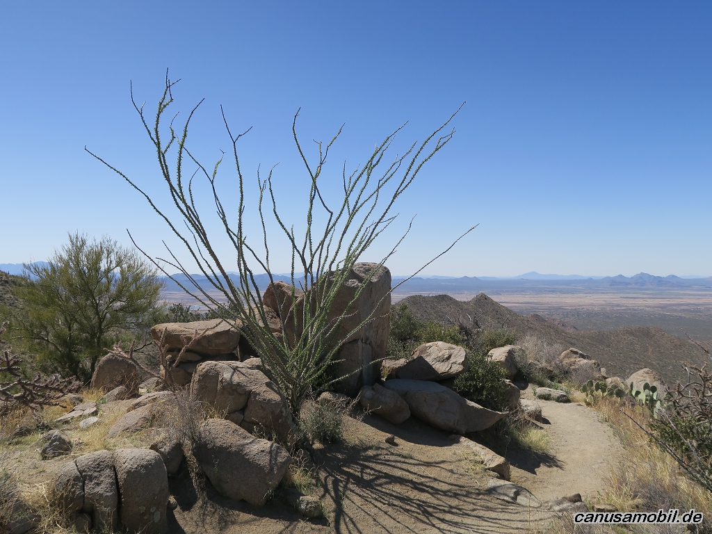
Wasson Peak, Arizona, USA
Gesamtstrecke: 12.42 km
Maximale Höhe: 1408 m
Minimale Höhe: 879 m
Gesamtanstieg: 621 m
Gesamtzeit: 04:29:08
Download file: Wasson-Peak.gpxMaximale Höhe: 1408 m
Minimale Höhe: 879 m
Gesamtanstieg: 621 m
Gesamtzeit: 04:29:08
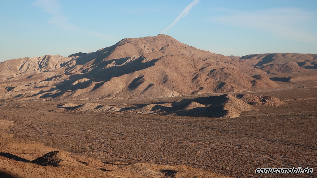
William L Kenyon Overlook Trail, Kalifornien, USA
Gesamtstrecke: 1.73 km
Maximale Höhe: 551 m
Minimale Höhe: 518 m
Gesamtanstieg: 65 m
Gesamtzeit: 00:45:27
Download file: William-L.-Kenyon-Overlook-Trail.gpxMaximale Höhe: 551 m
Minimale Höhe: 518 m
Gesamtanstieg: 65 m
Gesamtzeit: 00:45:27
Fotoalbum
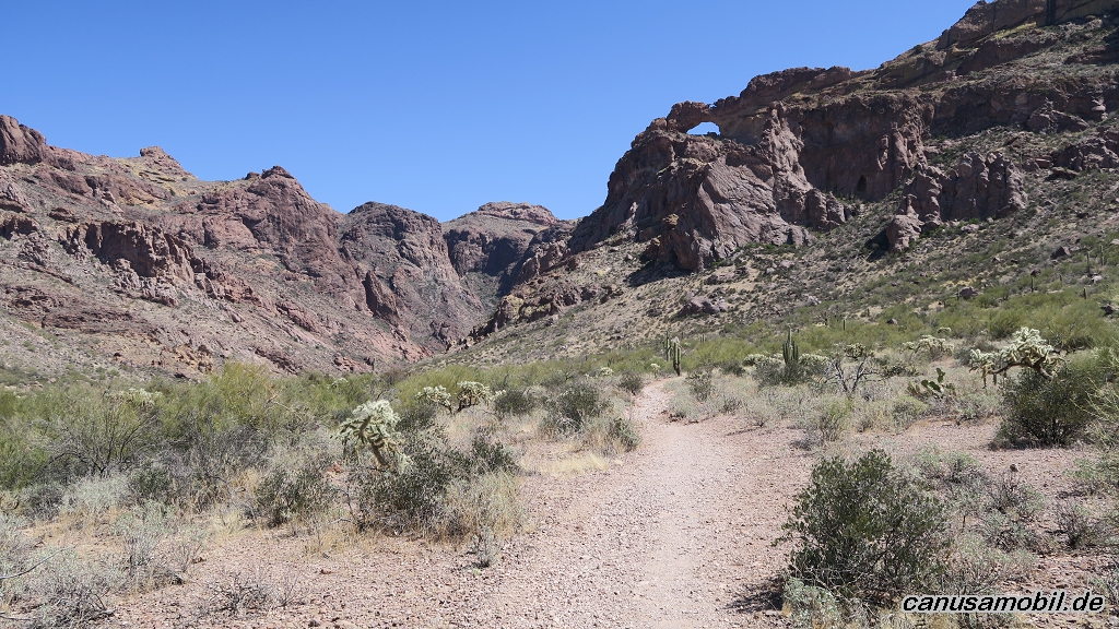
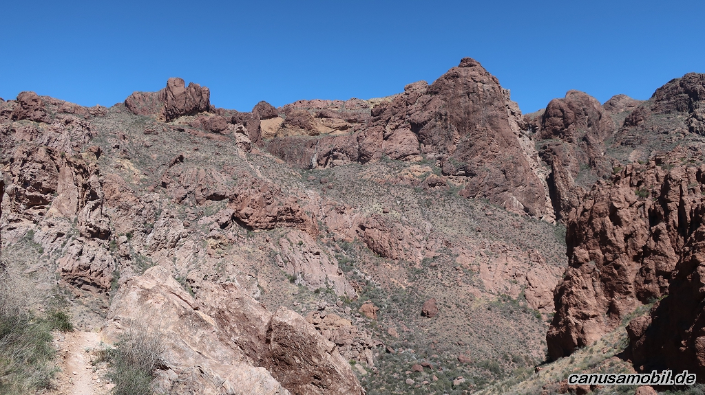
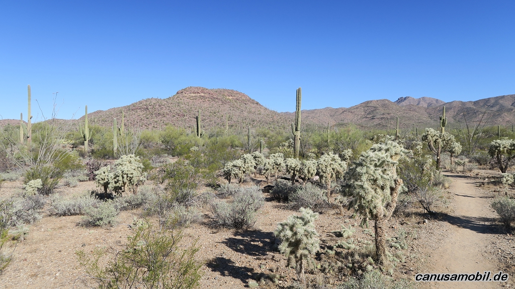
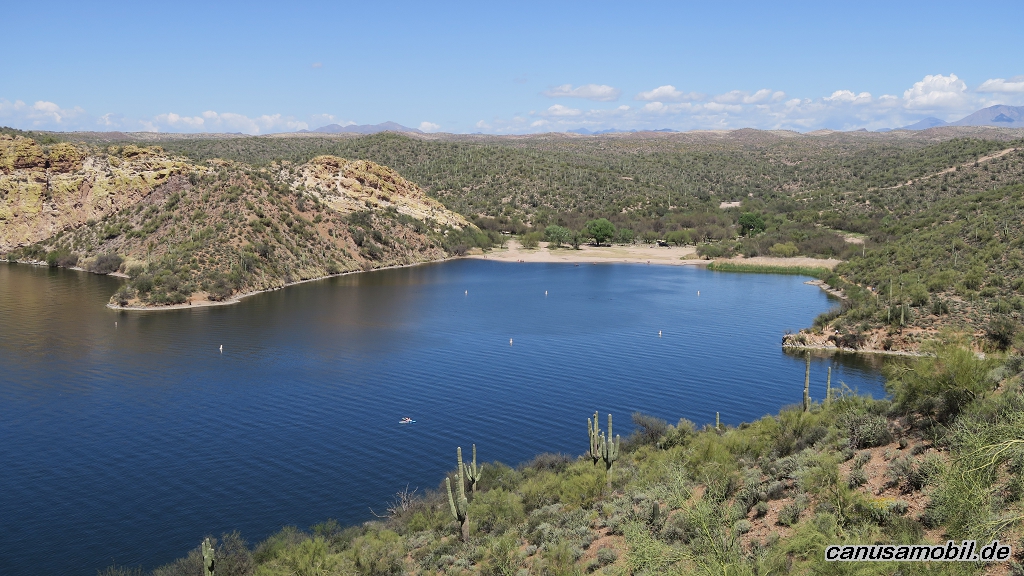
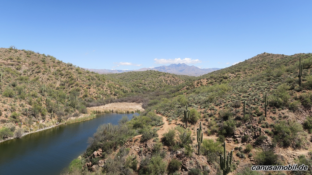
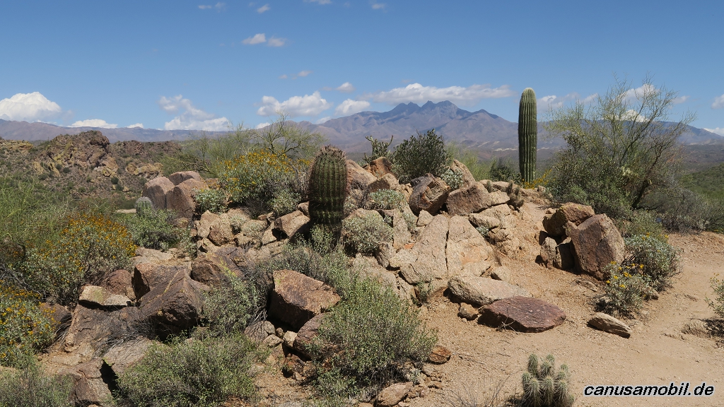
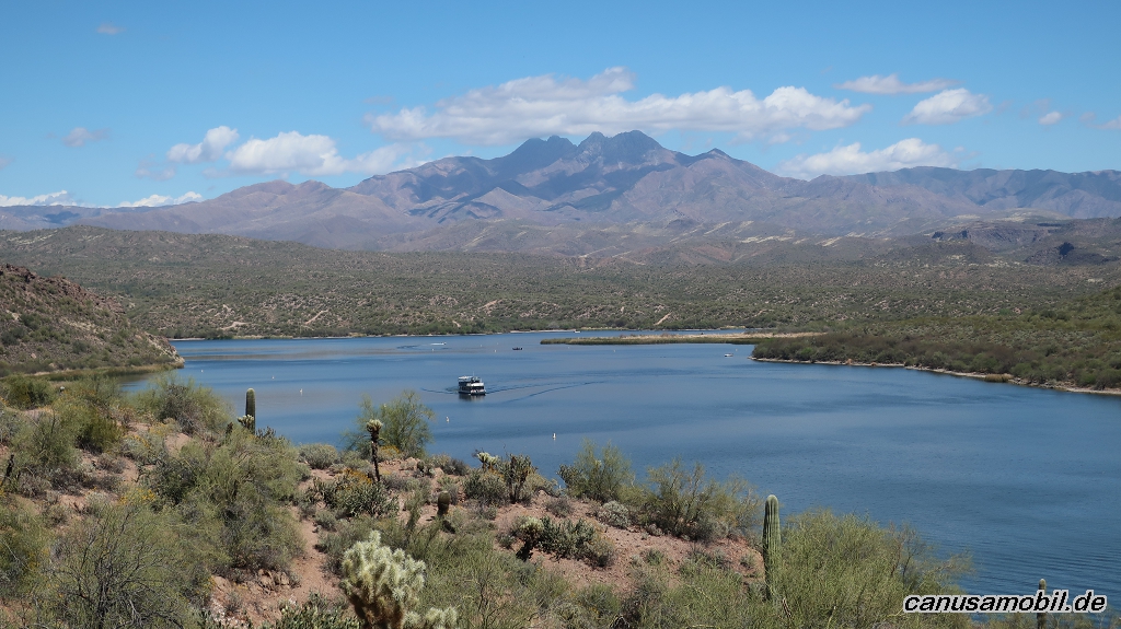
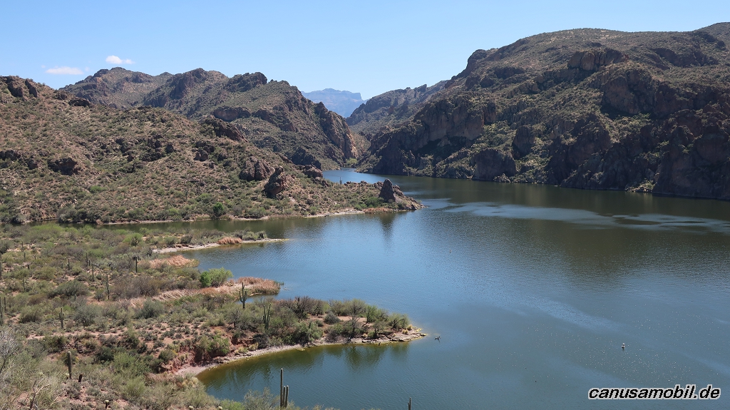
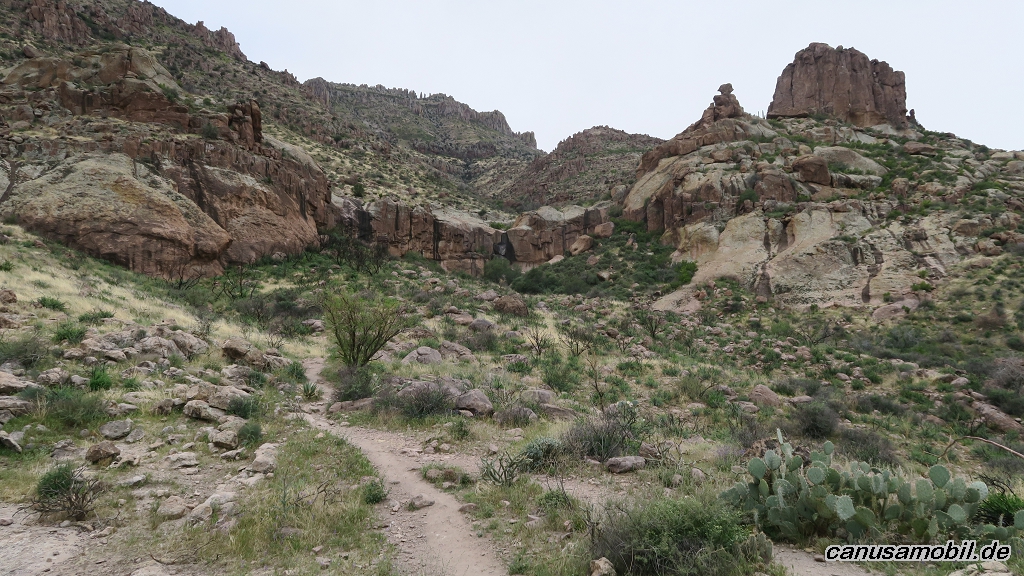
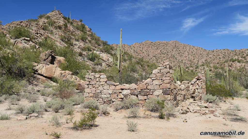
Arch Canyon Trail 01
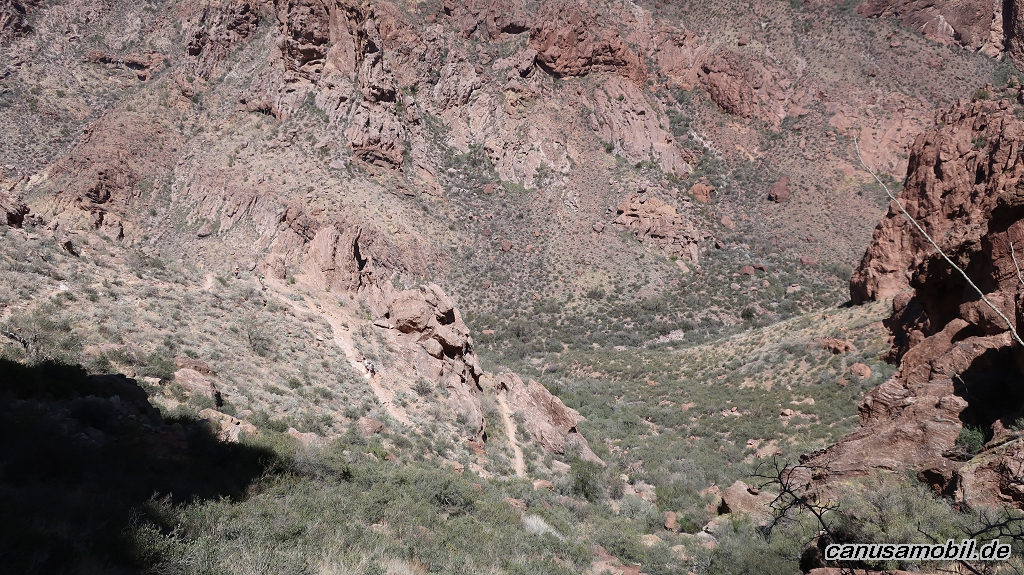
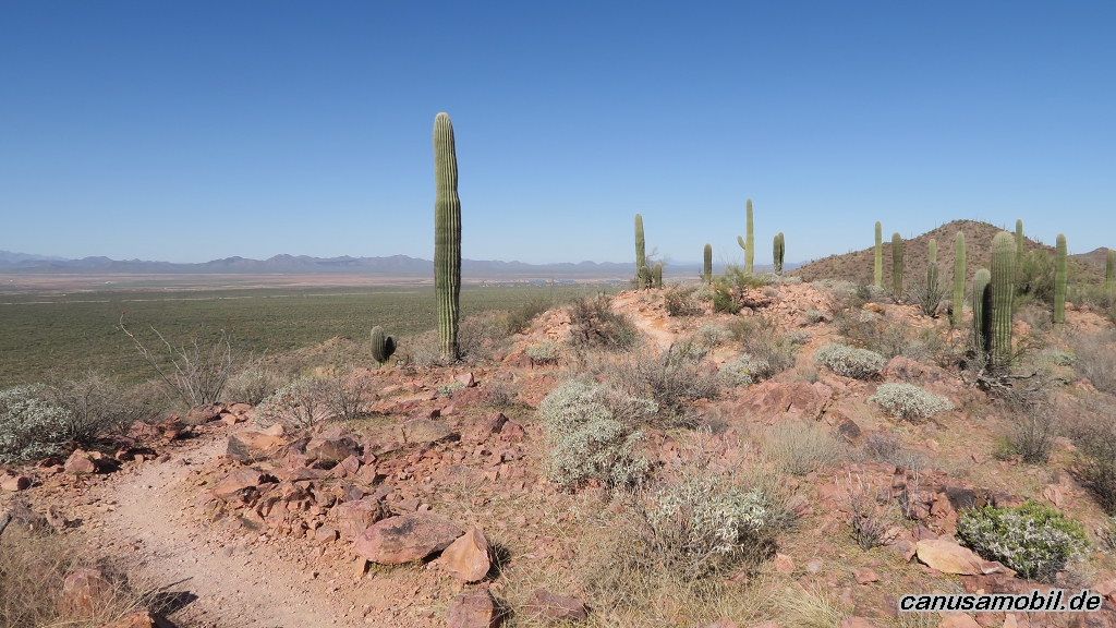
Arch Canyon Trail 02
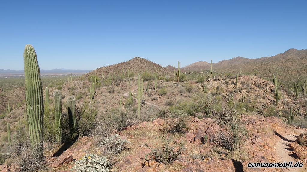
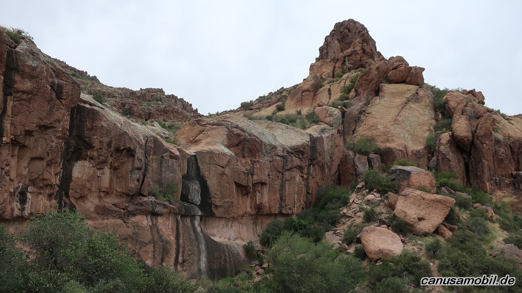
Arch Canyon Trail 03
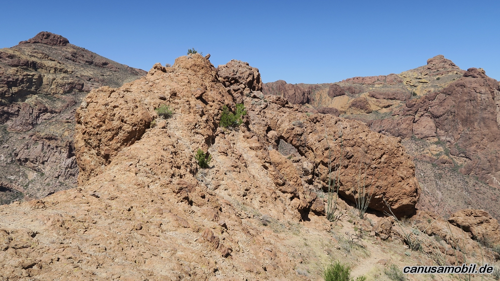
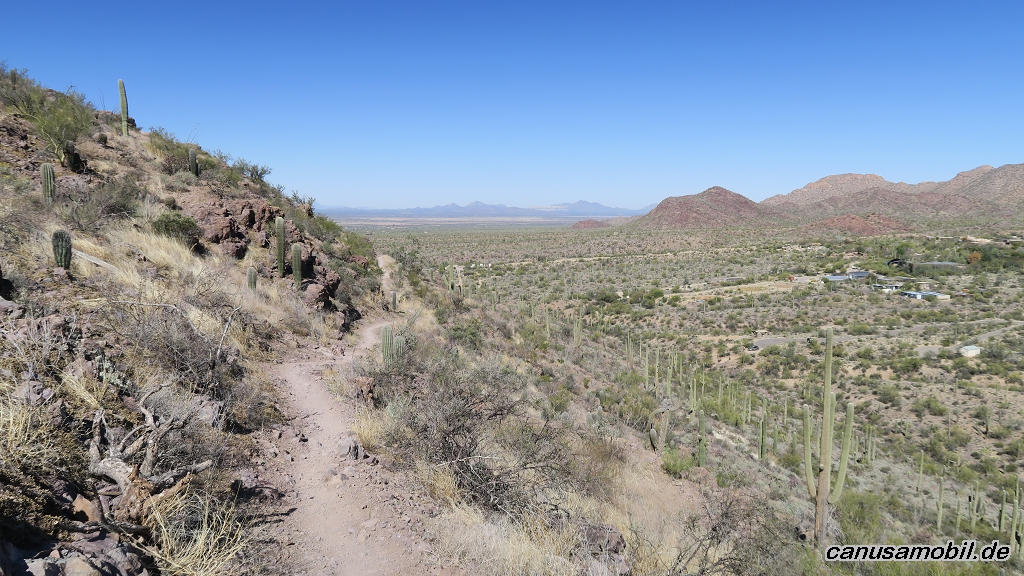
Arch Canyon Trail 04
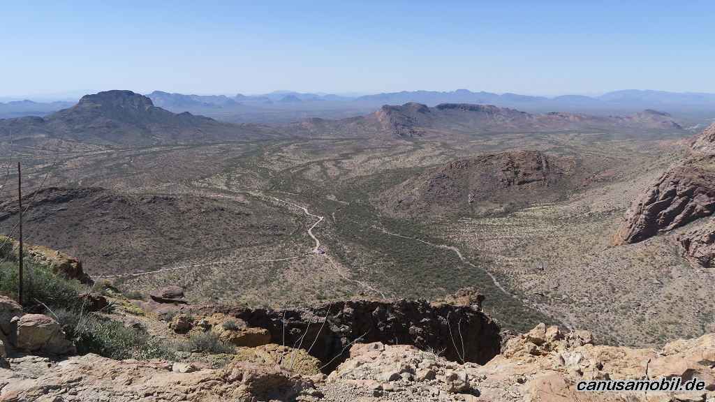
Arch Canyon Trail 05
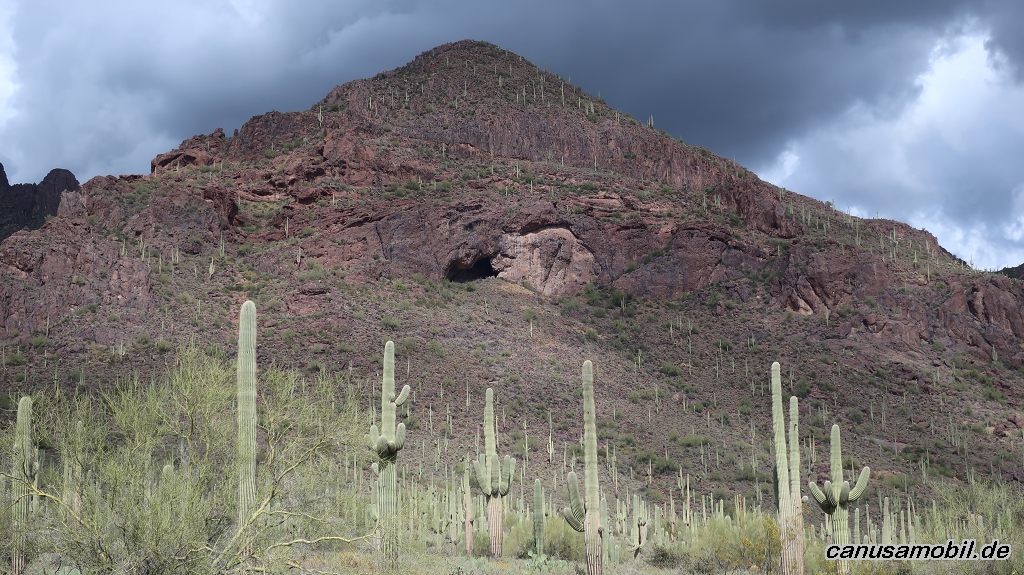
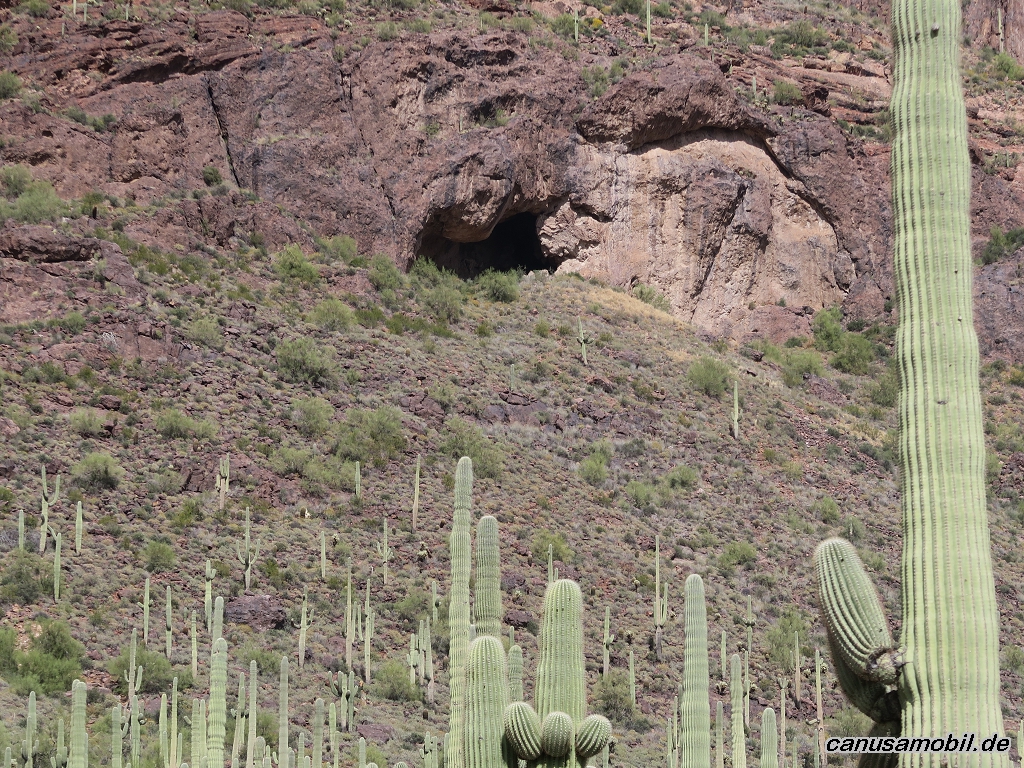
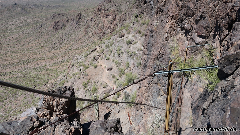
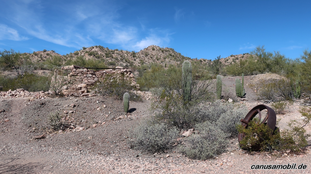
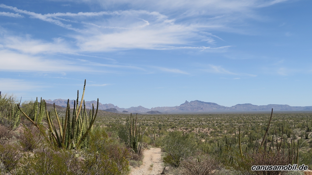
Broadway Cave 01
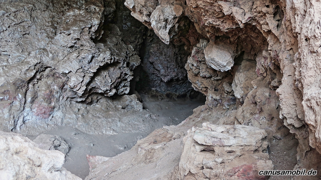
Broadway Cave 02
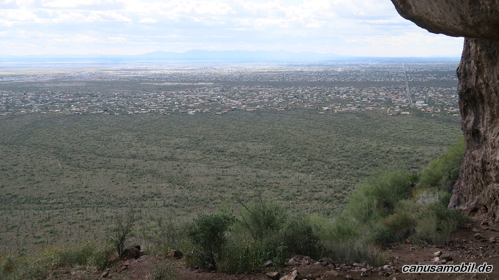
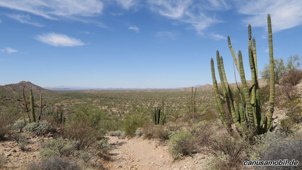
Broadway Cave 03
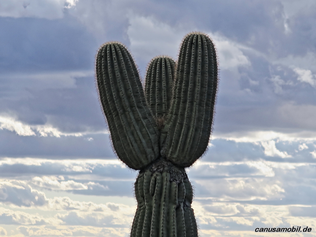
Broadway Cave 04
Broadway Cave 05
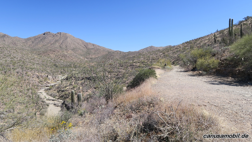
Brown Mountain Trail 01
Brown Mountain Trail 02
Brown Mountain Trail 03

Brown Mountain Trail 04
Brown Mountain Trail 05
Butcher Jones Trail 01
Butcher Jones Trail 02
Butcher Jones Trail 03
Butcher Jones Trail 04
Butcher Jones Trail 05
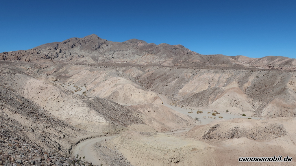
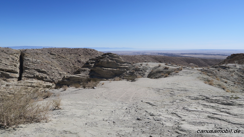
Calcite Mine 01
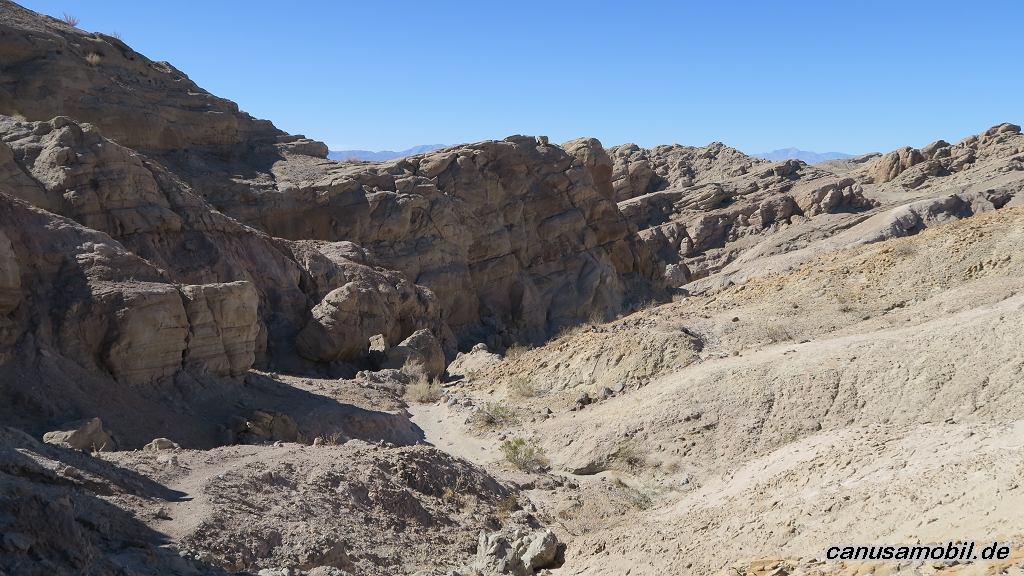
Calcite Mine 02
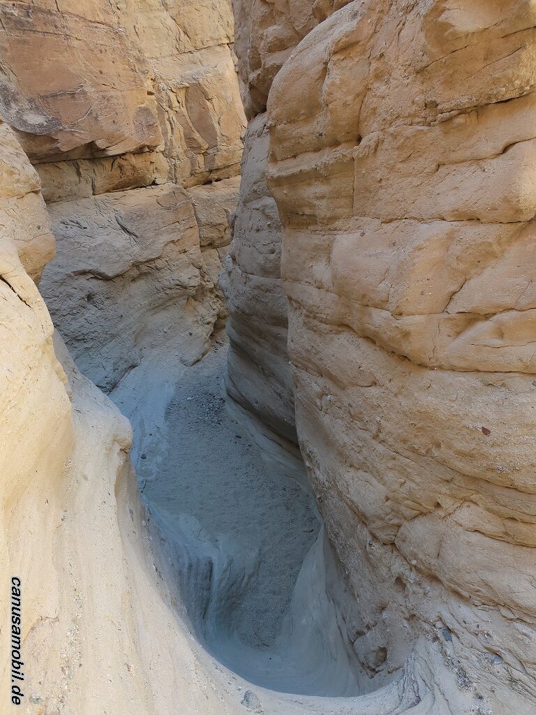
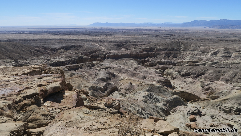
Calcite Mine 03
Calcite Mine 04
Calcite Mine 05
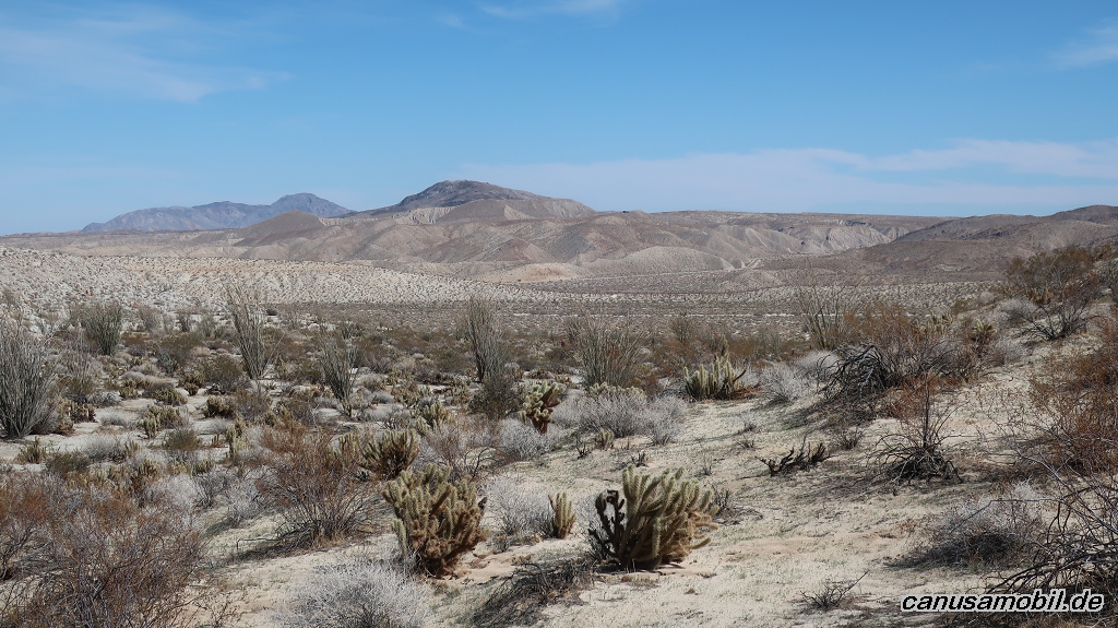
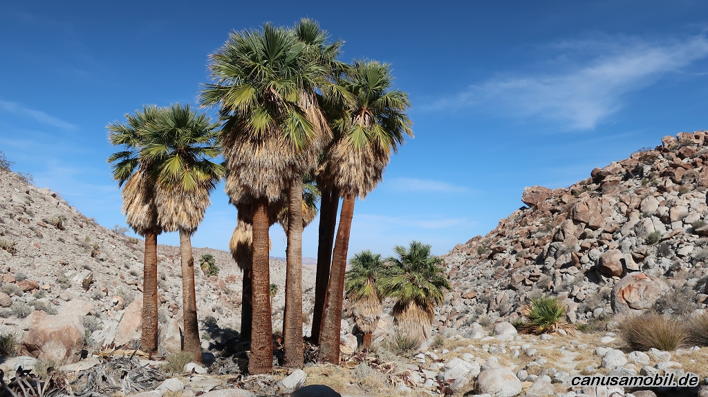
Mountain Palm Springs Loop Trail 01
Mountain Palm Springs Loop Trail 02
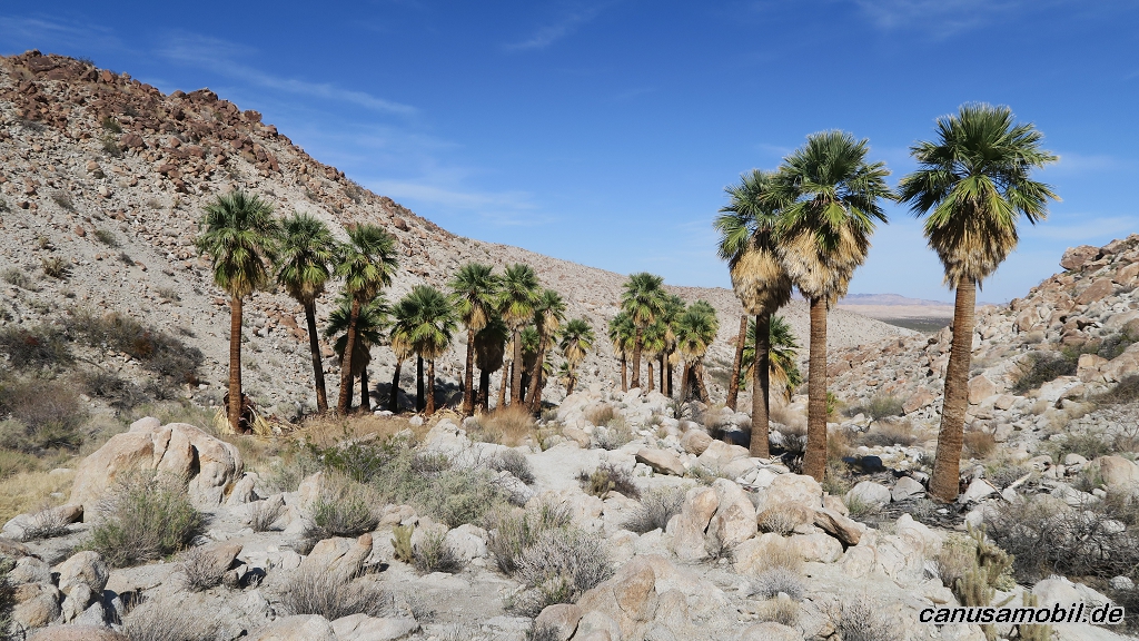
Mountain Palm Springs Loop Trail 03
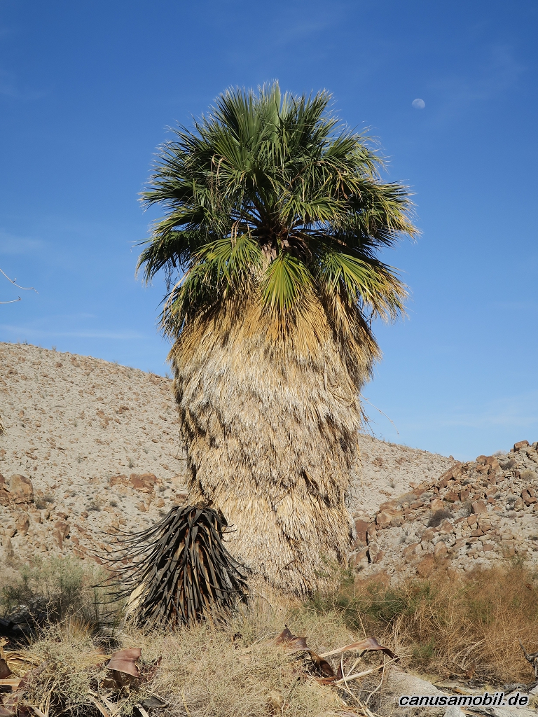
Mountain Palm Springs Loop Trail 04
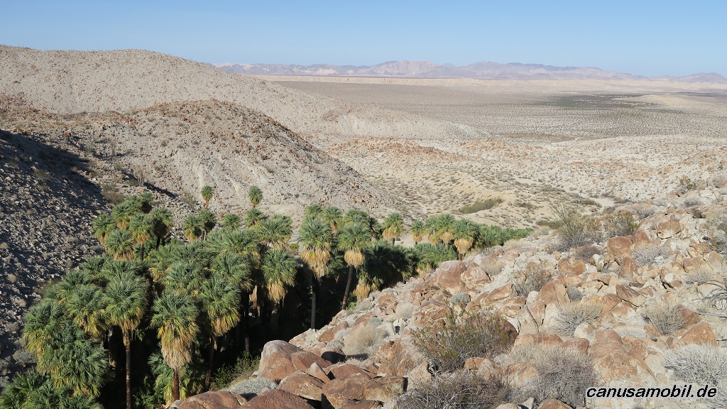
Mountain Palm Springs Loop Trail 05

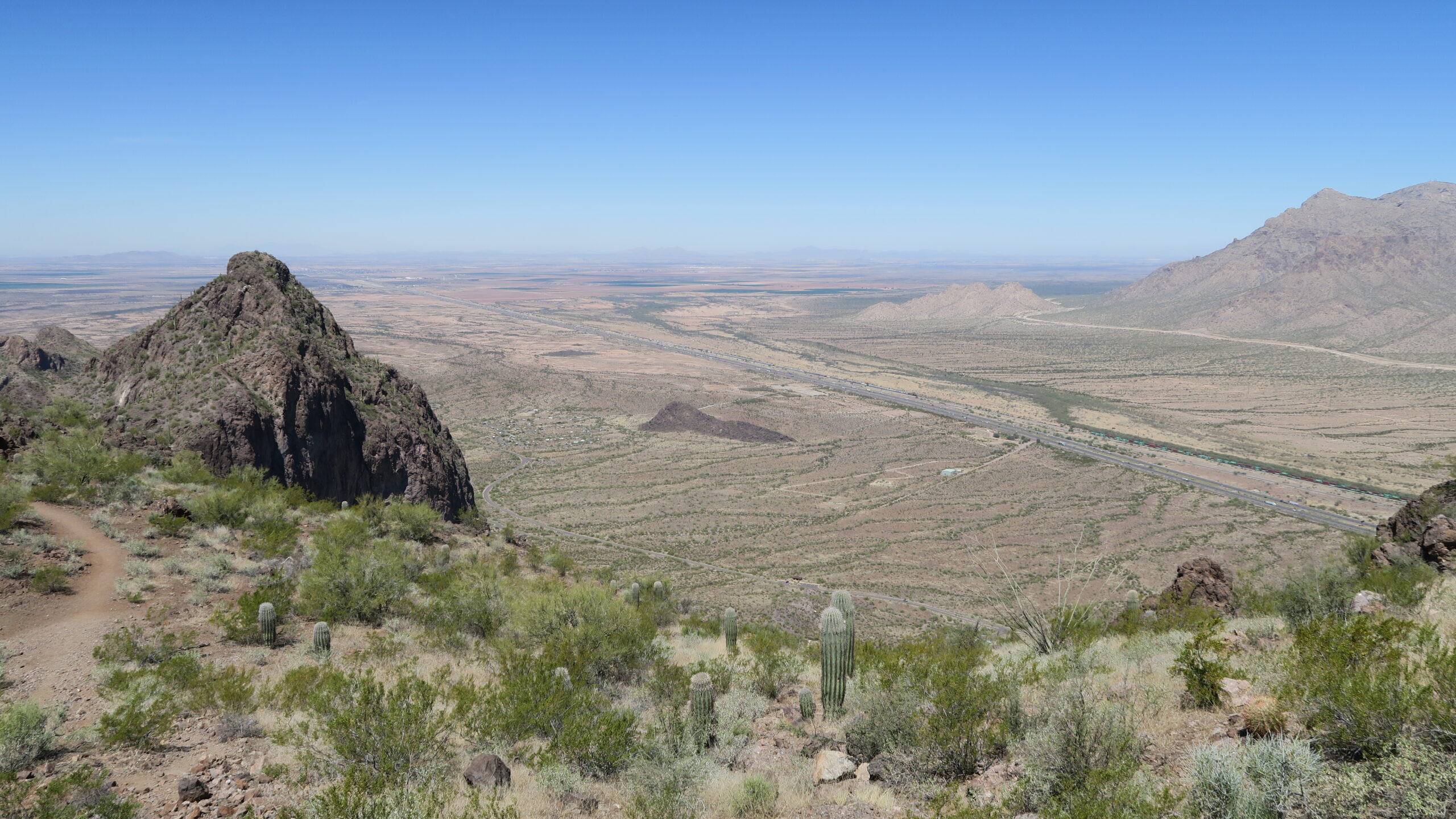
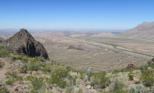
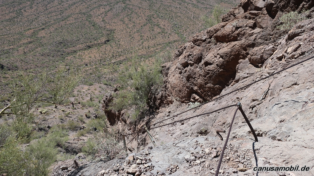
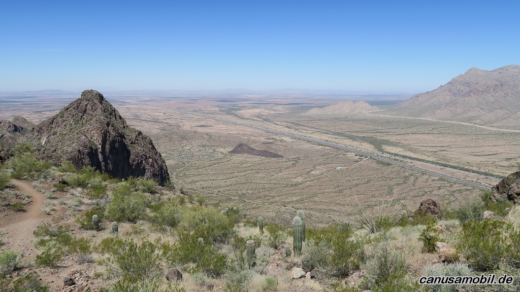
Picacho Peak 01
Picacho Peak 02

Picacho Peak 03
Picacho Peak 04
Picacho Peak 05
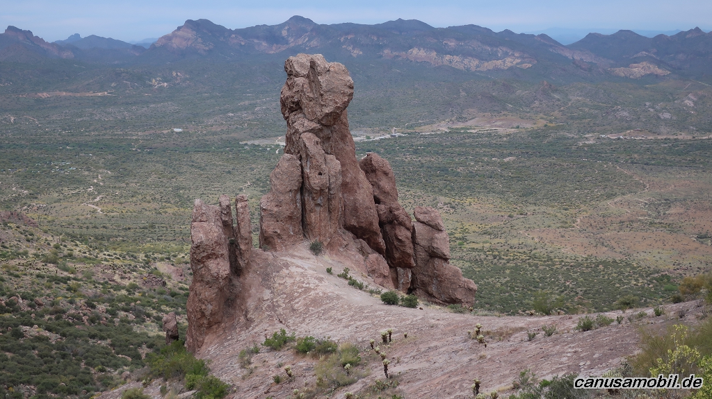
Praying Hands mit Massacre Falls Trail 01

Praying Hands mit Massacre Falls Trail 02
Praying Hands mit Massacre Falls Trail 03
Praying Hands mit Massacre Falls Trail 04
Praying Hands mit Massacre Falls Trail 05

Victoria Mine mit Lost Cabin Mine Trail 01
Victoria Mine mit Lost Cabin Mine Trail 02
Victoria Mine mit Lost Cabin Mine Trail 03
Victoria Mine mit Lost Cabin Mine Trail 04
Victoria Mine mit Lost Cabin Mine Trail 05
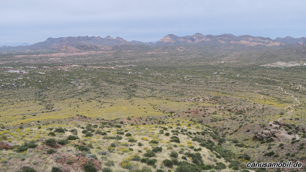
Wasson Peak 01

Wasson Peak 02

Wasson Peak 03
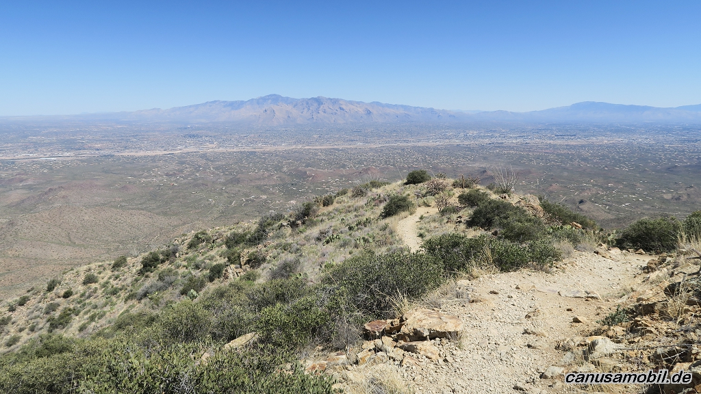
Wasson Peak 04
Wasson Peak 05
William L Kenyon Overlook Trail 01
William L Kenyon Overlook Trail 02
William L Kenyon Overlook Trail 03