
Seiteninhalt
Chief Ouray Mine, Colorado, USA
Map of the route “2019 – Highway 50 – Wanderungen”: 8,13 km, 558 m of climbing and 551 m of descent, elevation between 2.596 m and 3.060 m, time 03:32:43. It is a loop that starts and ends at 38.02196, -107.66055 (latitude, longitude).
Maximale Höhe: 3062 m
Minimale Höhe: 2595 m
Gesamtanstieg: 558 m
Gesamtzeit: 03:32:43
Genoa Peak, Nevada, USA
Map of the route “2019 – Highway 50 – Wanderungen”: 21,57 km, 907 m of climbing and 888 m of descent, elevation between 2.173 m and 2.756 m, time 06:33:42. It is a loop that starts and ends at 39.10371, -119.89520 (latitude, longitude).
Maximale Höhe: 2756 m
Minimale Höhe: 2173 m
Gesamtanstieg: 907 m
Gesamtzeit: 06:34:09
Gunnison Route, Colorado, USA
Map of the route “2019 – Highway 50 – Wanderungen”: 4,89 km, 571 m of climbing and 578 m of descent, elevation between 1.954 m and 2.499 m, time 04:49:34. It is a loop that starts and ends at 38.55498, -107.68682 (latitude, longitude).
Maximale Höhe: 2499 m
Minimale Höhe: 1954 m
Gesamtanstieg: 571 m
Gesamtzeit: 04:50:09
Mount Yale, Colorado, USA
Map of the route “2019 – Highway 50 – Wanderungen”: 10,37 km, 780 m of climbing and 769 m of descent, elevation between 3.021 m and 3.752 m, time 04:17:03. It is a loop that starts and ends at 38.81505, -106.33440 (latitude, longitude).
Maximale Höhe: 3754 m
Minimale Höhe: 3021 m
Gesamtanstieg: 780 m
Gesamtzeit: 04:17:39
Ouray Perimeter Trail mit Twin Peaks Trail, Colorado, USA
Map of the route “2019 – Highway 50 – Wanderungen”: 20,77 km, 1.311 m of climbing and 1.286 m of descent, elevation between 2.363 m and 3.127 m, time 08:26:43. It is a loop that starts and ends at 38.02270, -107.66319 (latitude, longitude).
Maximale Höhe: 3128 m
Minimale Höhe: 2363 m
Gesamtanstieg: 1311 m
Gesamtzeit: 08:26:43
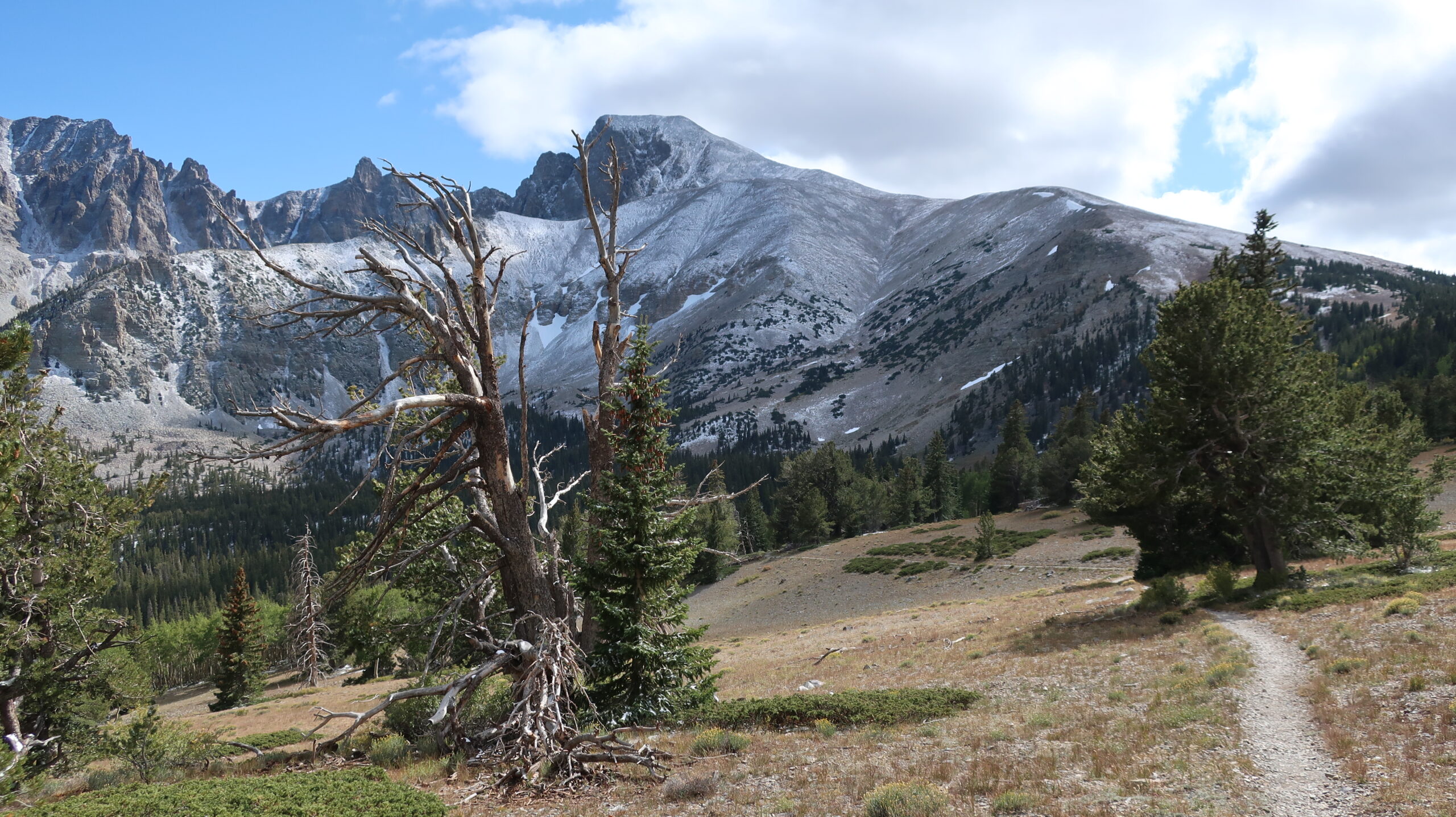
Wheeler Peak, Nevada, USA
Map of the route “2019 – Highway 50 – Wanderungen”: 24,65 km, 1.594 m of climbing and 1.621 m of descent, elevation between 2.350 m and 3.933 m, time 08:35:19. It is a loop that starts and ends at 39.01305, -114.25401 (latitude, longitude).
Maximale Höhe: 3933 m
Minimale Höhe: 2344 m
Gesamtanstieg: 1594 m
Gesamtzeit: 08:36:01
Fotoalbum


