Seiteninhalt
Ampersand Mountain, New York, USA
Gesamtstrecke: 9.13 km
Maximale Höhe: 1036 m
Minimale Höhe: 488 m
Gesamtanstieg: 644 m
Gesamtzeit: 03:38:30
Download file: Ampersand-Mountain.gpxMaximale Höhe: 1036 m
Minimale Höhe: 488 m
Gesamtanstieg: 644 m
Gesamtzeit: 03:38:30
Beehive Trail, Maine, USA
Gesamtstrecke: 3.77 km
Maximale Höhe: 171 m
Minimale Höhe: 15 m
Gesamtanstieg: 351 m
Gesamtzeit: 01:48:38
Download file: Beehive-Trail.gpxMaximale Höhe: 171 m
Minimale Höhe: 15 m
Gesamtanstieg: 351 m
Gesamtzeit: 01:48:38
Cadillac Mountain, Maine, USA
Gesamtstrecke: 14.81 km
Maximale Höhe: 478 m
Minimale Höhe: 34 m
Gesamtanstieg: 866 m
Gesamtzeit: 05:37:42
Download file: Cadillac-Mountain.gpxMaximale Höhe: 478 m
Minimale Höhe: 34 m
Gesamtanstieg: 866 m
Gesamtzeit: 05:37:42
Fish Creek Ponds Trail, New York, USA
Gesamtstrecke: 32.41 km
Maximale Höhe: 520 m
Minimale Höhe: 432 m
Gesamtanstieg: 1017 m
Gesamtzeit: 07:53:51
Download file: Fish-Creek-Ponds-Trail.gpxMaximale Höhe: 520 m
Minimale Höhe: 432 m
Gesamtanstieg: 1017 m
Gesamtzeit: 07:53:51
Mount Battie, Maine, USA
Gesamtstrecke: 7.8 km
Maximale Höhe: 378 m
Minimale Höhe: 78 m
Gesamtanstieg: 586 m
Gesamtzeit: 02:58:05
Download file: Mount-Battie.gpxMaximale Höhe: 378 m
Minimale Höhe: 78 m
Gesamtanstieg: 586 m
Gesamtzeit: 02:58:05
Owls Head Mountain, New York, USA
Gesamtstrecke: 21.36 km
Maximale Höhe: 858 m
Minimale Höhe: 509 m
Gesamtanstieg: 892 m
Gesamtzeit: 06:05:43
Download file: Owls-Head-Mountain.gpxMaximale Höhe: 858 m
Minimale Höhe: 509 m
Gesamtanstieg: 892 m
Gesamtzeit: 06:05:43
The Bubbles, Maine, USA
Gesamtstrecke: 5.65 km
Maximale Höhe: 247 m
Minimale Höhe: 95 m
Gesamtanstieg: 296 m
Gesamtzeit: 01:59:32
Download file: The-Bubbles.gpxMaximale Höhe: 247 m
Minimale Höhe: 95 m
Gesamtanstieg: 296 m
Gesamtzeit: 01:59:32
Wittenberg Cornell Slide Trail, New York, USA
Gesamtstrecke: 26.2 km
Maximale Höhe: 1272 m
Minimale Höhe: 426 m
Gesamtanstieg: 1824 m
Gesamtzeit: 09:10:51
Download file: Wittenberg-Cornell-Slide-Trail.gpxMaximale Höhe: 1272 m
Minimale Höhe: 426 m
Gesamtanstieg: 1824 m
Gesamtzeit: 09:10:51
Fotoalbum

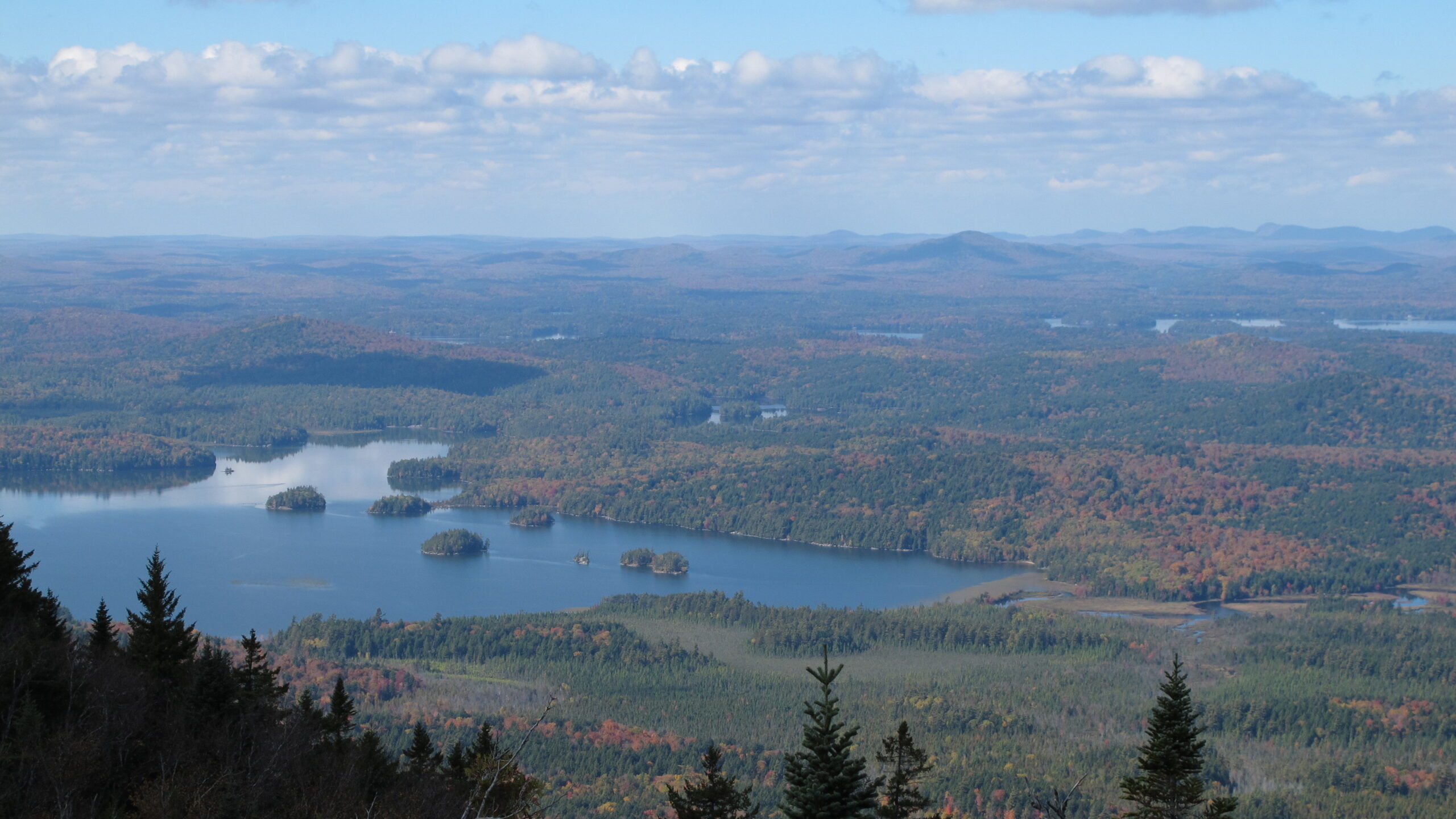
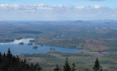
Ampersand Mountain 01

Ampersand Mountain 02

Ampersand Mountain 03

Ampersand Mountain 04

Ampersand Mountain 05

Beehive Trail 01

Beehive Trail 02

Beehive Trail 03

Beehive Trail 04

Beehive Trail 05

Cadillac Mountain 01

Cadillac Mountain 02

Cadillac Mountain 03

Cadillac Mountain 04

Cadillac Mountain 05

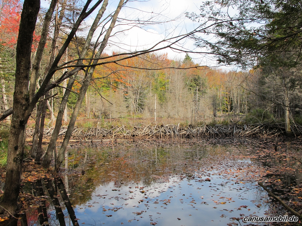
Fish Creek Ponds Trail 01

Fish Creek Ponds Trail 02
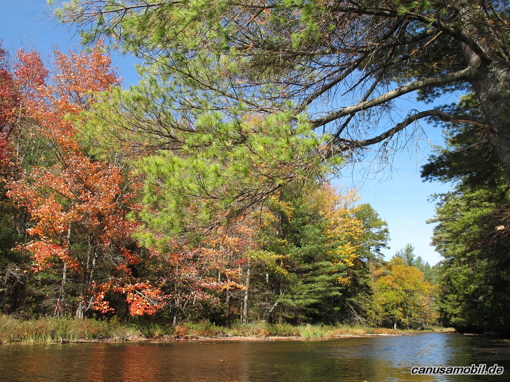
Fish Creek Ponds Trail 03

Fish Creek Ponds Trail 04

Fish Creek Ponds Trail 05

Mount Battie 01

Mount Battie 02

Mount Battie 03

Mount Battie 04

Mount Battie 05
Owls Head Mountain 01

Owls Head Mountain 02

Owls Head Mountain 03

Owls Head Mountain 04

Owls Head Mountain 05

The Bubbles 01

The Bubbles 02

The Bubbles 03
Wittenberg Cornell Slide Trail 01

Wittenberg Cornell Slide Trail 02

Wittenberg Cornell Slide Trail 03

Wittenberg Cornell Slide Trail 04

Wittenberg Cornell Slide Trail 05