Seiteninhalt
Capitan Peak, New Mexico, Kalifornien, USA
Gesamtstrecke: 26.19 km
Maximale Höhe: 3075 m
Minimale Höhe: 1855 m
Gesamtanstieg: 1794 m
Gesamtzeit: 08:45:06
Download file: Capitan-Peak.gpxMaximale Höhe: 3075 m
Minimale Höhe: 1855 m
Gesamtanstieg: 1794 m
Gesamtzeit: 08:45:06
Caprock Canyons Trail, Texas, USA
Gesamtstrecke: 20.55 km
Maximale Höhe: 837 m
Minimale Höhe: 687 m
Gesamtanstieg: 749 m
Gesamtzeit: 05:15:07
Download file: Caprock-Canyons-Trail-1.gpxMaximale Höhe: 837 m
Minimale Höhe: 687 m
Gesamtanstieg: 749 m
Gesamtzeit: 05:15:07
Dog Canyon Trail, New Mexico, USA
Gesamtstrecke: 19.61 km
Maximale Höhe: 2304 m
Minimale Höhe: 1347 m
Gesamtanstieg: 1383 m
Gesamtzeit: 07:01:26
Download file: Dog-Canyon-Trail.gpxMaximale Höhe: 2304 m
Minimale Höhe: 1347 m
Gesamtanstieg: 1383 m
Gesamtzeit: 07:01:26
Little Bear Canyon Trail, New Mexico, USA
Gesamtstrecke: 16.21 km
Maximale Höhe: 1939 m
Minimale Höhe: 1725 m
Gesamtanstieg: 651 m
Gesamtzeit: 04:52:48
Download file: Little-Bear-Canyon-Trail.gpxMaximale Höhe: 1939 m
Minimale Höhe: 1725 m
Gesamtanstieg: 651 m
Gesamtzeit: 04:52:48
Narrows Rim Trail, New Mexico, USA
Gesamtstrecke: 12.92 km
Maximale Höhe: 2293 m
Minimale Höhe: 2158 m
Gesamtanstieg: 471 m
Gesamtzeit: 04:08:09
Download file: Narrows-Rim-Trail.gpxMaximale Höhe: 2293 m
Minimale Höhe: 2158 m
Gesamtanstieg: 471 m
Gesamtzeit: 04:08:09
Palo Duro Canyon Trail 1, Texas, USA
Gesamtstrecke: 18.21 km
Maximale Höhe: 965 m
Minimale Höhe: 875 m
Gesamtanstieg: 553 m
Gesamtzeit: 05:07:11
Download file: Palo-Duro-Canyon-Trail-1.gpxMaximale Höhe: 965 m
Minimale Höhe: 875 m
Gesamtanstieg: 553 m
Gesamtzeit: 05:07:11
Palo Duro Canyon Trail 2, Texas, USA
Gesamtstrecke: 14.39 km
Maximale Höhe: 886 m
Minimale Höhe: 853 m
Gesamtanstieg: 350 m
Gesamtzeit: 03:58:42
Download file: Palo-Duro-Canyon-Trail-2.gpxMaximale Höhe: 886 m
Minimale Höhe: 853 m
Gesamtanstieg: 350 m
Gesamtzeit: 03:58:42
Sawyers Peak, New Mexico, USA
Gesamtstrecke: 14.65 km
Maximale Höhe: 2946 m
Minimale Höhe: 2500 m
Gesamtanstieg: 694 m
Gesamtzeit: 03:37:24
Download file: Sawyers-Peak.gpxMaximale Höhe: 2946 m
Minimale Höhe: 2500 m
Gesamtanstieg: 694 m
Gesamtzeit: 03:37:24
West Fork Trail, New Mexico, USA
Gesamtstrecke: 10.45 km
Maximale Höhe: 1811 m
Minimale Höhe: 1738 m
Gesamtanstieg: 357 m
Gesamtzeit: 03:18:42
Download file: West-Fork-Trail.gpxMaximale Höhe: 1811 m
Minimale Höhe: 1738 m
Gesamtanstieg: 357 m
Gesamtzeit: 03:18:42
Fotoalbum

Capitan Peak 01

Capitan Peak 02

Capitan Peak 03

Capitan Peak 04

Capitan Peak 05

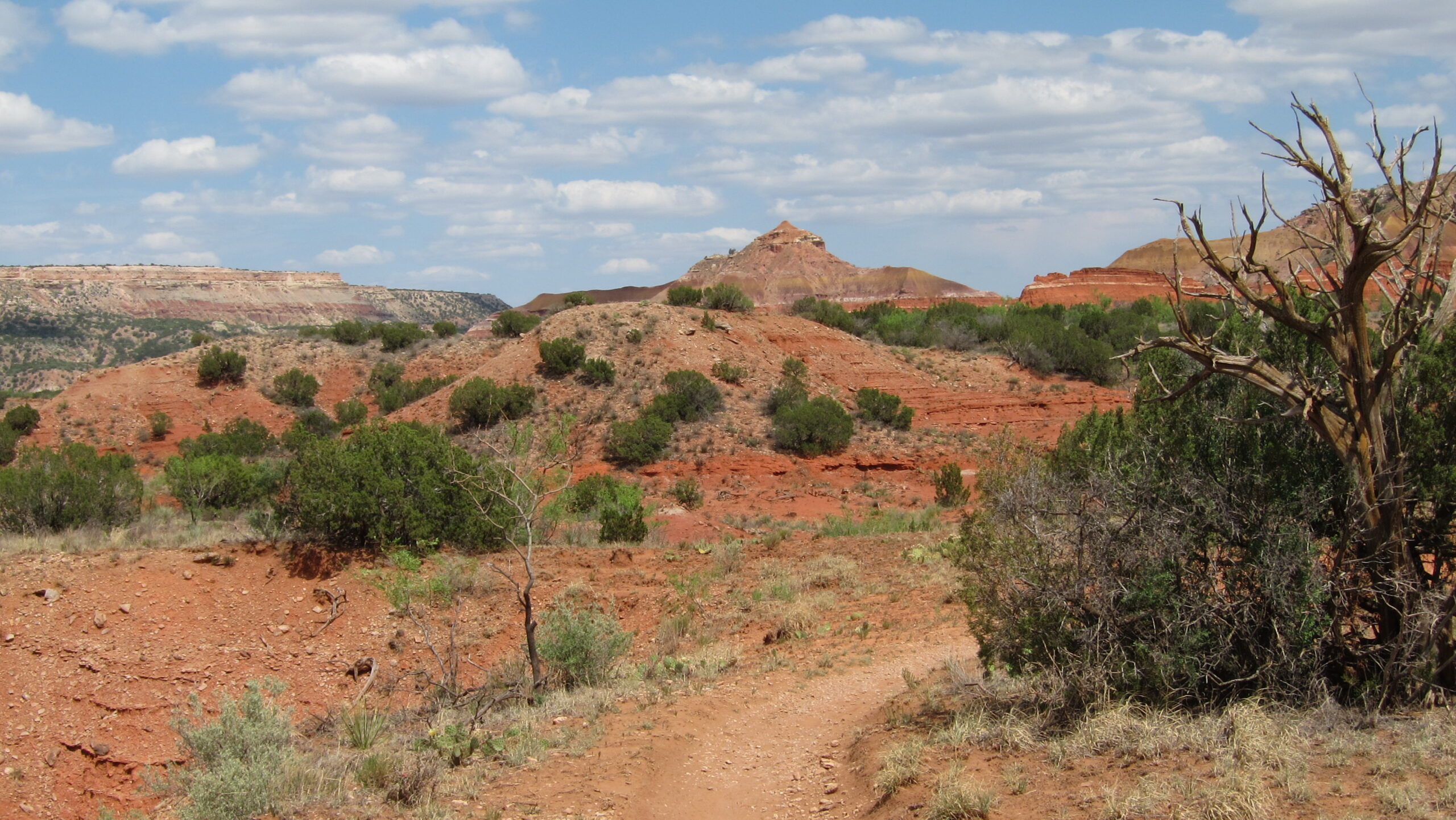
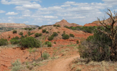
Caprock Canyons Trail 01

Caprock Canyons Trail 02

Caprock Canyons Trail 03

Caprock Canyons Trail 04

Caprock Canyons Trail 05

Dog Canyon Trail 01

Dog Canyon Trail 02

Dog Canyon Trail 03

Dog Canyon Trail 04

Dog Canyon Trail 05

Little Bear Canyon Trail 01

Little Bear Canyon Trail 02
Little Bear Canyon Trail 03

Little Bear Canyon Trail 04

Little Bear Canyon Trail 05

Narrows Rim Trail 01

Narrows Rim Trail 02

Narrows Rim Trail 03

Narrows Rim Trail 04

Narrows Rim Trail 05

Palo Duro Canyon Trail 1 01

Palo Duro Canyon Trail 1 02

Palo Duro Canyon Trail 1 03

Palo Duro Canyon Trail 1 04

Palo Duro Canyon Trail 1 05

Palo Duro Canyon Trail 2 01

Palo Duro Canyon Trail 2 02

Palo Duro Canyon Trail 2 03

Palo Duro Canyon Trail 2 04

Palo Duro Canyon Trail 2 05

Sawyers Peak 01

Sawyers Peak 02

Sawyers Peak 03

Sawyers Peak 04

Sawyers Peak 05

West Fork Trail 01

West Fork Trail 02

West Fork Trail 03

West Fork Trail 04

West Fork Trail 05