

Seiteninhalt
Bisti Wilderness Trail 1, New Mexico, USA
Gesamtstrecke: 6.9 km
Maximale Höhe: 1793 m
Minimale Höhe: 1754 m
Gesamtanstieg: 234 m
Gesamtzeit: 02:18:16
Download file: Bisti-Wilderness-Trail-1.gpxMaximale Höhe: 1793 m
Minimale Höhe: 1754 m
Gesamtanstieg: 234 m
Gesamtzeit: 02:18:16
Bisti Wilderness Trail 2, New Mexico, USA
Gesamtstrecke: 10.85 km
Maximale Höhe: 1784 m
Minimale Höhe: 1740 m
Gesamtanstieg: 287 m
Gesamtzeit: 03:20:55
Download file: Bisti-Wilderness-Trail-2.gpxMaximale Höhe: 1784 m
Minimale Höhe: 1740 m
Gesamtanstieg: 287 m
Gesamtzeit: 03:20:55
Bisti Wilderness Trail 3, New Mexico, USA
Gesamtstrecke: 5.97 km
Maximale Höhe: 1776 m
Minimale Höhe: 1752 m
Gesamtanstieg: 156 m
Gesamtzeit: 01:43:48
Download file: Bisti-Wilderness-Trail-3.gpxMaximale Höhe: 1776 m
Minimale Höhe: 1752 m
Gesamtanstieg: 156 m
Gesamtzeit: 01:43:48
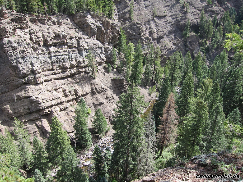
Jemez Falls Trail, New Mexico, USA
Gesamtstrecke: 9.37 km
Maximale Höhe: 2438 m
Minimale Höhe: 2258 m
Gesamtanstieg: 515 m
Gesamtzeit: 03:22:36
Download file: Jemez-Falls-Trail.gpxMaximale Höhe: 2438 m
Minimale Höhe: 2258 m
Gesamtanstieg: 515 m
Gesamtzeit: 03:22:36
La Junta Trail mit River Trail, New Mexico, USA
Gesamtstrecke: 11.24 km
Maximale Höhe: 2296 m
Minimale Höhe: 2027 m
Gesamtanstieg: 520 m
Gesamtzeit: 03:43:24
Download file: La-Junta-Trail-mit-River-Trail.gpxMaximale Höhe: 2296 m
Minimale Höhe: 2027 m
Gesamtanstieg: 520 m
Gesamtzeit: 03:43:24
Mosca Pass Trail, Colorado, USA
Gesamtstrecke: 13.46 km
Maximale Höhe: 2950 m
Minimale Höhe: 2528 m
Gesamtanstieg: 577 m
Gesamtzeit: 03:37:05
Download file: Mosca-Pass-Trail.gpxMaximale Höhe: 2950 m
Minimale Höhe: 2528 m
Gesamtanstieg: 577 m
Gesamtzeit: 03:37:05
North Vista Trail, Colorado, USA
Gesamtstrecke: 12.41 km
Maximale Höhe: 2609 m
Minimale Höhe: 2315 m
Gesamtanstieg: 575 m
Gesamtzeit: 04:36:18
Download file: North-Vista-Trail.gpxMaximale Höhe: 2609 m
Minimale Höhe: 2315 m
Gesamtanstieg: 575 m
Gesamtzeit: 04:36:18
Santa Fe Baldy, New Mexico, USA
Gesamtstrecke: 25.39 km
Maximale Höhe: 3860 m
Minimale Höhe: 3138 m
Gesamtanstieg: 1485 m
Gesamtzeit: 08:27:25
Download file: Santa-Fe-Baldy.gpxMaximale Höhe: 3860 m
Minimale Höhe: 3138 m
Gesamtanstieg: 1485 m
Gesamtzeit: 08:27:25
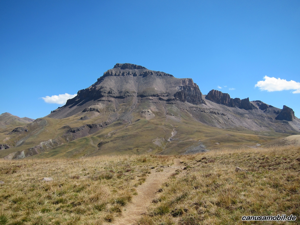
Uncompahgre Peak, Colorado, USA
Gesamtstrecke: 28.17 km
Maximale Höhe: 4015 m
Minimale Höhe: 2824 m
Gesamtanstieg: 1743 m
Gesamtzeit: 09:14:19
Download file: Uncompahgre-Peak.gpxMaximale Höhe: 4015 m
Minimale Höhe: 2824 m
Gesamtanstieg: 1743 m
Gesamtzeit: 09:14:19
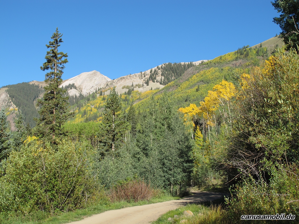
West Fork San Juan River Trail, Colorado, USA
Gesamtstrecke: 23.85 km
Maximale Höhe: 2818 m
Minimale Höhe: 2386 m
Gesamtanstieg: 1052 m
Gesamtzeit: 06:48:05
Download file: West-Fork-San-Juan-River-Trail.gpxMaximale Höhe: 2818 m
Minimale Höhe: 2386 m
Gesamtanstieg: 1052 m
Gesamtzeit: 06:48:05
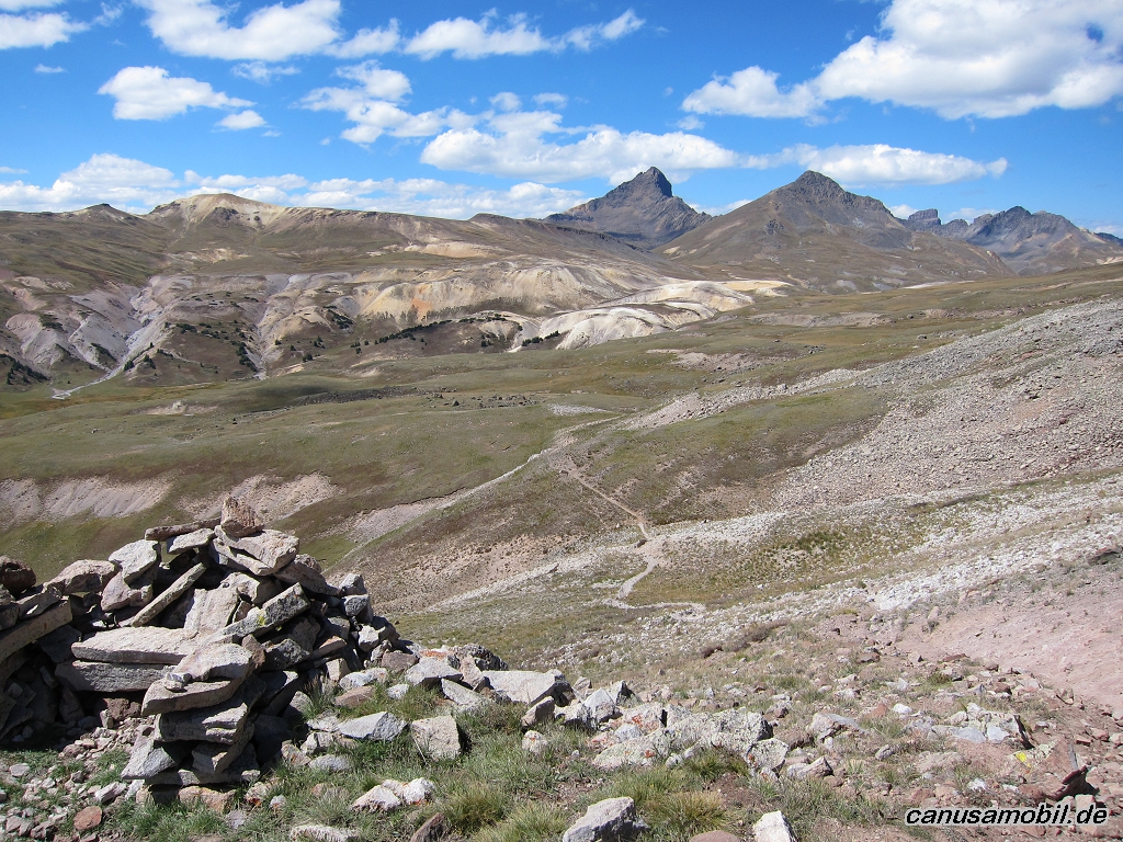
Wheeler Peak, New Mexico, USA
Gesamtstrecke: 22.08 km
Maximale Höhe: 4002 m
Minimale Höhe: 2889 m
Gesamtanstieg: 1564 m
Gesamtzeit: 07:26:41
Download file: Wheeler-Peak.gpxMaximale Höhe: 4002 m
Minimale Höhe: 2889 m
Gesamtanstieg: 1564 m
Gesamtzeit: 07:26:41
Fotoalbum
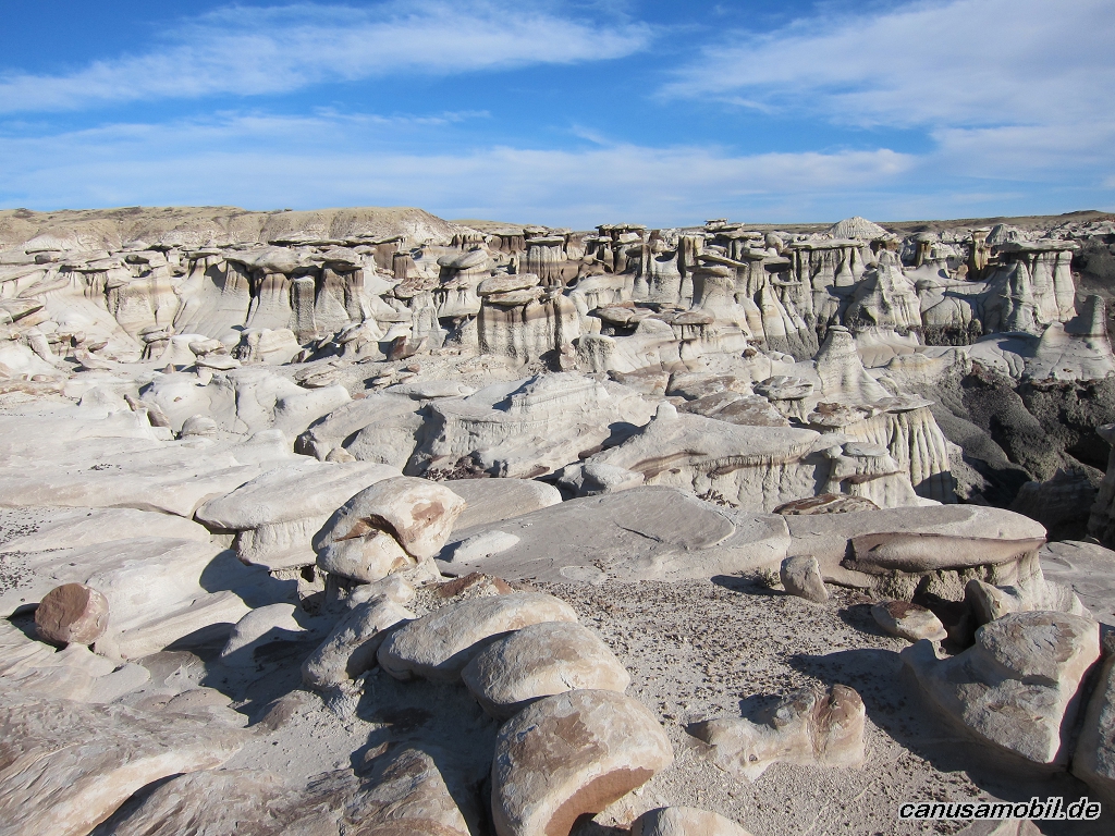
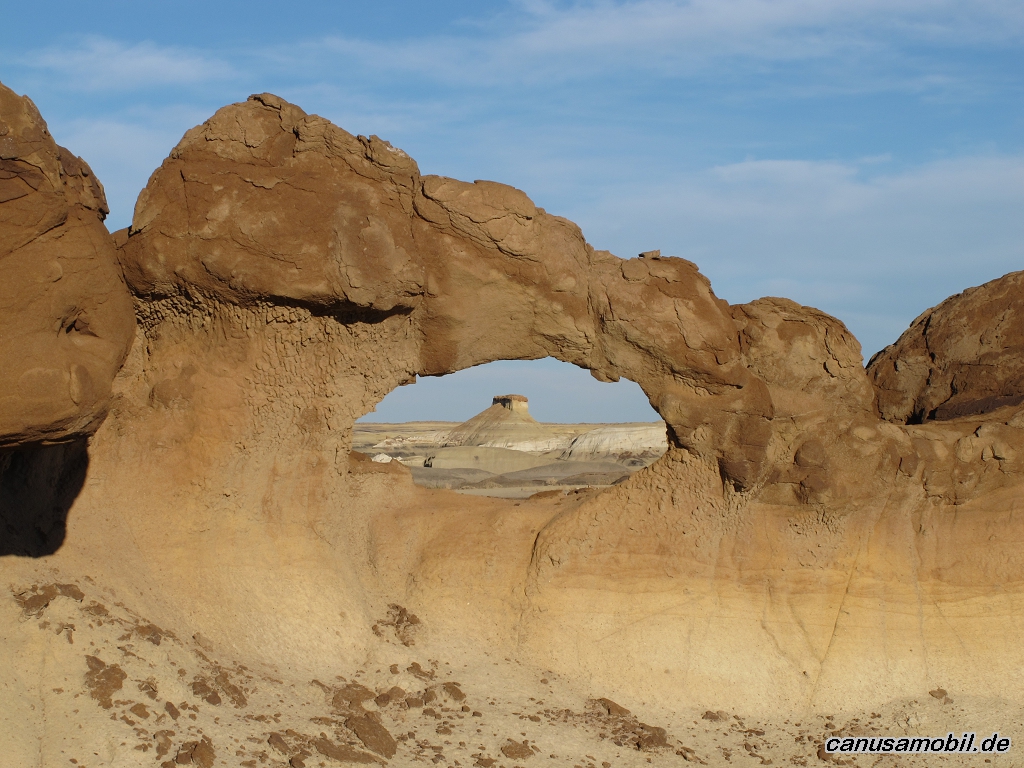
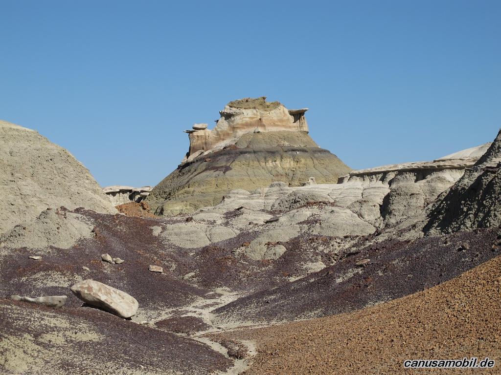
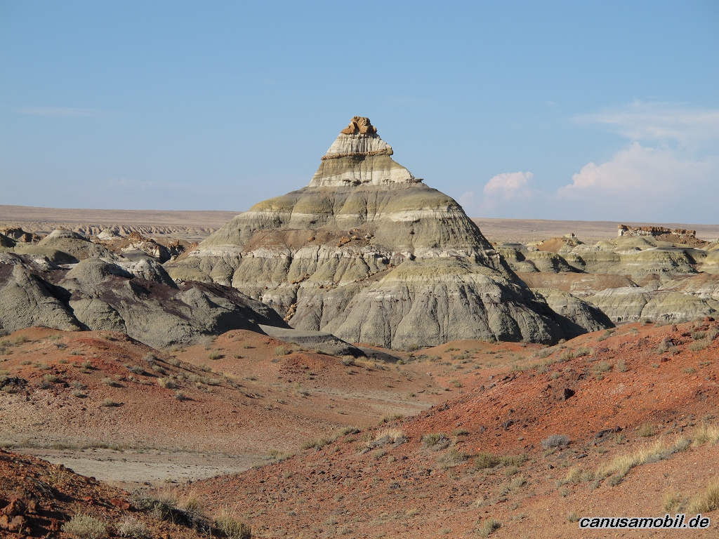
Bisti Wilderness 1 01
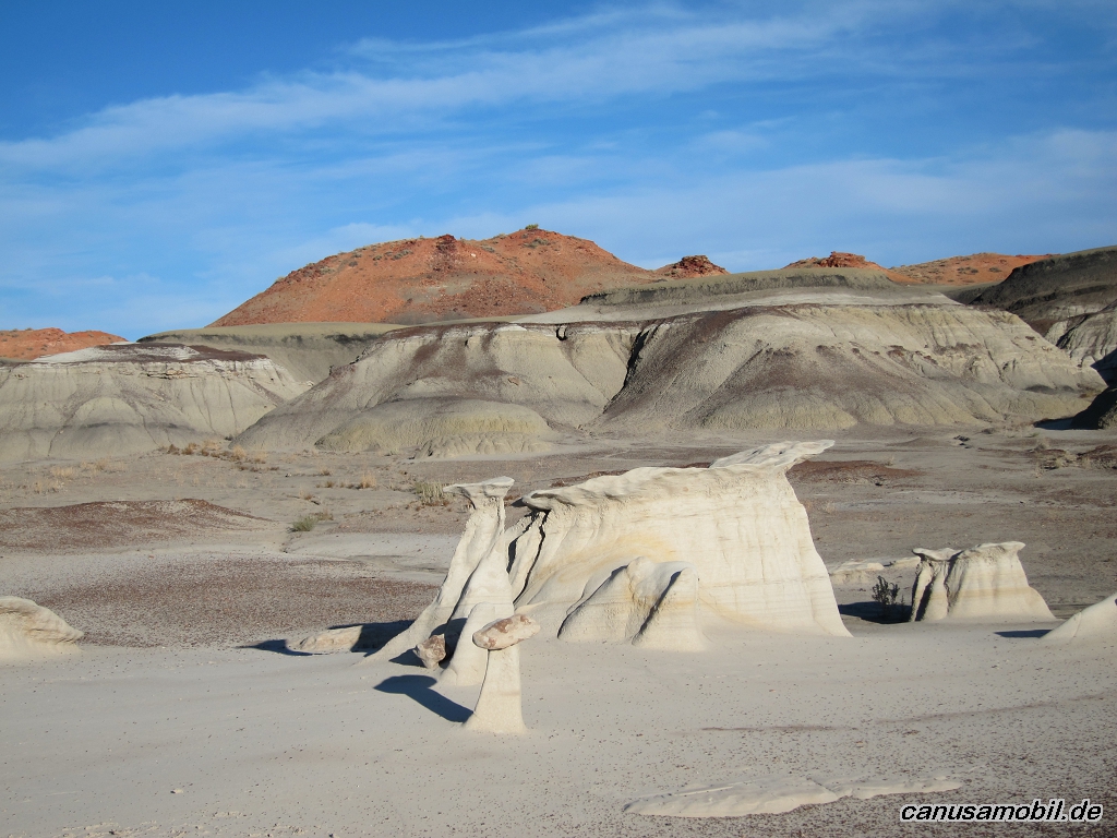
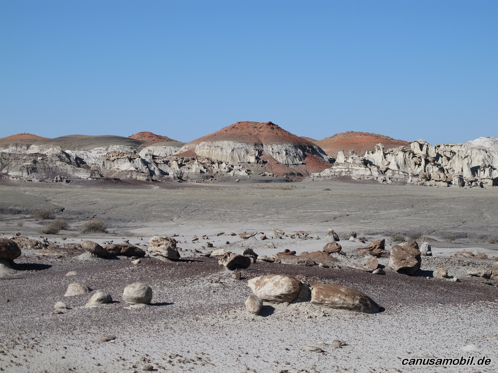
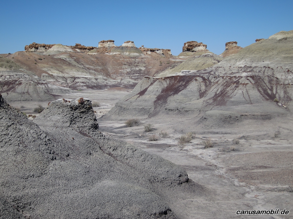
Bisti Wilderness 1 02
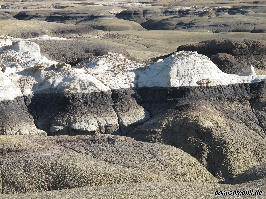
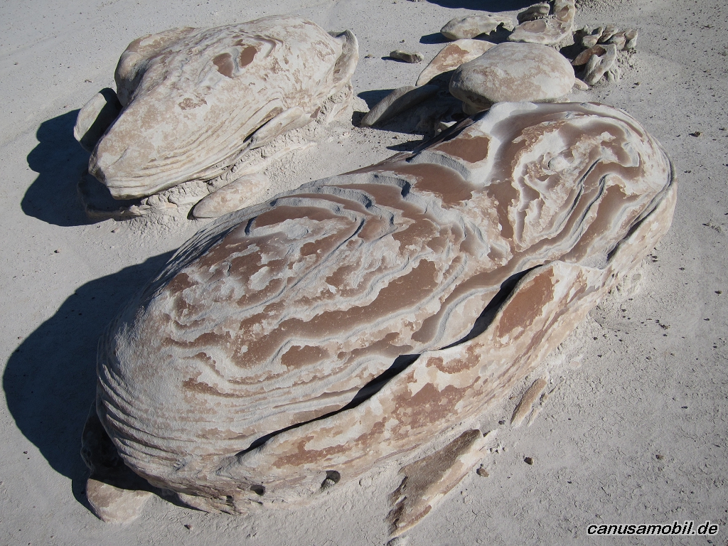
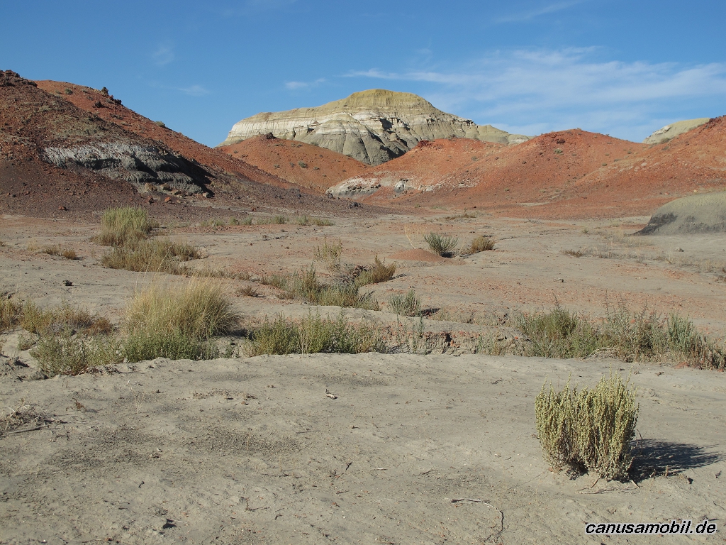
Bisti Wilderness 1 03
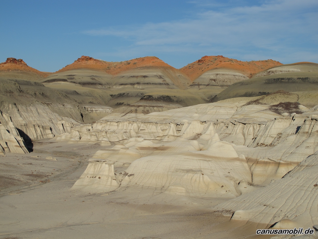
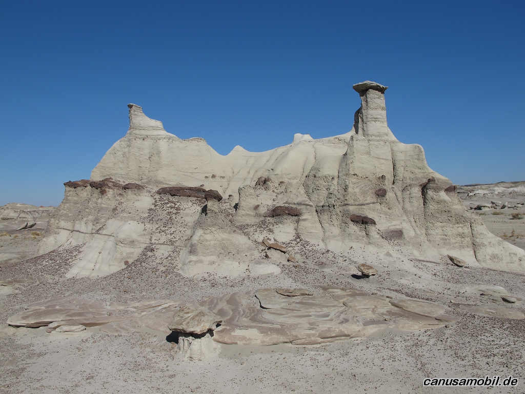
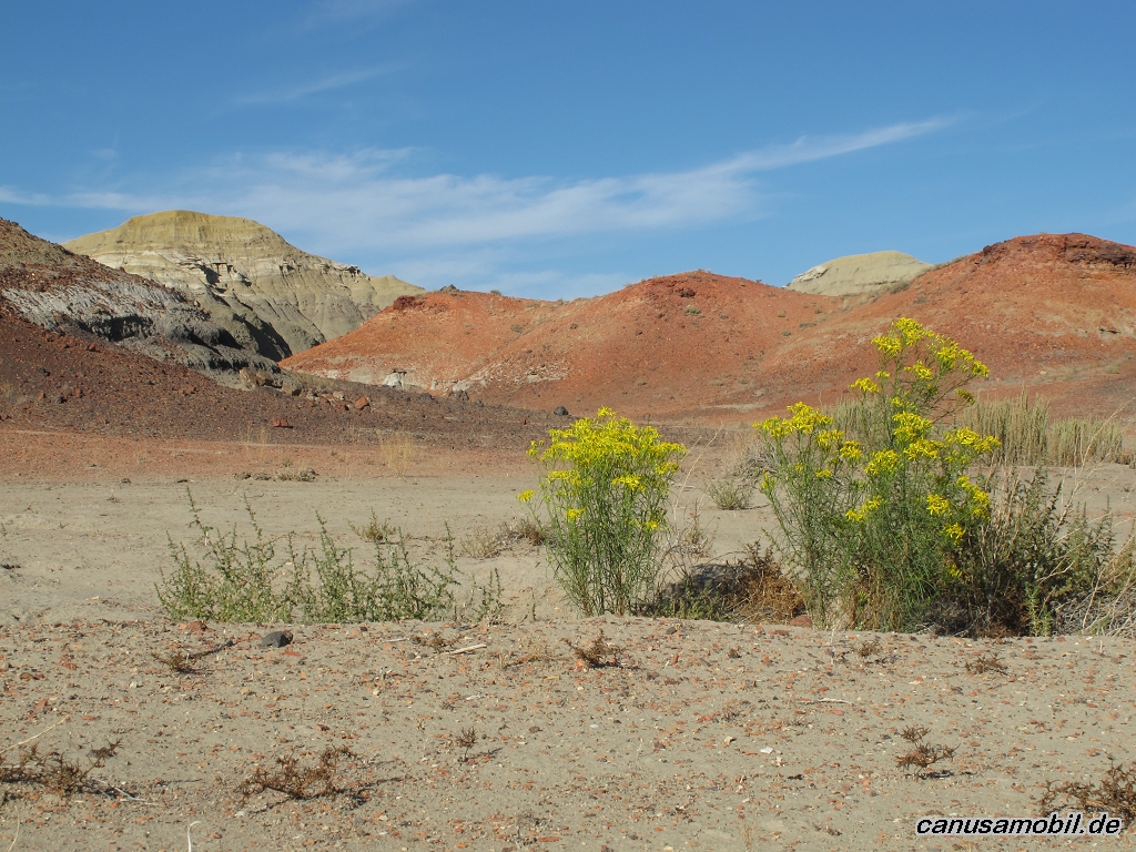
Bisti Wilderness 1 04
Bisti Wilderness 1 05
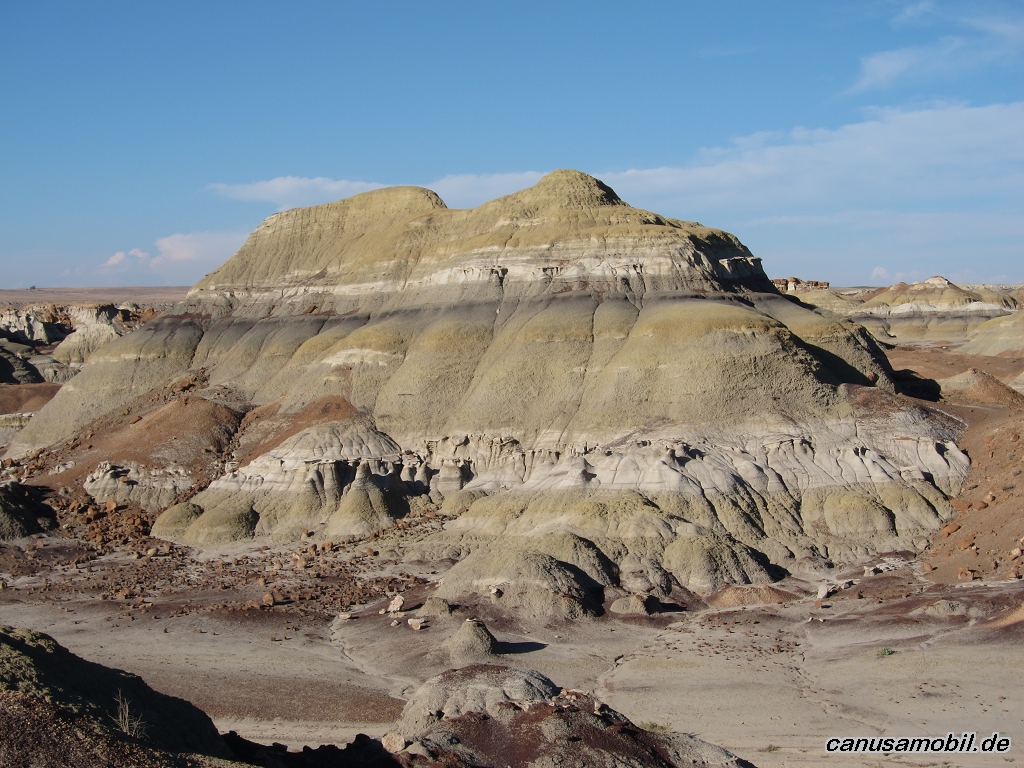
Bisti Wilderness 2 01
Bisti Wilderness 2 02
Bisti Wilderness 2 03
Bisti Wilderness 2 04
Bisti Wilderness 2 05
Bisti Wilderness 3 01
Bisti Wilderness 3 02
Bisti Wilderness 3 03
Bisti Wilderness 3 04
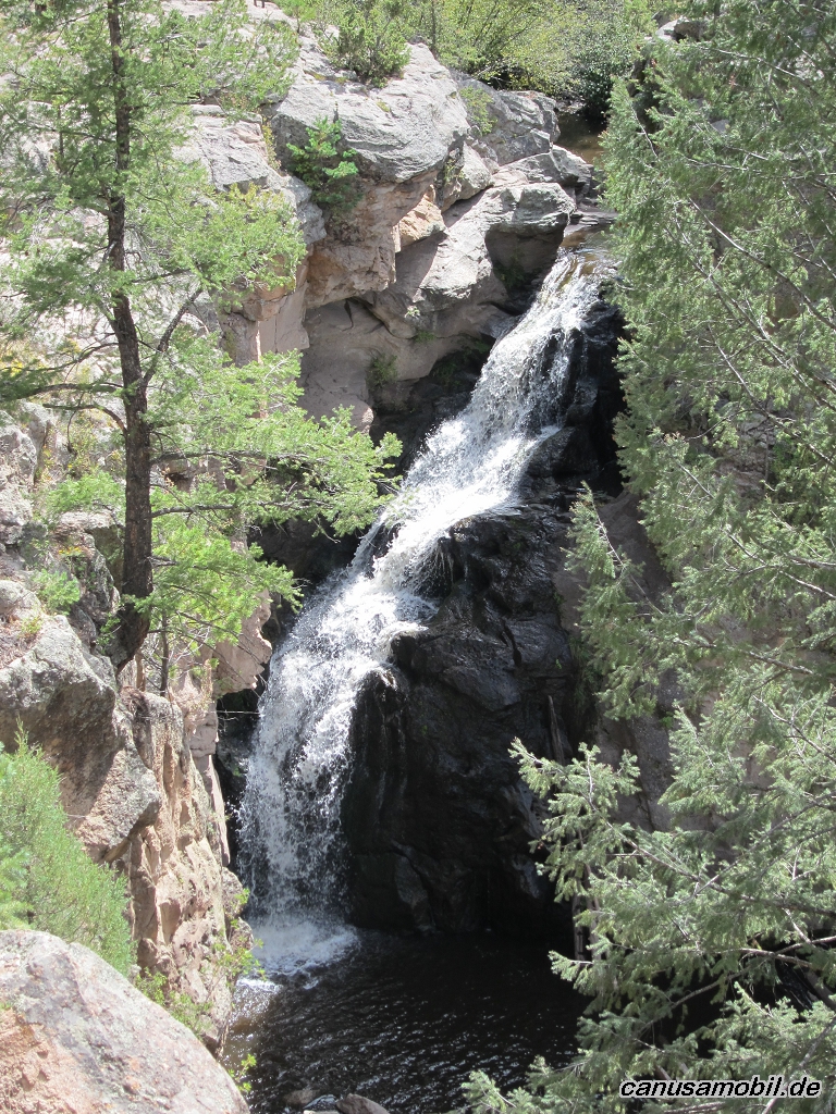
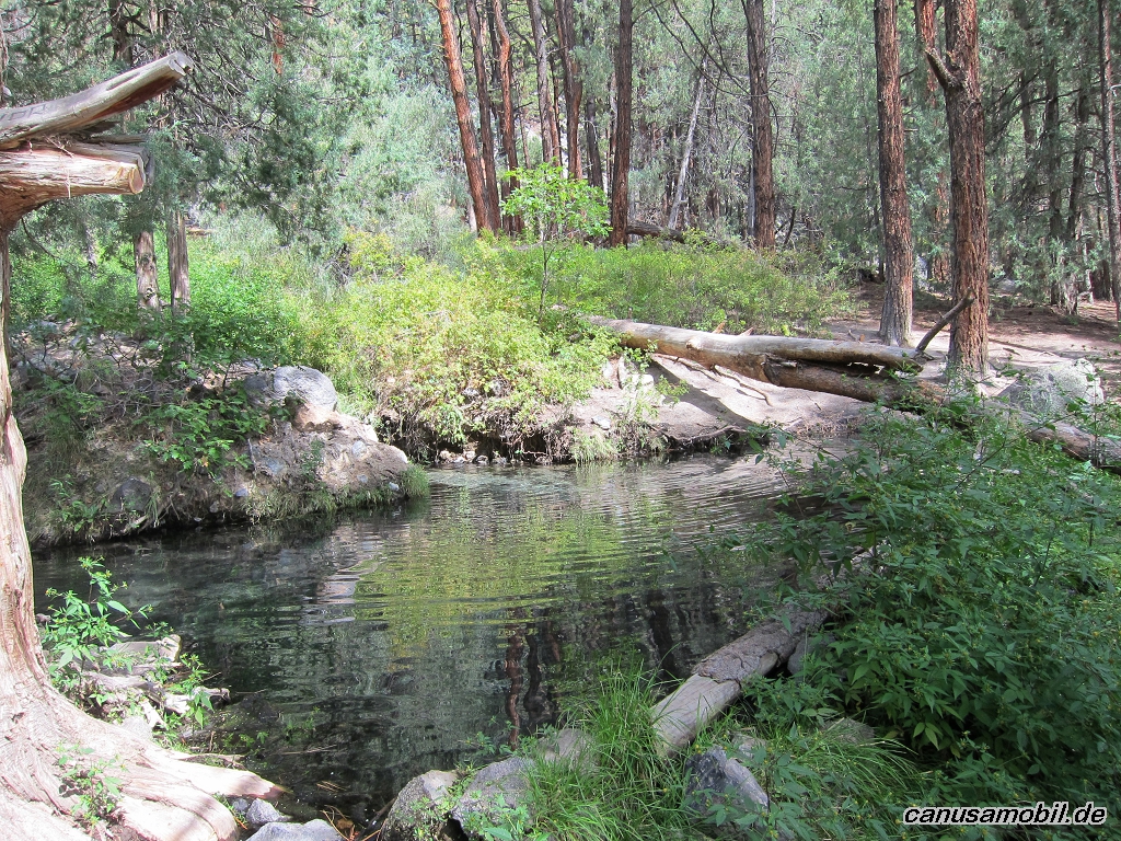
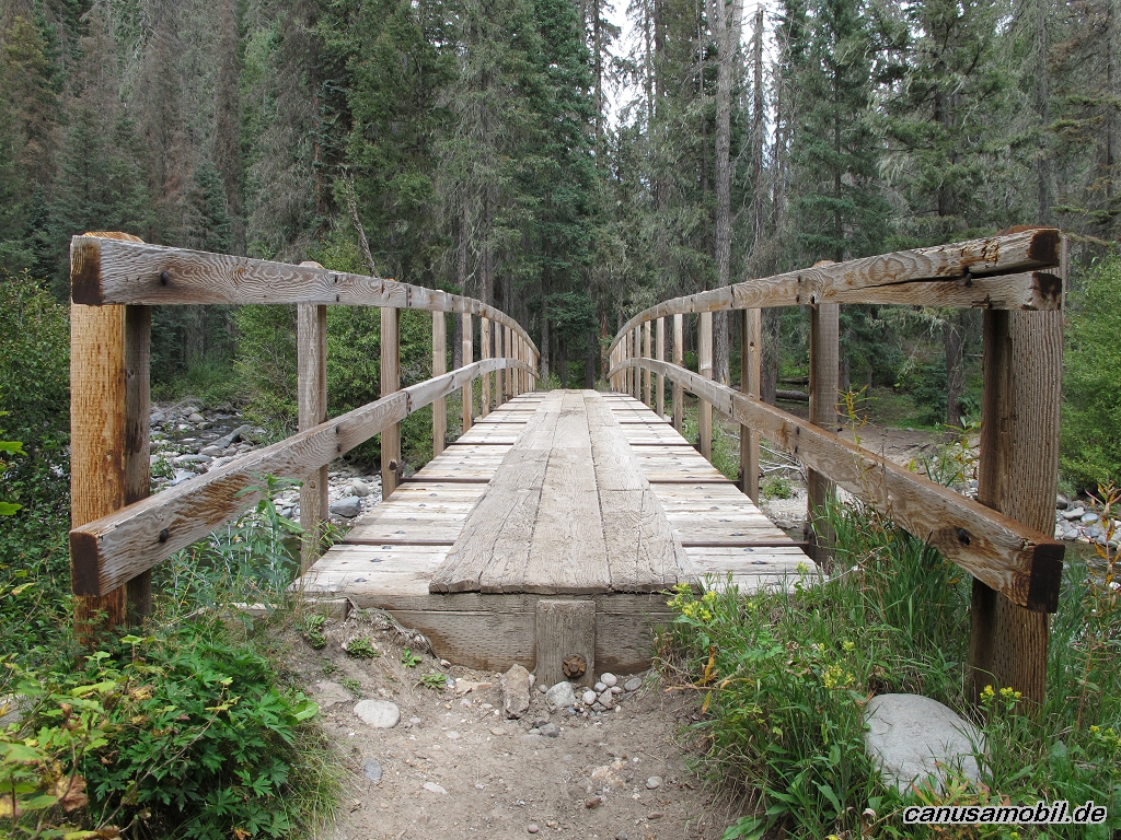
Jemez Falls Trail 01
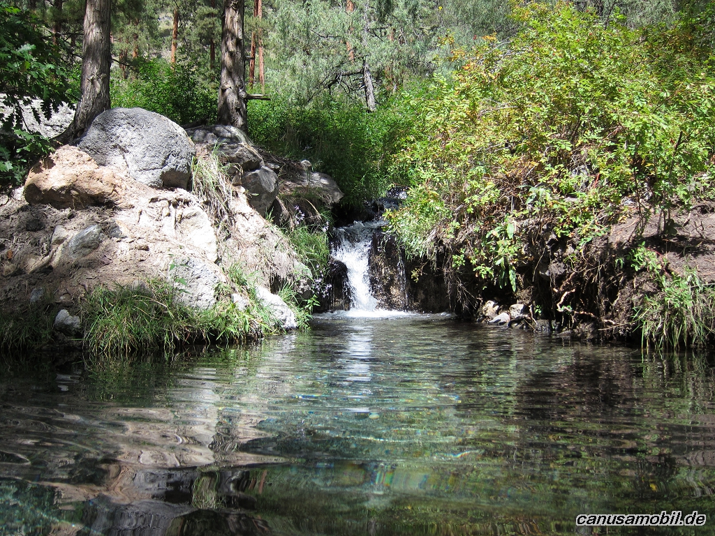
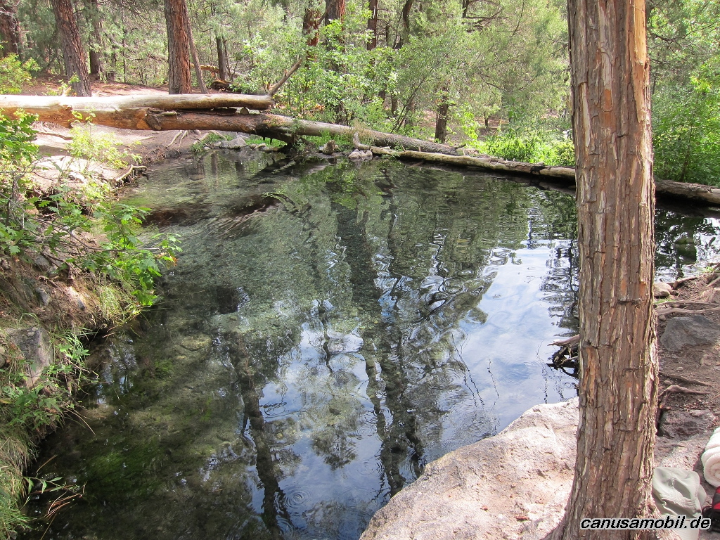
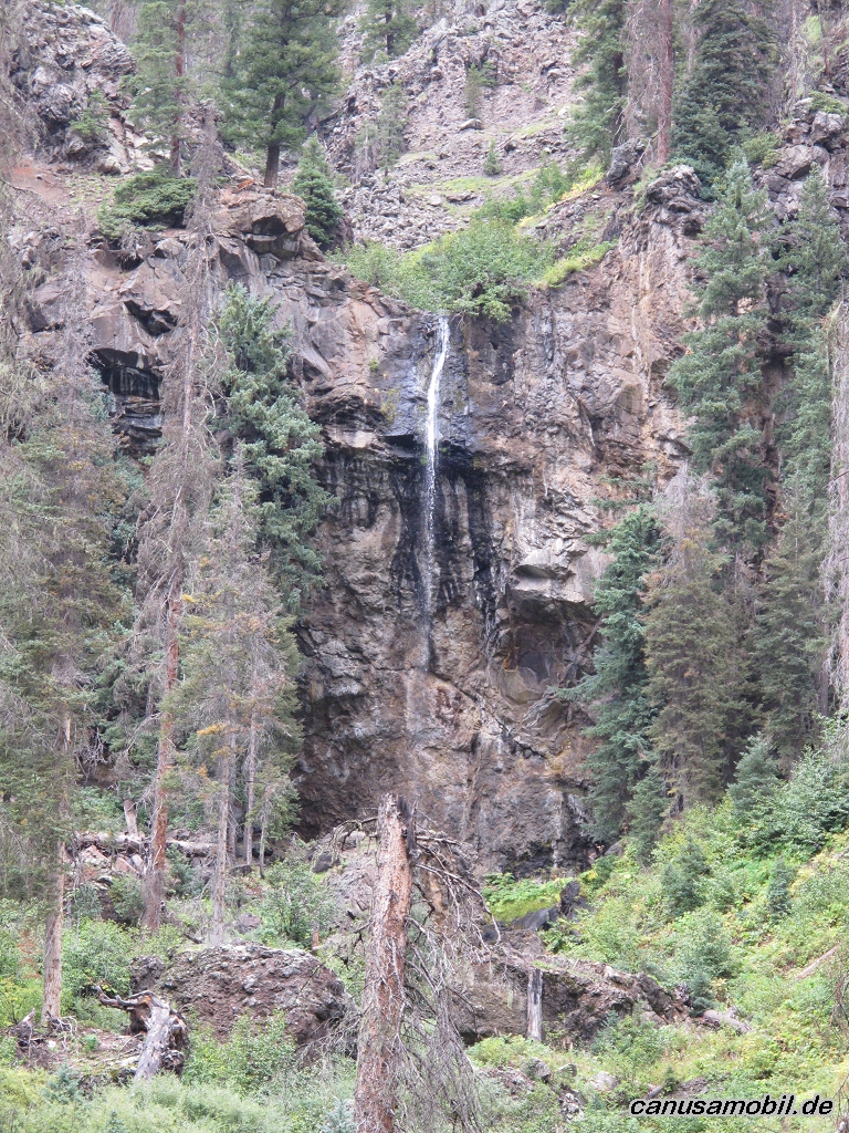
Jemez Falls Trail 02
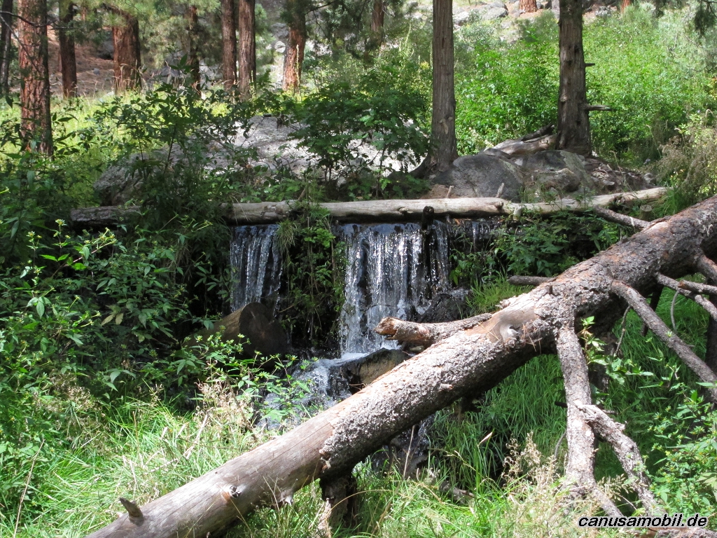
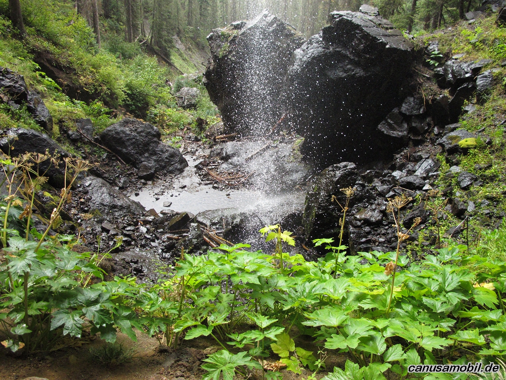
Jemez Falls Trail 03
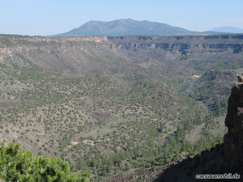
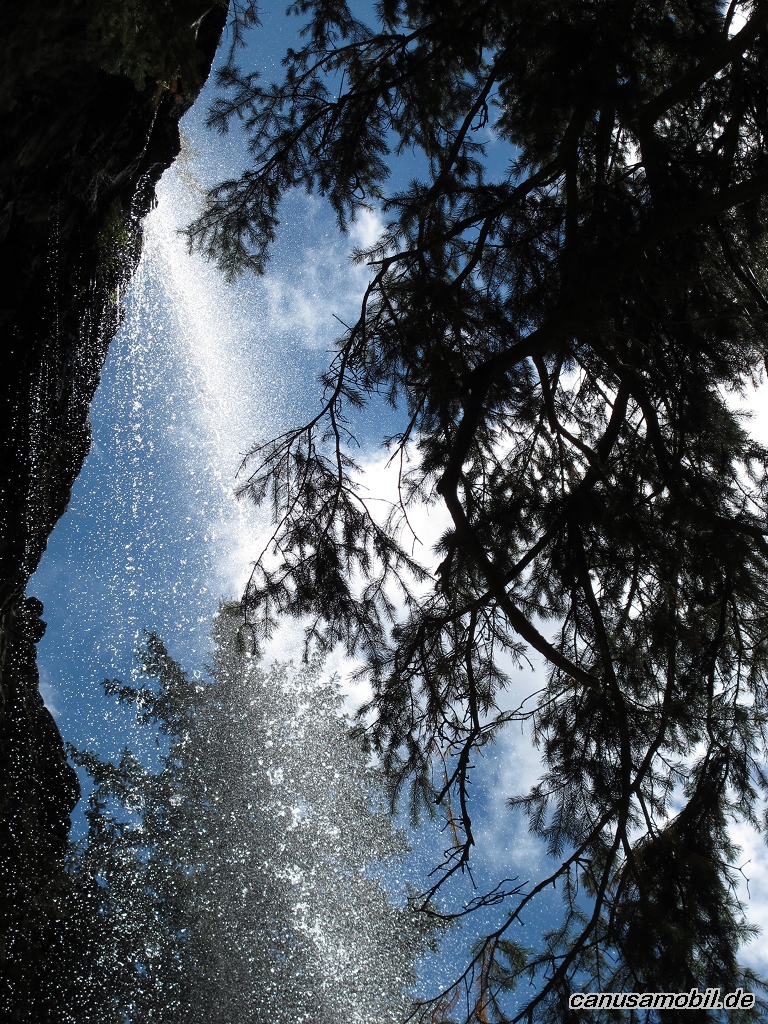
Jemez Falls Trail 04
Jemez Falls Trail 05
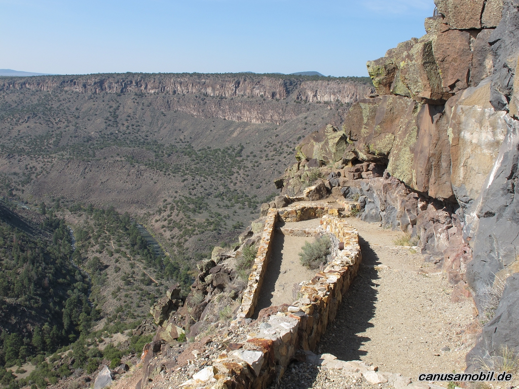
La Junta Trail mit River Trail 01
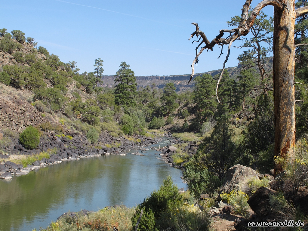
La Junta Trail mit River Trail 02
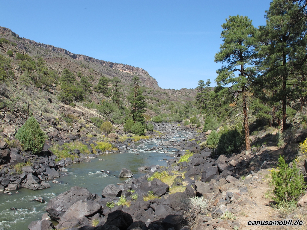
La Junta Trail mit River Trail 03
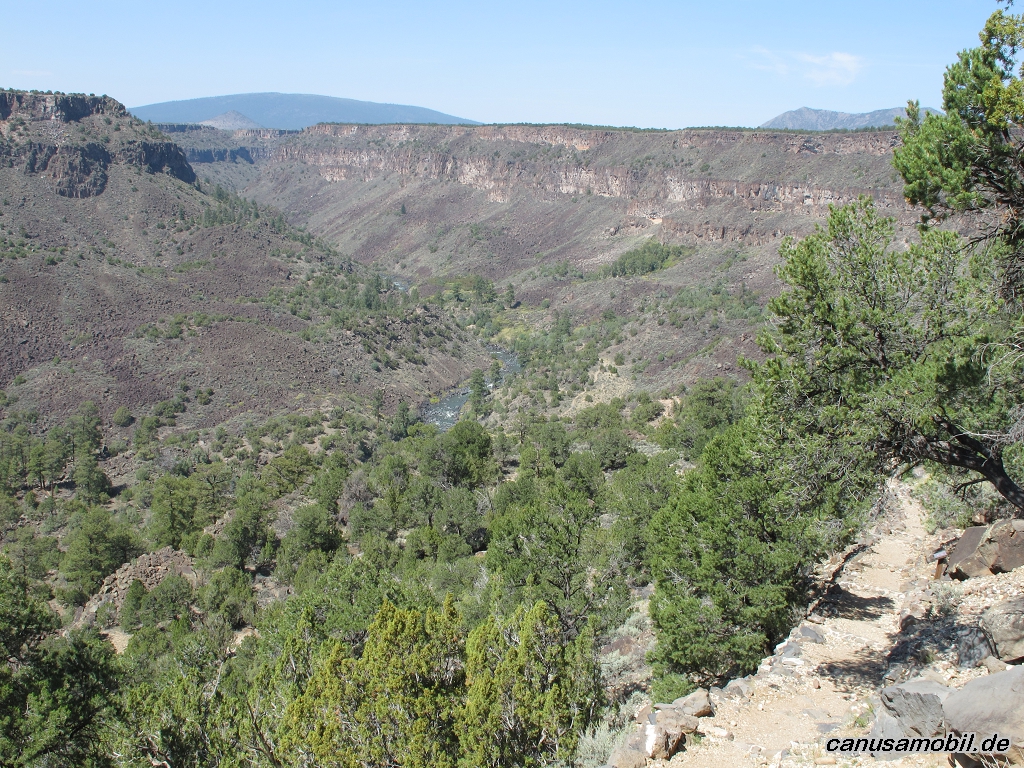
La Junta Trail mit River Trail 04
La Junta Trail mit River Trail 05
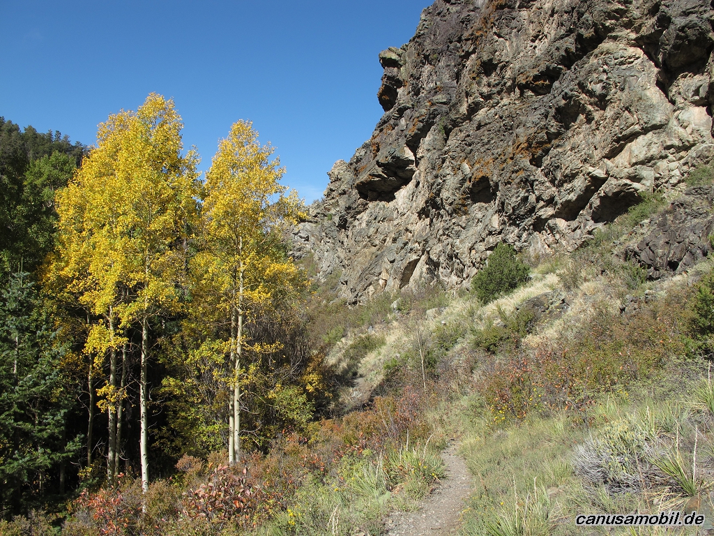
Mosca Pass Trail 01
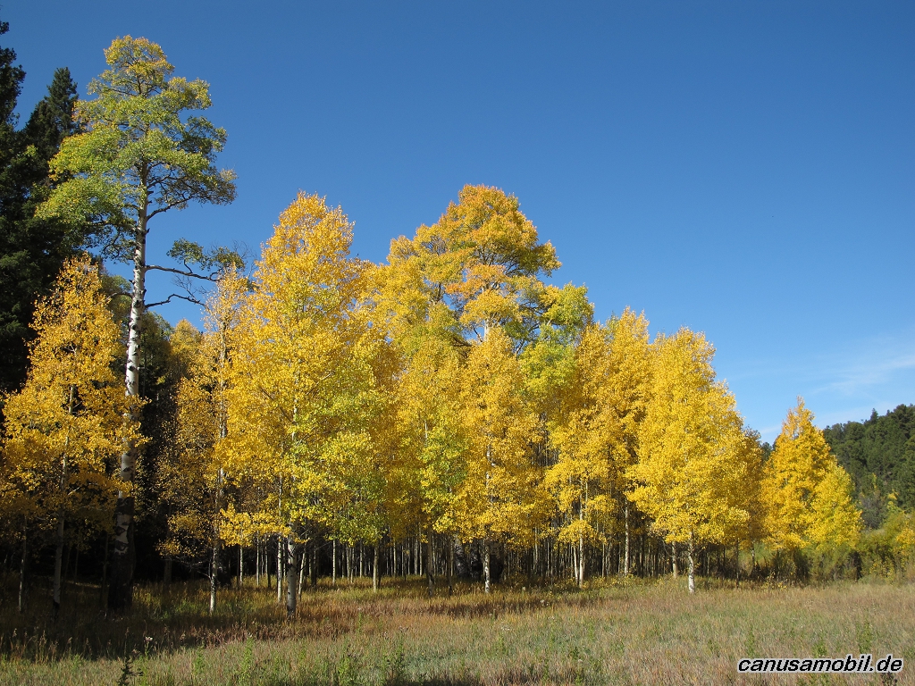
Mosca Pass Trail 02

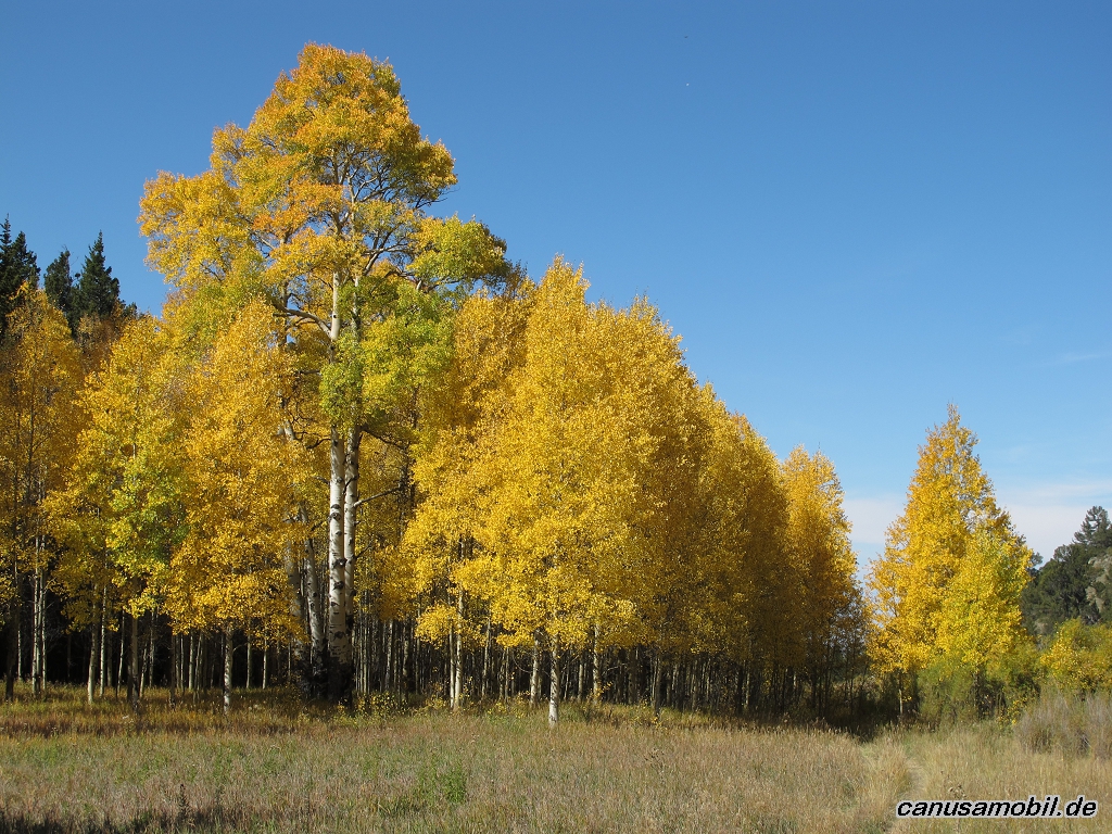
Mosca Pass Trail 03
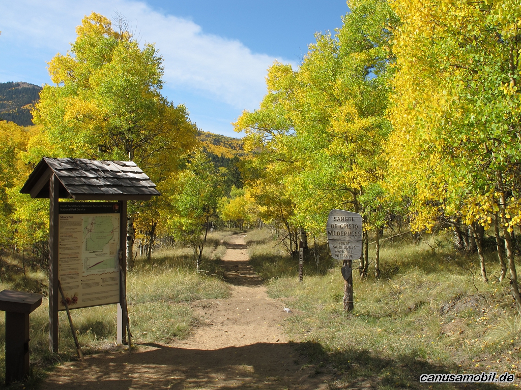
Mosca Pass Trail 04
Mosca Pass Trail 05
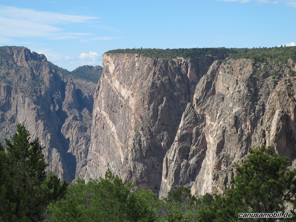
North Vista Trail 01
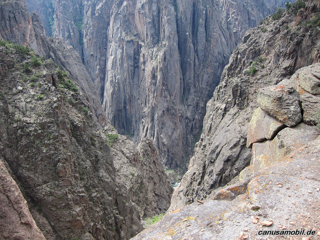
North Vista Trail 02
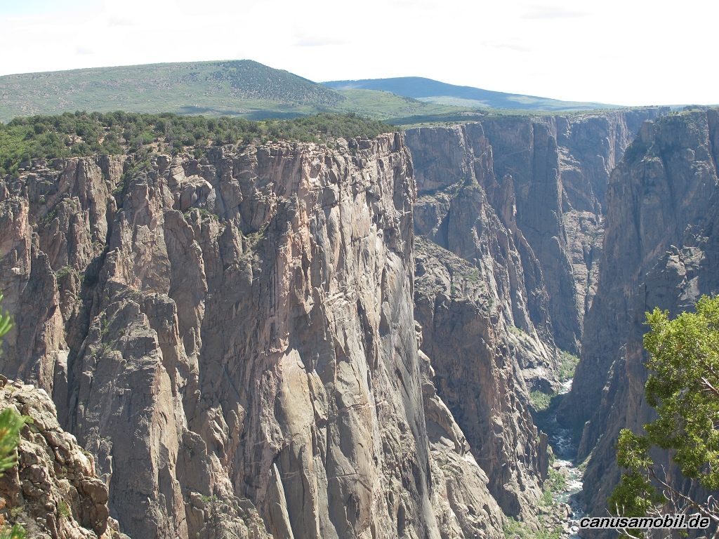
North Vista Trail 03

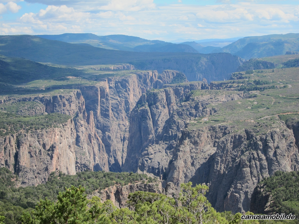
North Vista Trail 04
North Vista Trail 05
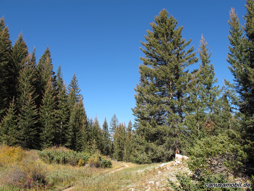
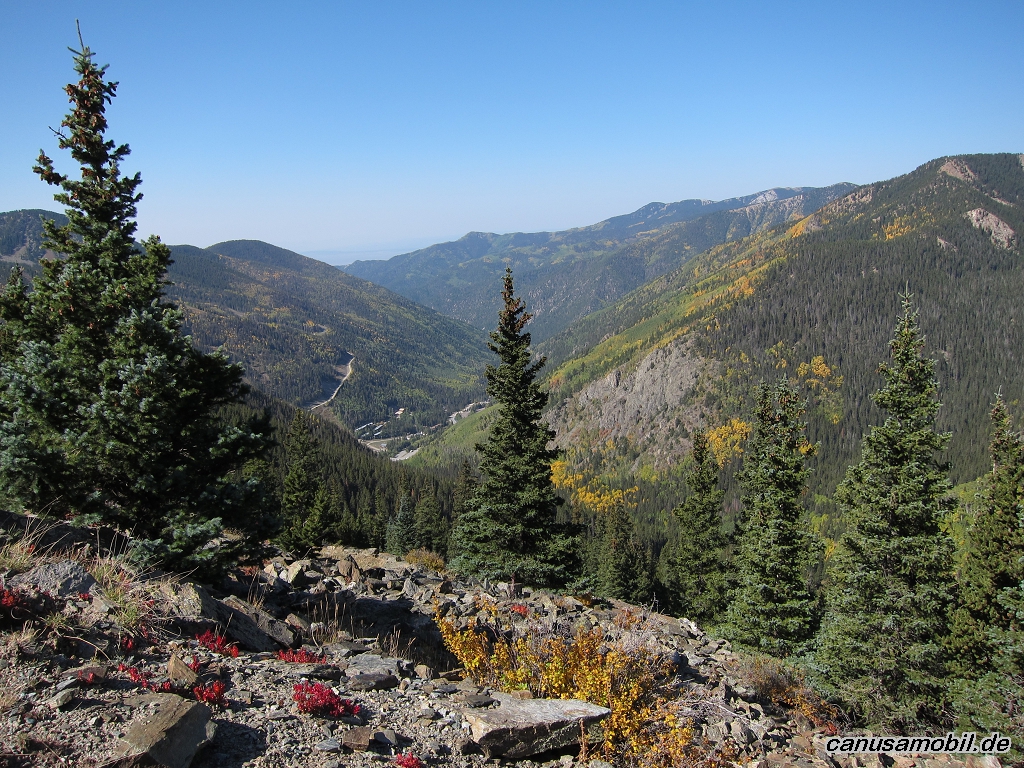
Santa Fe Baldy 01
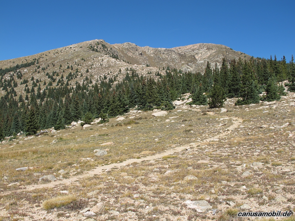
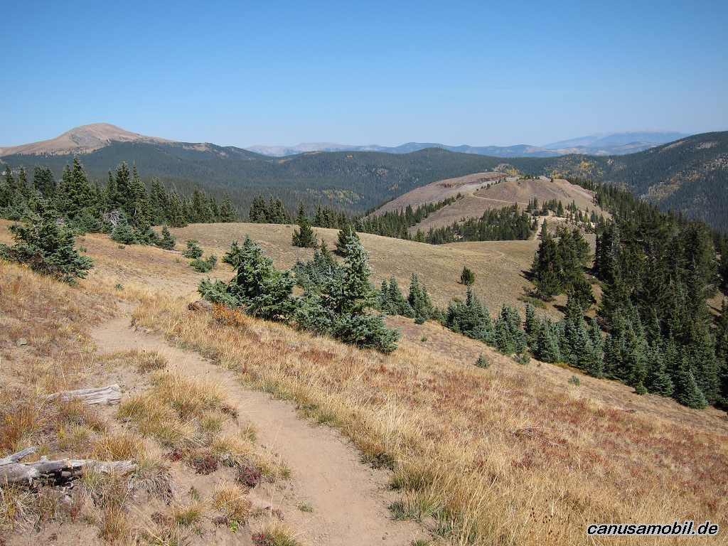
Santa Fe Baldy 02
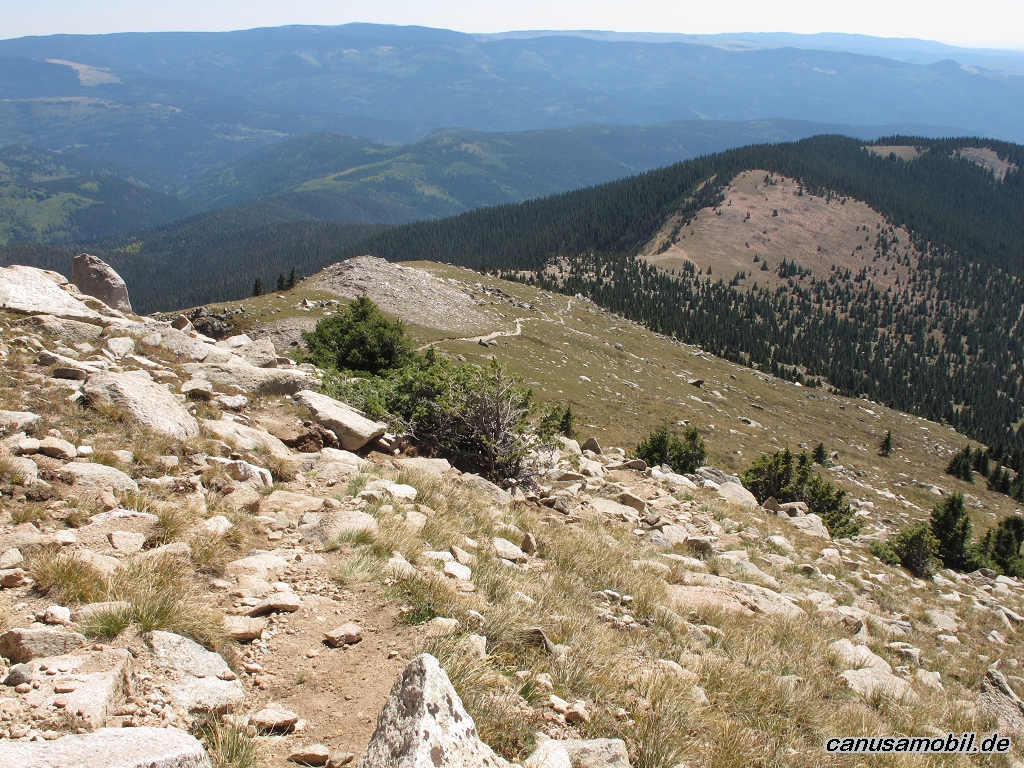
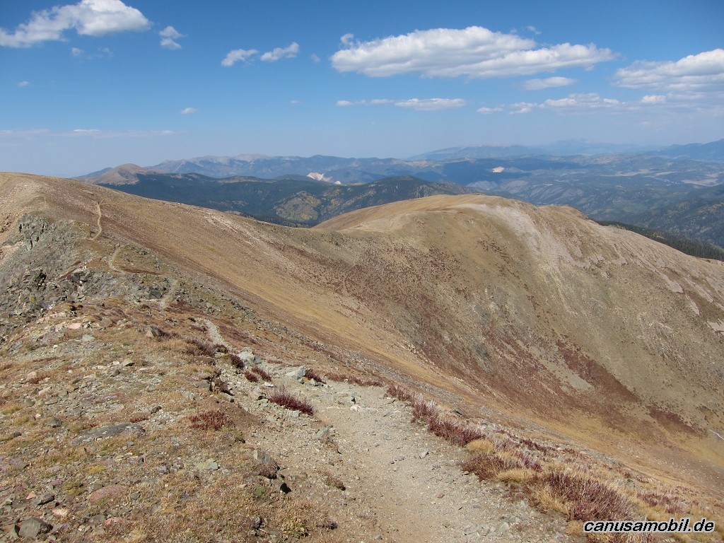
Santa Fe Baldy 03

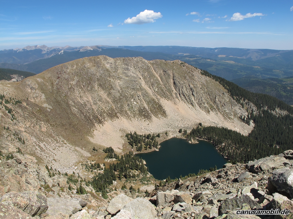
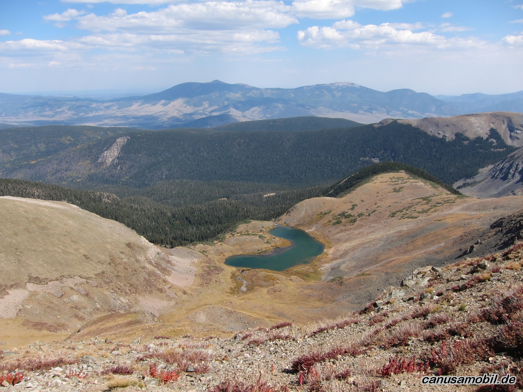
Santa Fe Baldy 04
Santa Fe Baldy 05
Uncompahgre Peak 01

Uncompahgre Peak 02

Uncompahgre Peak 03
Uncompahgre Peak 04
Uncompahgre Peak 05
West Fork San Juan River Trail 01
West Fork San Juan River Trail 02
West Fork San Juan River Trail 03
West Fork San Juan River Trail 04
West Fork San Juan River Trail 05

Wheeler Peak 01
Wheeler Peak 02
Wheeler Peak 03
Wheeler Peak 04
Wheeler Peak 05